По дорогам Испании
Lo único que necesitaba era un volante entre las manos y cuatro ruedas sobre la carretera.
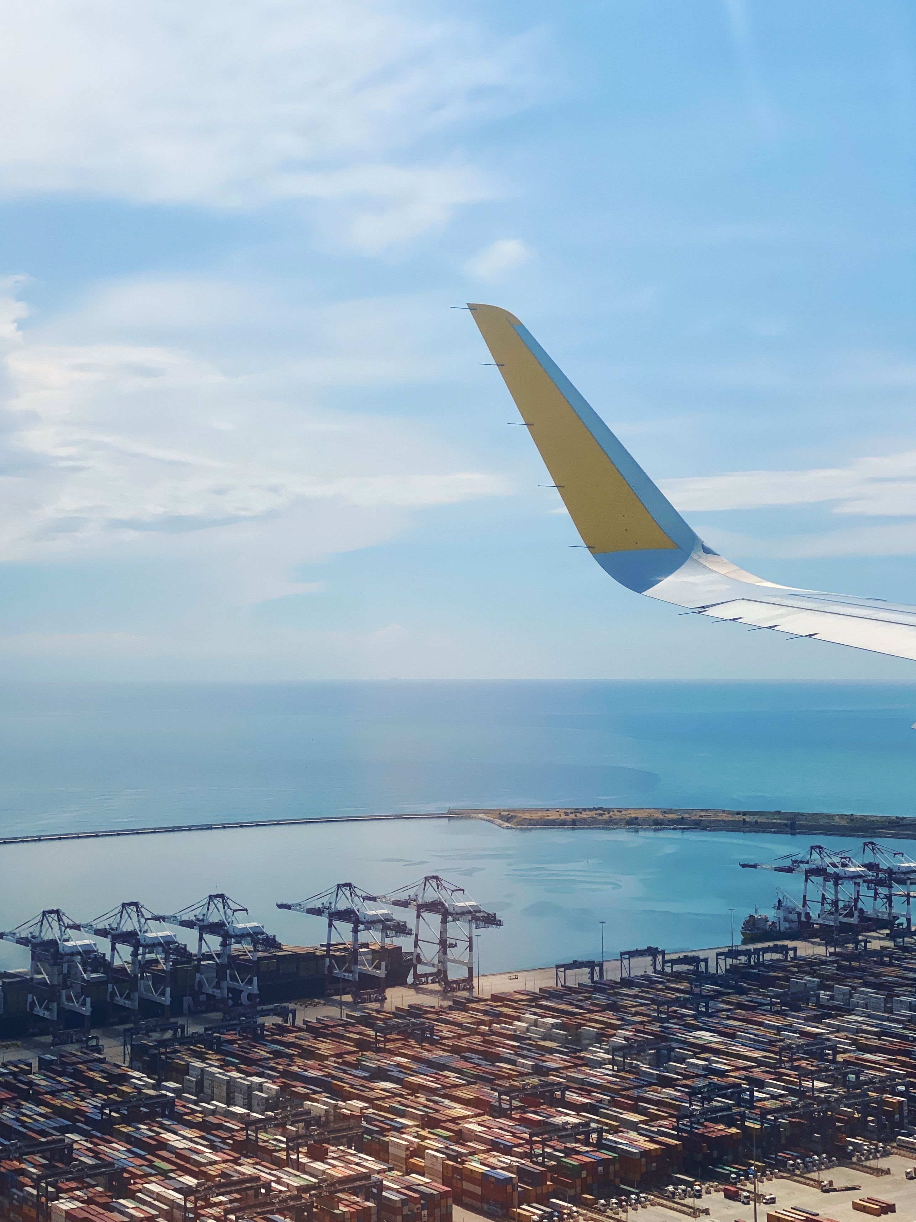
Самолет трясло почти весь полет, большая воздушная яма при приземлении и удивительно мягкая посадка (наверное, чтобы хоть как-то сгладить впечатления от полета). Мы приземлились в аэропорту Эль-Прат.
Небольшое отступление. Это путешествие мы совершили вдвоем с женой, и, честно говоря, оно было не особо-то и спланировано. За пару недель до этого, я лишь отметил несколько обязательных точек и прикинул примерный пробег. Каждое утро мы просто тратили немного времени, чтобы спланировать предстоящий день – маршрут, места для посещения, ночлег и т.д. Но хватит о скучном, погнали в Барселону!

Барселона
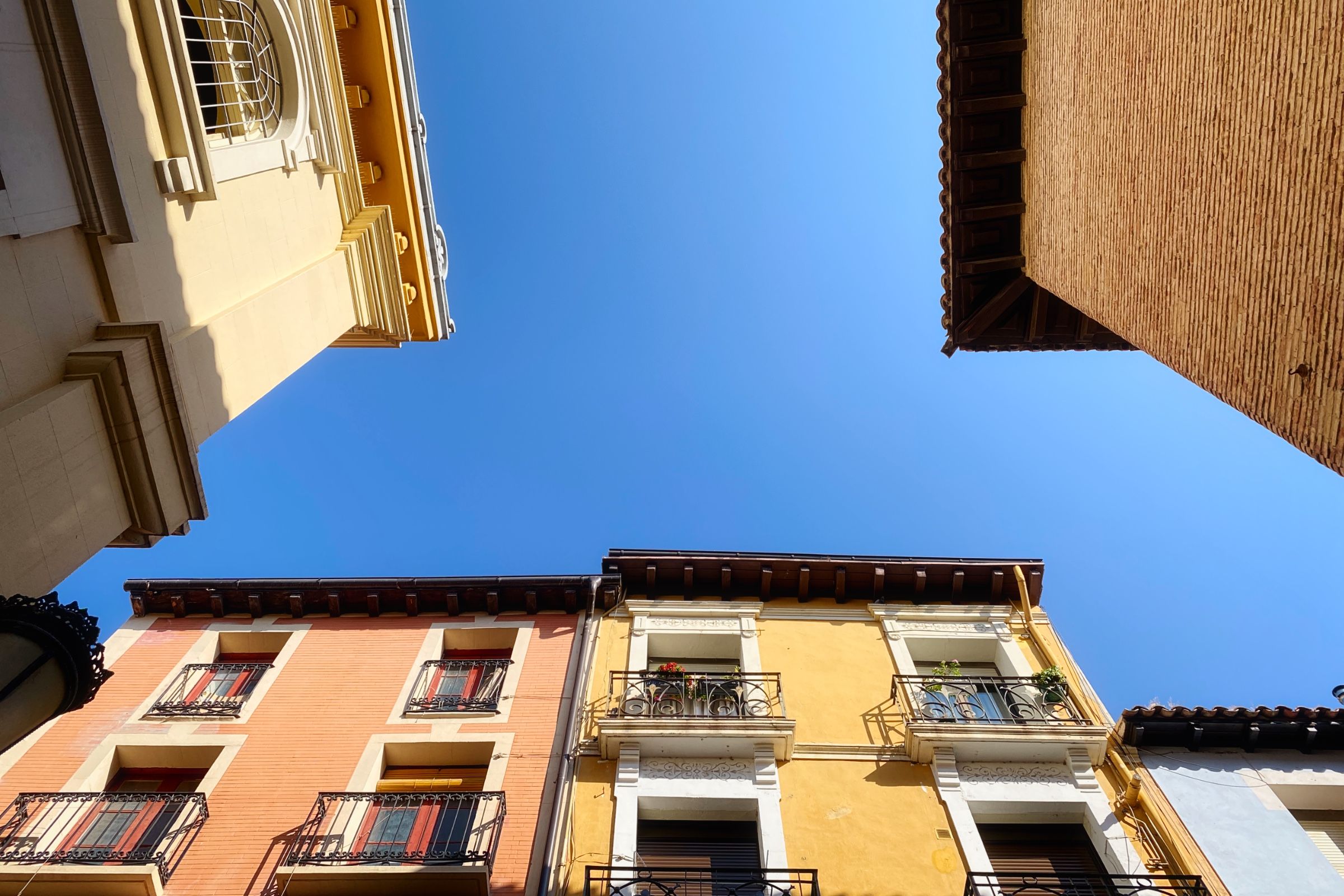
Час до отеля в холодном ❄️ вагоне метро, немного отдохнуть после перелета – и мы готовы выходить. Основная цель на оставшуюся часть дня – старый центр города, или Ciutat Vella на каталонском. Барселона находится в регионе Каталония и у них свой язык, который отличается от испанского, поэтому на улицах часто можно увидеть вывески и надписи на обоих языках.
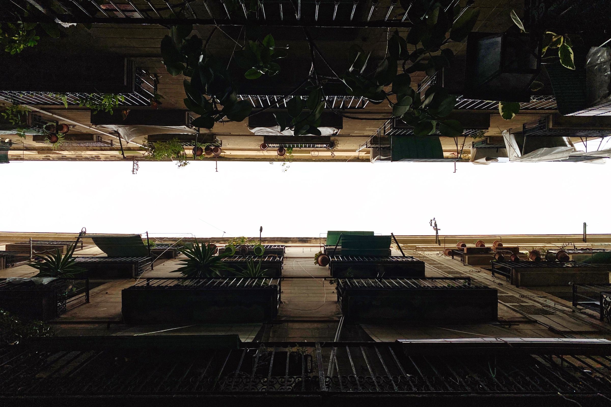
Через 20 минут после выхода начался дождь, и мы укрылись в маленьком уютном веганском кафе (с такими же маленькими порциями).
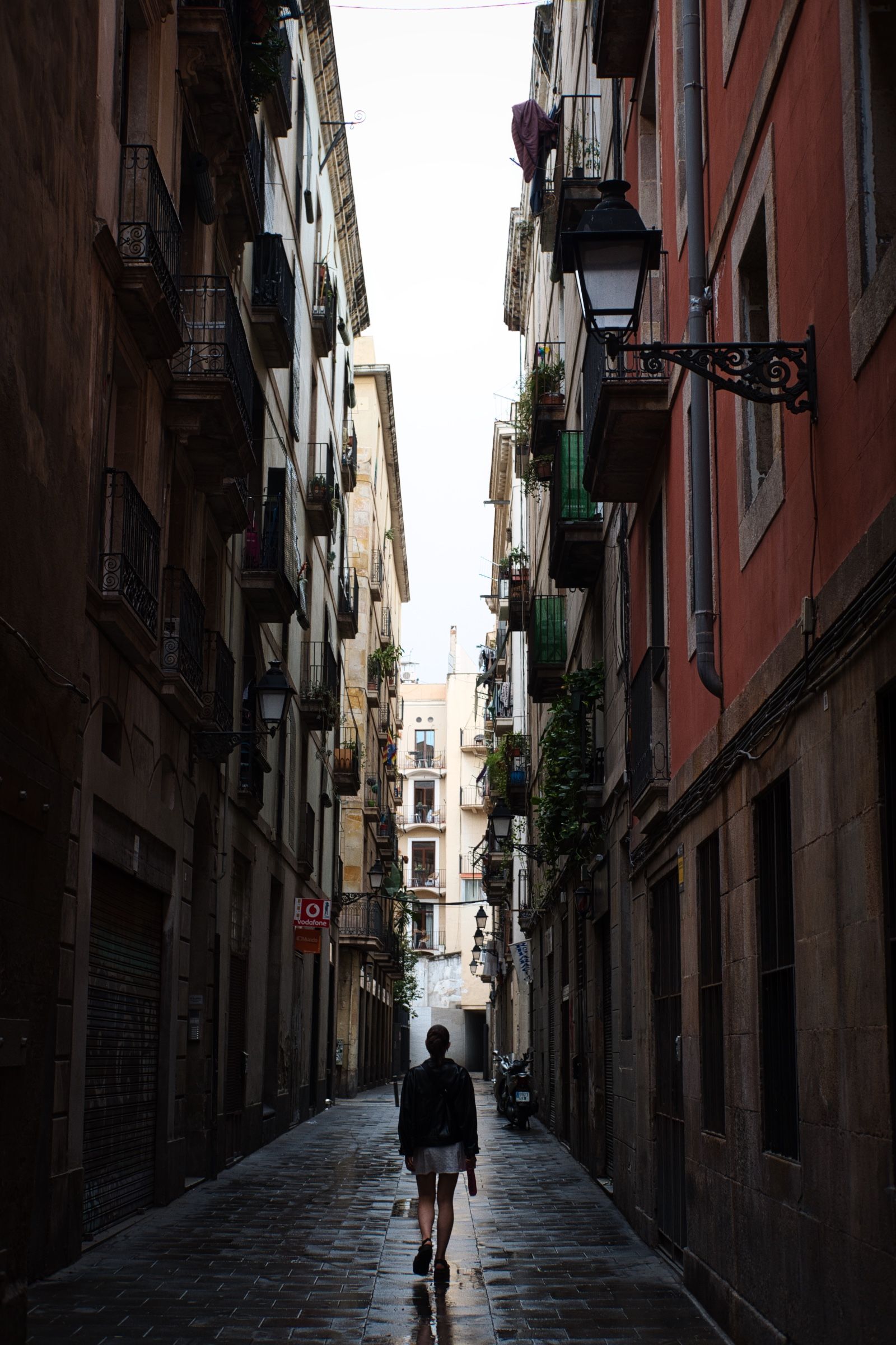
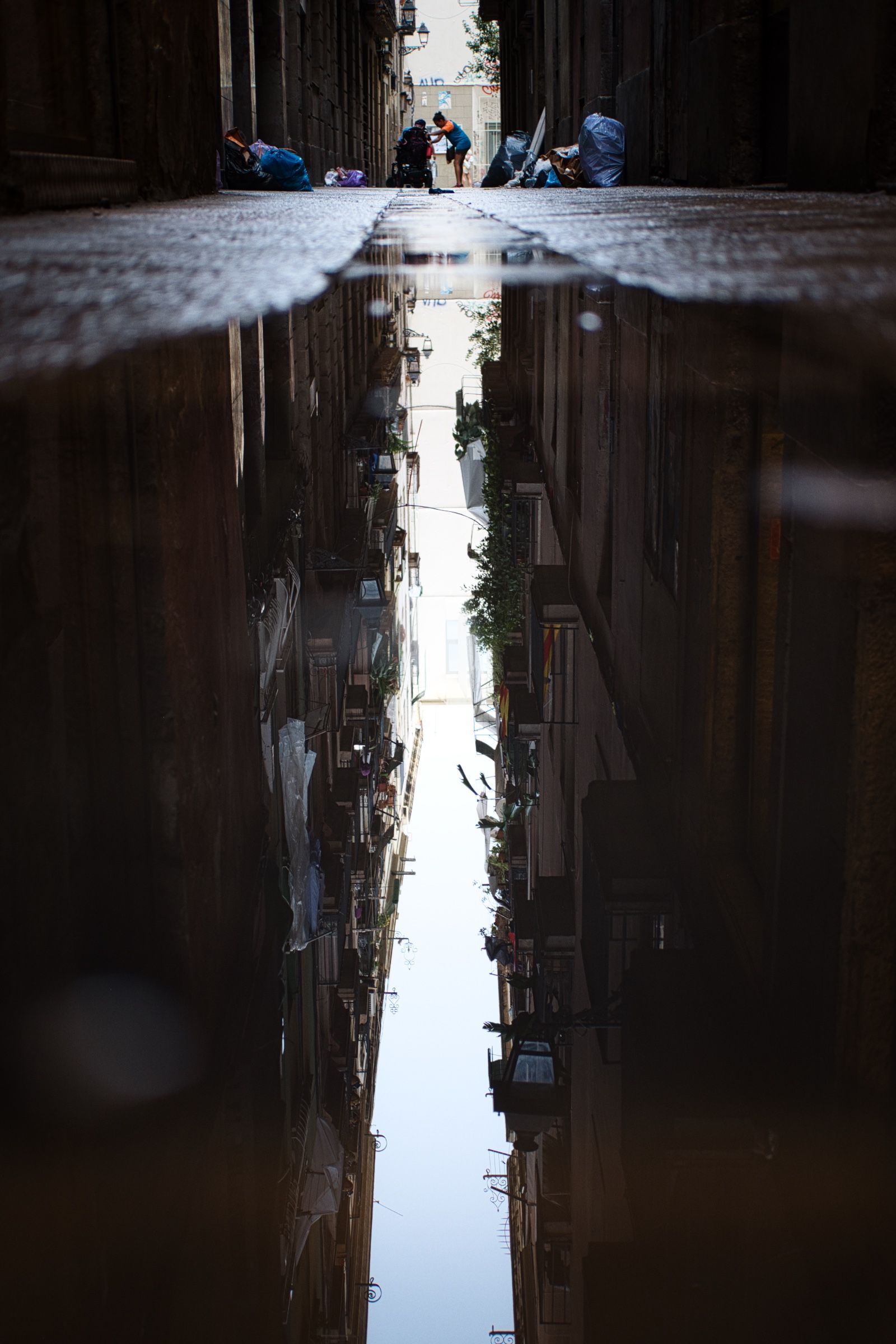
После дождя мы продолжили... Знаете, что самое клевое в дожде? Отвечаю – на улицах гораздо меньше людей, ну и самое главное – лужи идеально подходят для фотографии! 😃

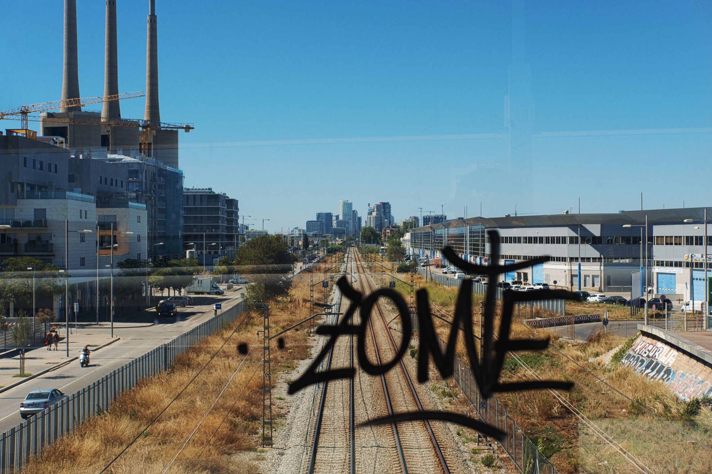
Новый день, новые приключения. Мы решили отклониться от туристических маршрутов. Сели на метро и направились на северо-восток города. Небольшая прогулка через промышленную зону (ага, мы точно знаем, как классно провести отпуск 😸), и мы на месте.
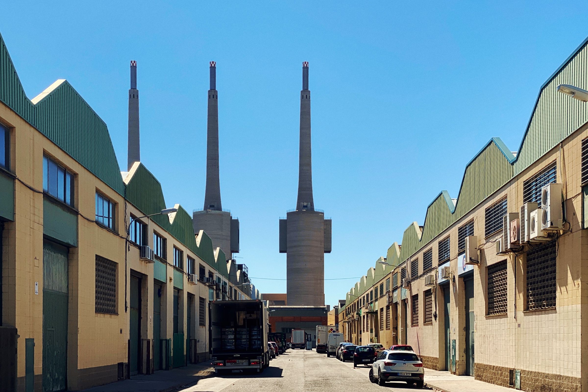
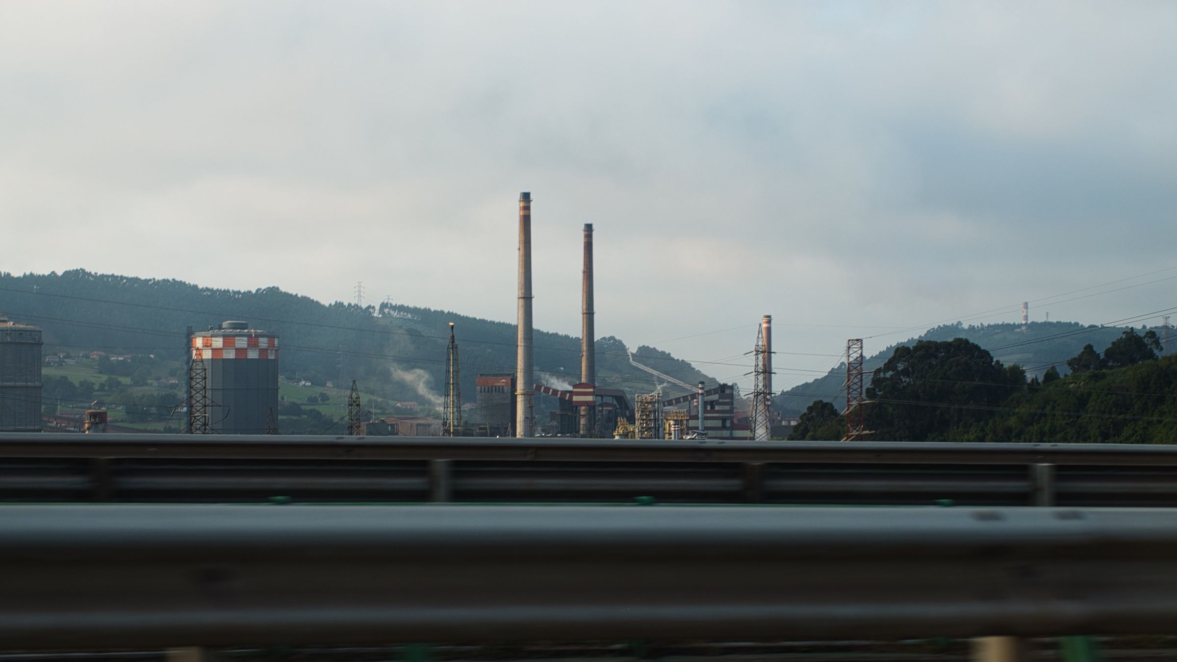
Место называется Les Tres Xemeneies, что в переводе означает «три трубы» (довольно оригинально). Эти почти-что 200-метровые трубы – часть бывшей теплоэлектростанции, построенной в 1970-х и закрытой в 2011 году. Благодаря местным жителям, они были спасены от сноса.
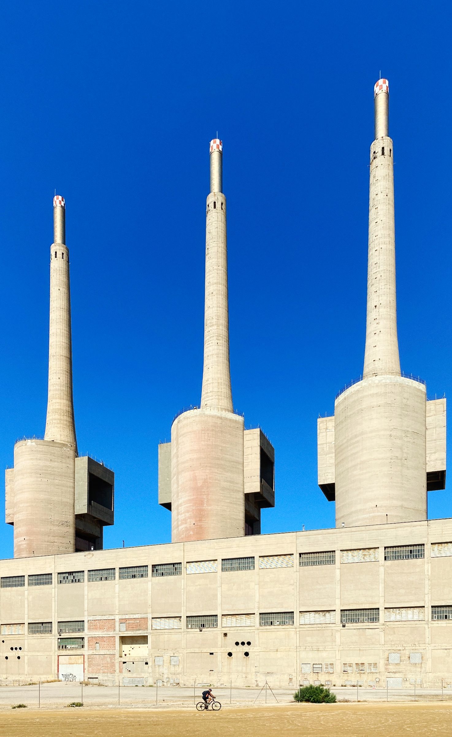
Но, честно говоря, история завода довольно противоречива. В 70-х годах местные жители были против его строительства, и не нравился им не только его внешний вид 🙃, но и экологические последствия от работающего завода. Но за все эти годы они привыкли к нему, и трубы стали своего рода визитной карточкой всего района, видимые за много километров вокруг. Именно поэтому в конечном итоге их и спасли от сноса.

Мы вернулись в отель на пару часов, чтобы подождать, пока спадет жара, а затем отправились к знаменитой Sagrada Família. Но как и ожидалось, там были просто толпы людей, да и целиком здание с земли рассмотреть довольно сложно. Так что мы решили не тратить время впустую и пошли прямиком к лучшему виду на город!
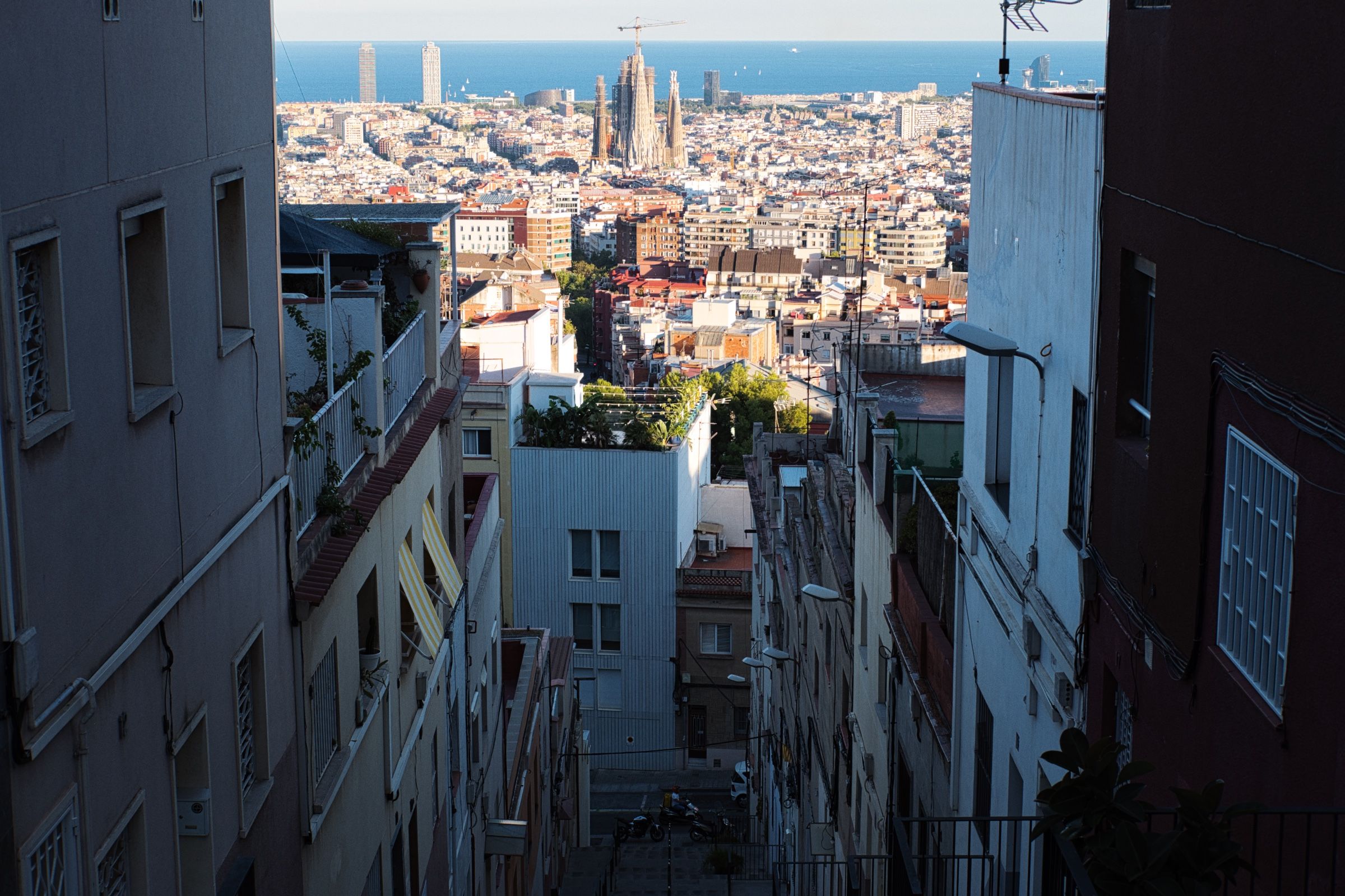
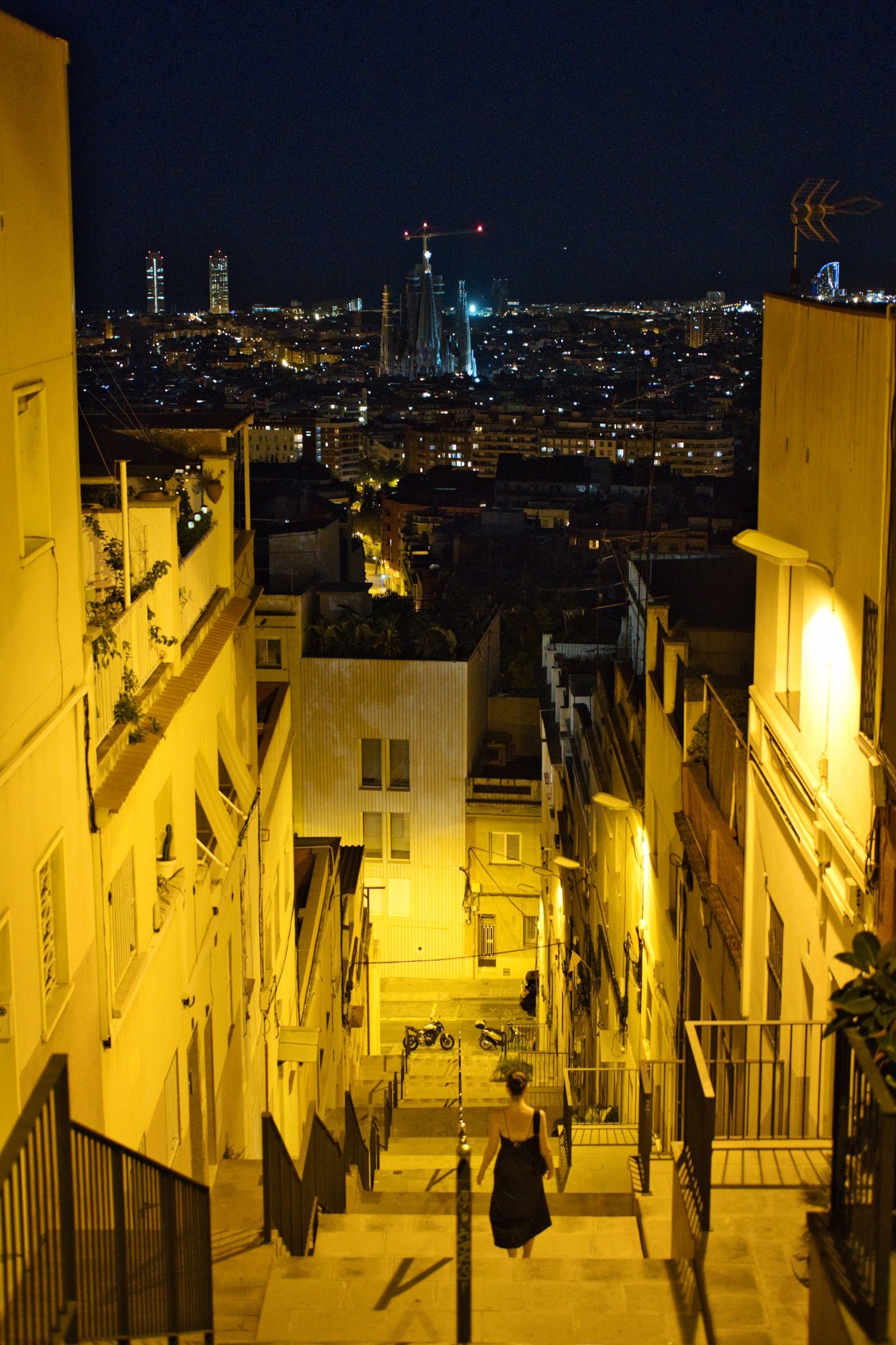
Мы направились на холм Turó de la Rovira, на вершине которого остался старый бункер со времен Гражданской войны в Испании, и откуда открывается просто идеальный вид на весь город!
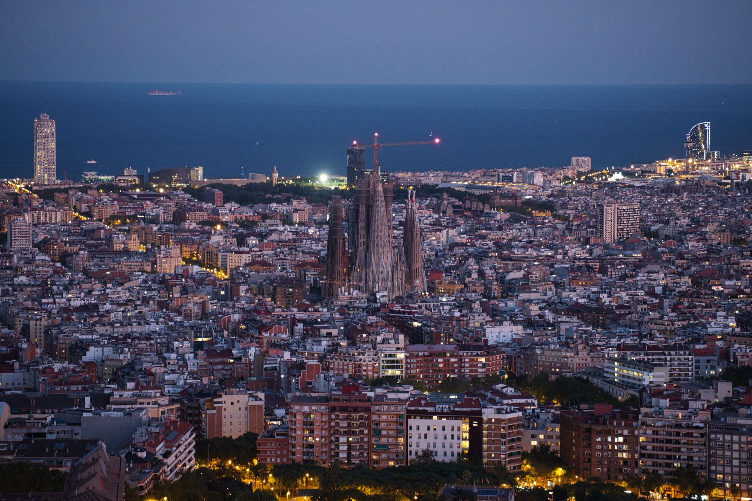
Виды оттуда действительно невероятные, поэтому мы провели остаток дня там.

Когда стало совсем темно, мы решили спуститься вниз и вернуться в отель. Завтра важный день – первый день большого путешествия!
Первый день за рулем
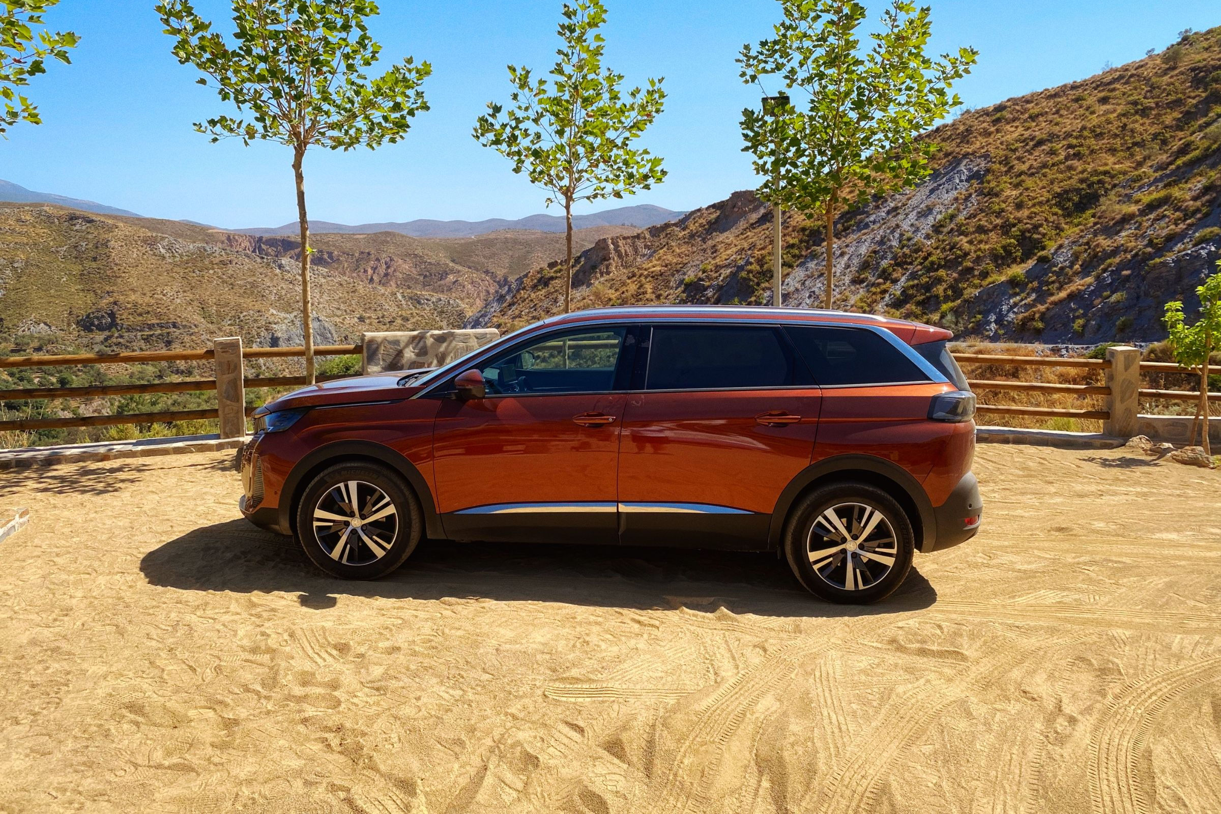
Обратно в аэропорт, чтобы забрать машину. Изначально это должен был бы быть автомобиль класса Polo, но удача была на нашей стороне, и нам дали SUV. Ну а мы и не возражали 😊.

Что первое нужно сделать перед тем, как отправиться в путь? Правильно, закупиться водой, едой и т.д. А еще нужен туристический газ (в этот раз мы путешествовали с горелкой, так что больше никакого дрянного кофе с заправок). Первая остановка – Decathlon и supermercado.
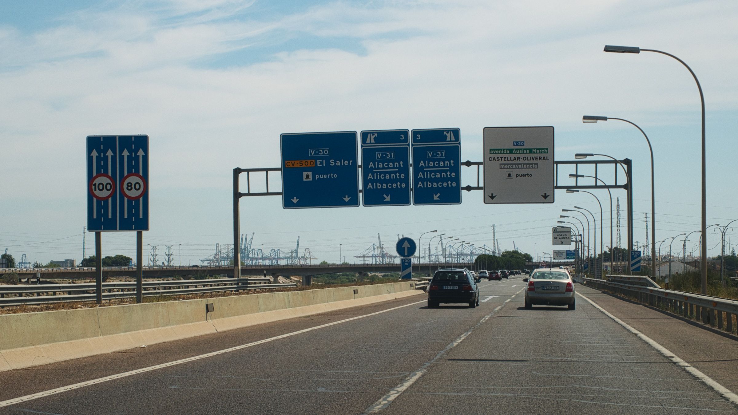
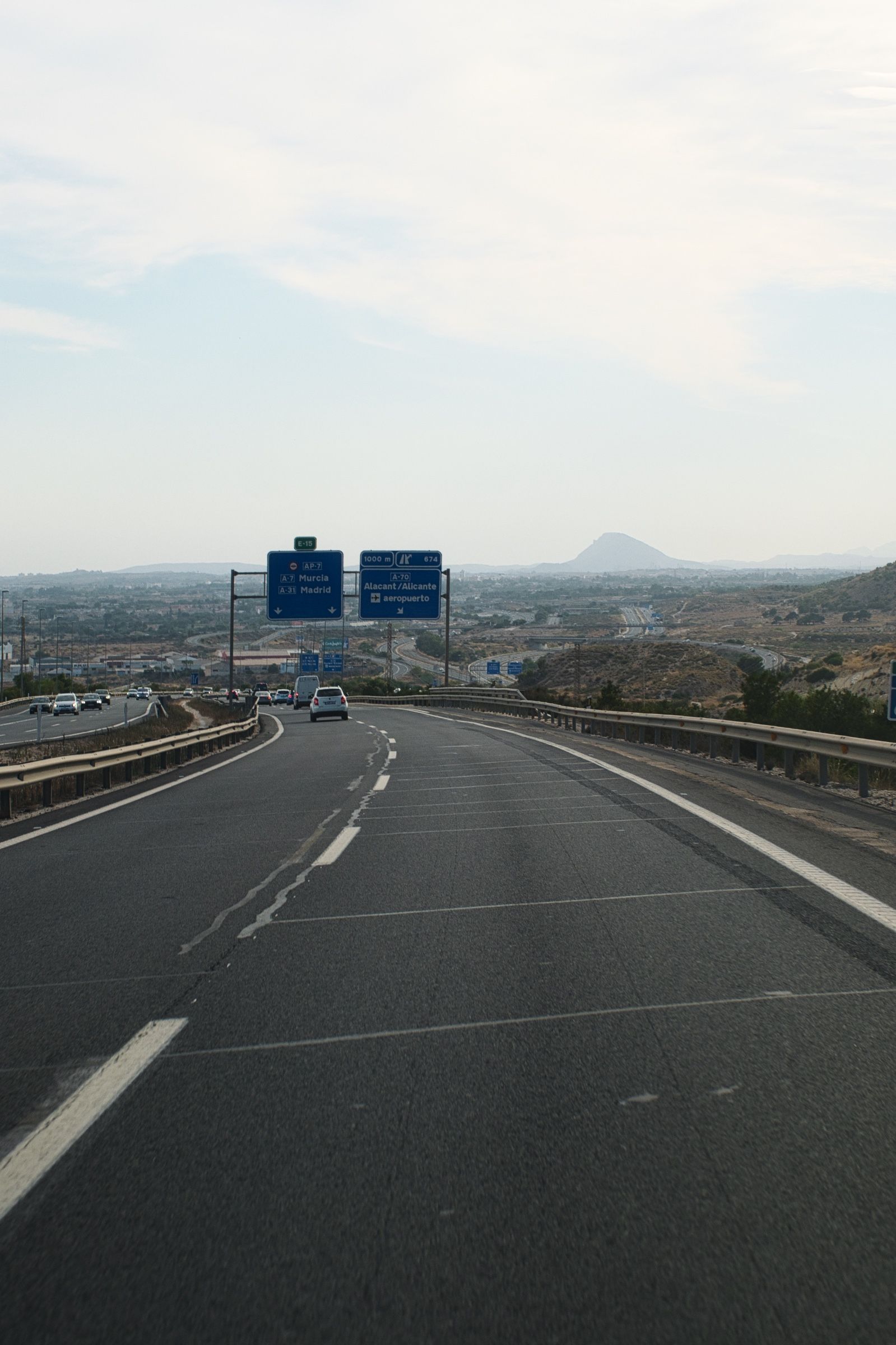
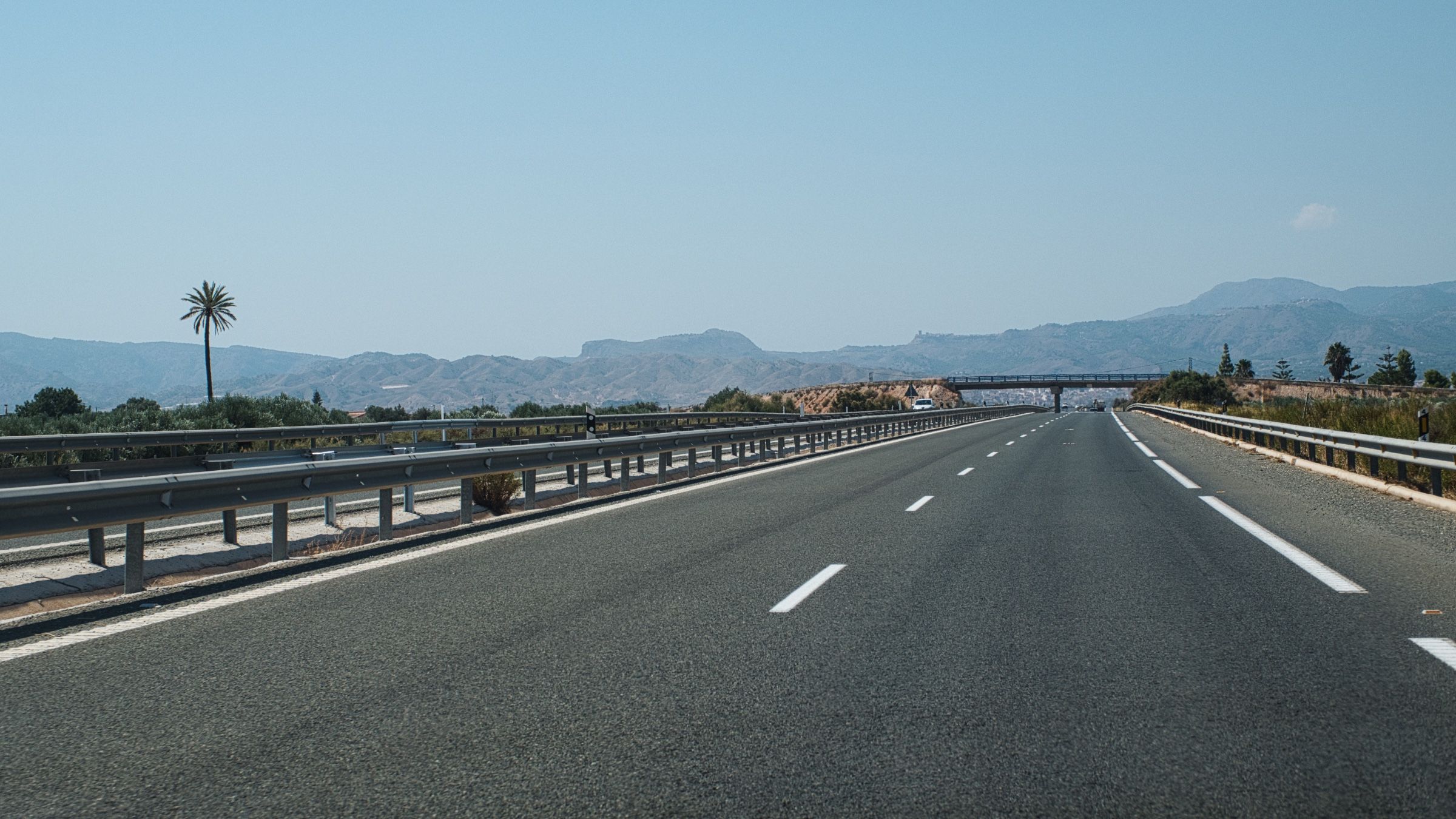
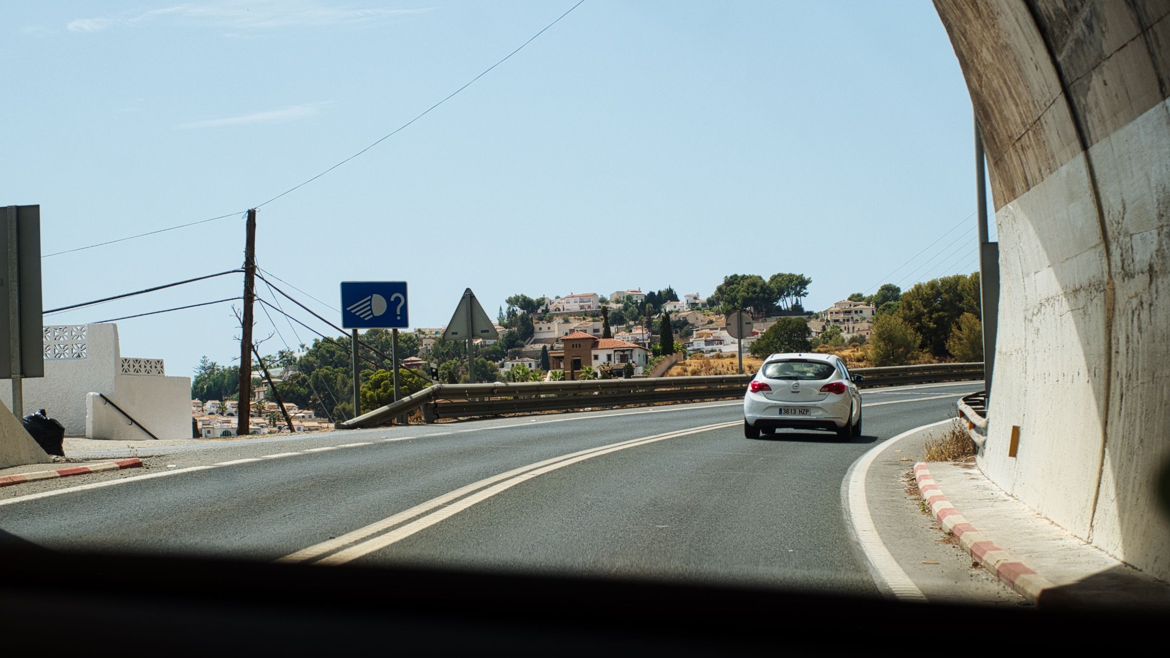
Я привыкал к машине и пытался одновременно построить идеальный маршрут. Конечно я должен был спланировать все это заранее, но я как всегда все делаю в последний момент 😀. Но я хотя бы сэкономлю время вам. Настало время немного погрузиться в систему дорог Испании. Это не только позволит вам избежать платных дорог, но и улучшит впечатления от путешествия.

Основные типы дорог в Испании:
Autopistas / Autovías de peaje – автомагистрали, обычно это платные дороги, обозначаются буквами AP, за которыми следует номер дороги. Знак – белые буквы на синем фоне. Autopistas построены по определенным стандартам для наиболее эффективного и безопасного высокоскоростного движения. Этот тип дорог всегда избегает прохода через города, поселки или деревни. Максимальная скорость на них – 120 км/ч.
AP-7Autovías – похожи на предыдущие, но только бесплатные. У них схожие знаки, только с буквой A, за которой следует номер дороги, местные автовии часто имеют вместо буквы A сокращения провинций. Максимальная скорость – 120 км/ч.
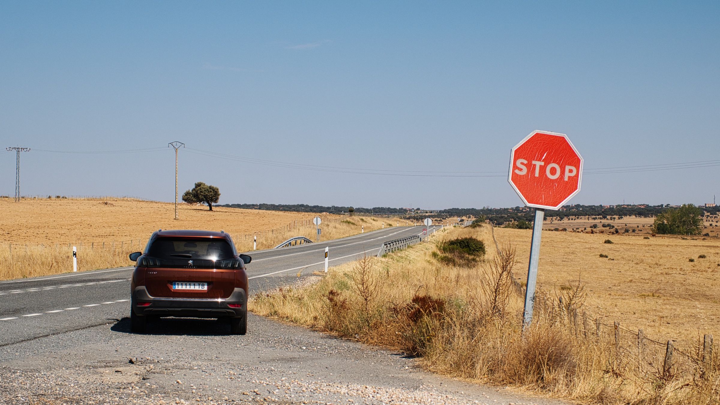
A-66C-32Carreteras nacionales – национальные дороги. Они обозначаются буквой N, за которой следует номер дороги. Белые буквы на красном фоне. Национальные дороги бесплатные и могут иметь две полосы движения или всего одну. Они могут проходить через города, поселки или деревни. Основу национальных дорог составляют 6 дорог, которые радиально расходятся по часовой стрелке от площади Puerta del Sol в Мадриде. Эти дороги делят Испанию на 6 зон, каждая из которых имеет номер дороги, ограничивающей её слева. Каждая последующая дорога, начинающаяся в определенной зоне, получает номер этой зоны и сохраняет его на протяжении всего своего пути. Максимальная скорость – 90 км/ч. Эти дороги – лучший выбор для путешествия на машине.
N-VIN-630Carreteras comarcales – местные дороги, принадлежащие региону (автономному сообществу / una comunidad). Они обозначаются первой буквой сообщества, к которому принадлежат, за которой следует номер дороги, например, CL для Castilla y León или AS для Asturias. Цвета: черные буквы на оранжевом фоне для главных маршрутов и белые на зеленом для второстепенных. В некоторых регионах есть исключения из цветовой схемы, но не стоит заострять на этом внимание. Максимальная скорость – 90 км/ч, но чаще всего вам придется ехать гораздо медленнее.
CL-624AS-260Carreteras provinciales – почти такие же, как и предыдущий тип, но принадлежат меньшим административным единицам (провинции / una provincia). Знак – черные буквы на желтом фоне. Обычно это очень маленькие местные дороги.
GR-3201Carreteras europeas – эти дороги не являются частью испанской дорожной системы, но принадлежат сети транснациональных дорог в Европе. В Испании только autopistas, autovías и national roads могут быть E-маршрутами.
E-15
В целом вот и всё, что нужно знать о дорожной сети Испании. А теперь давайте вернемся к нашему маршруту.
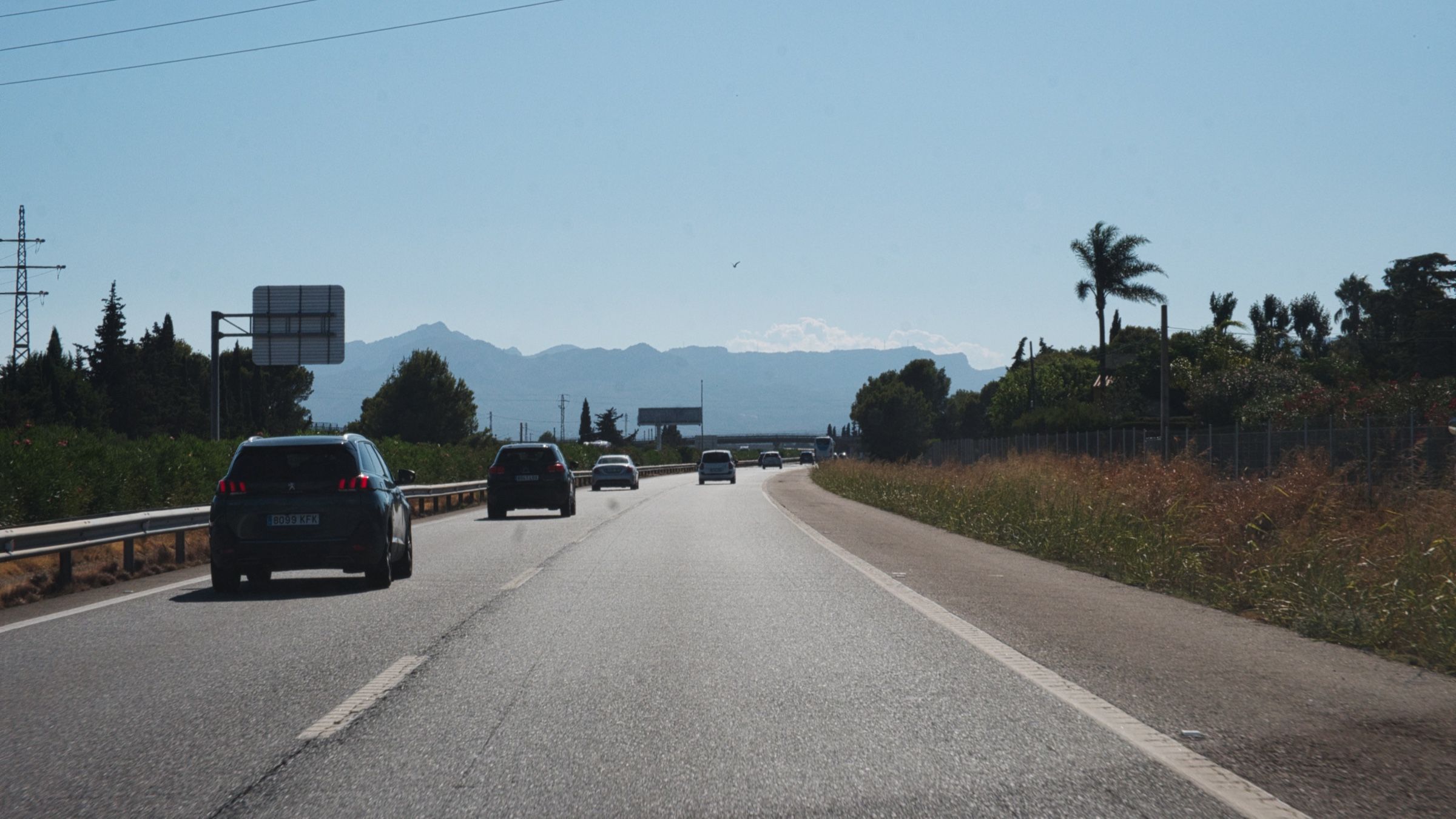
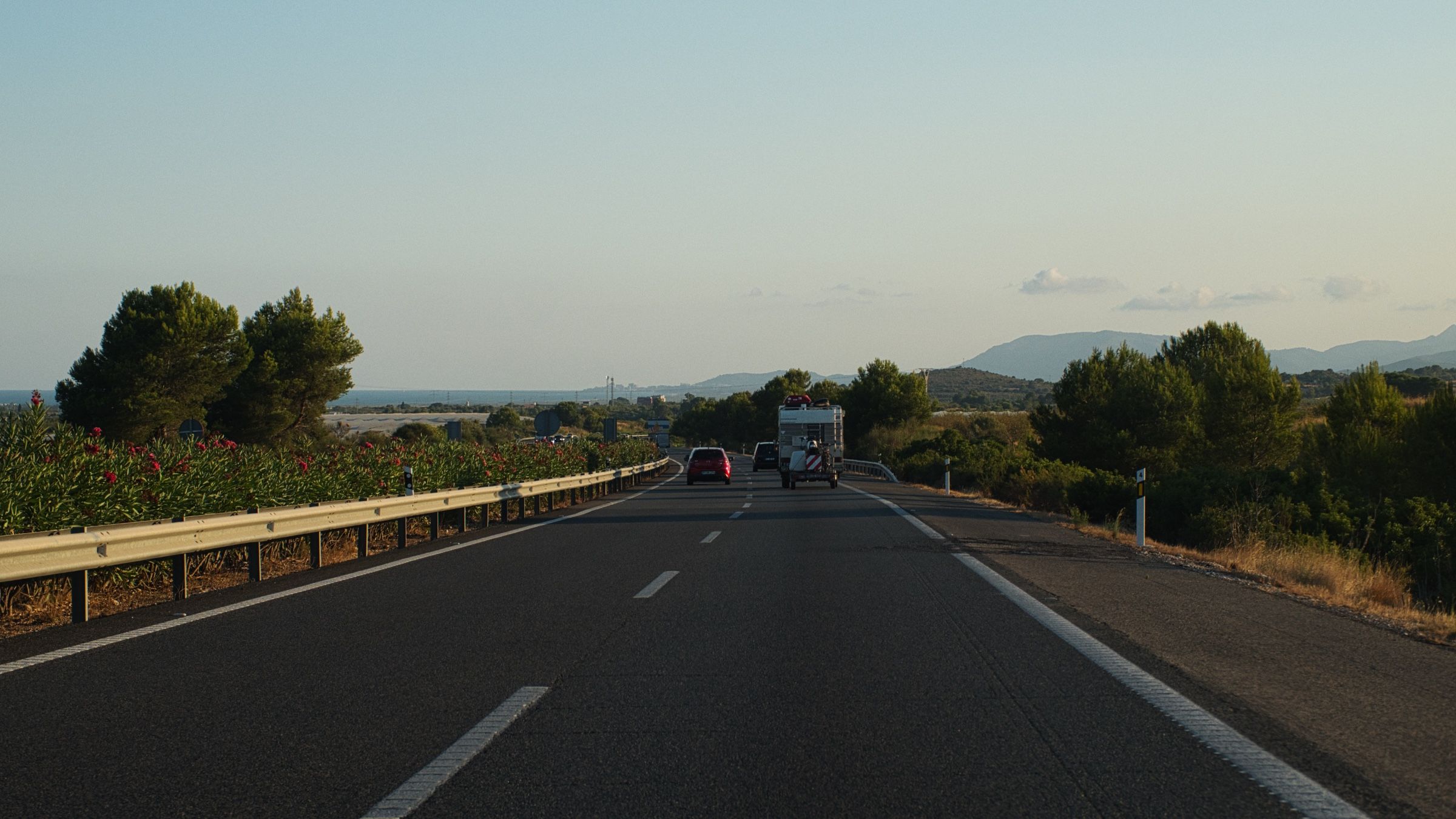
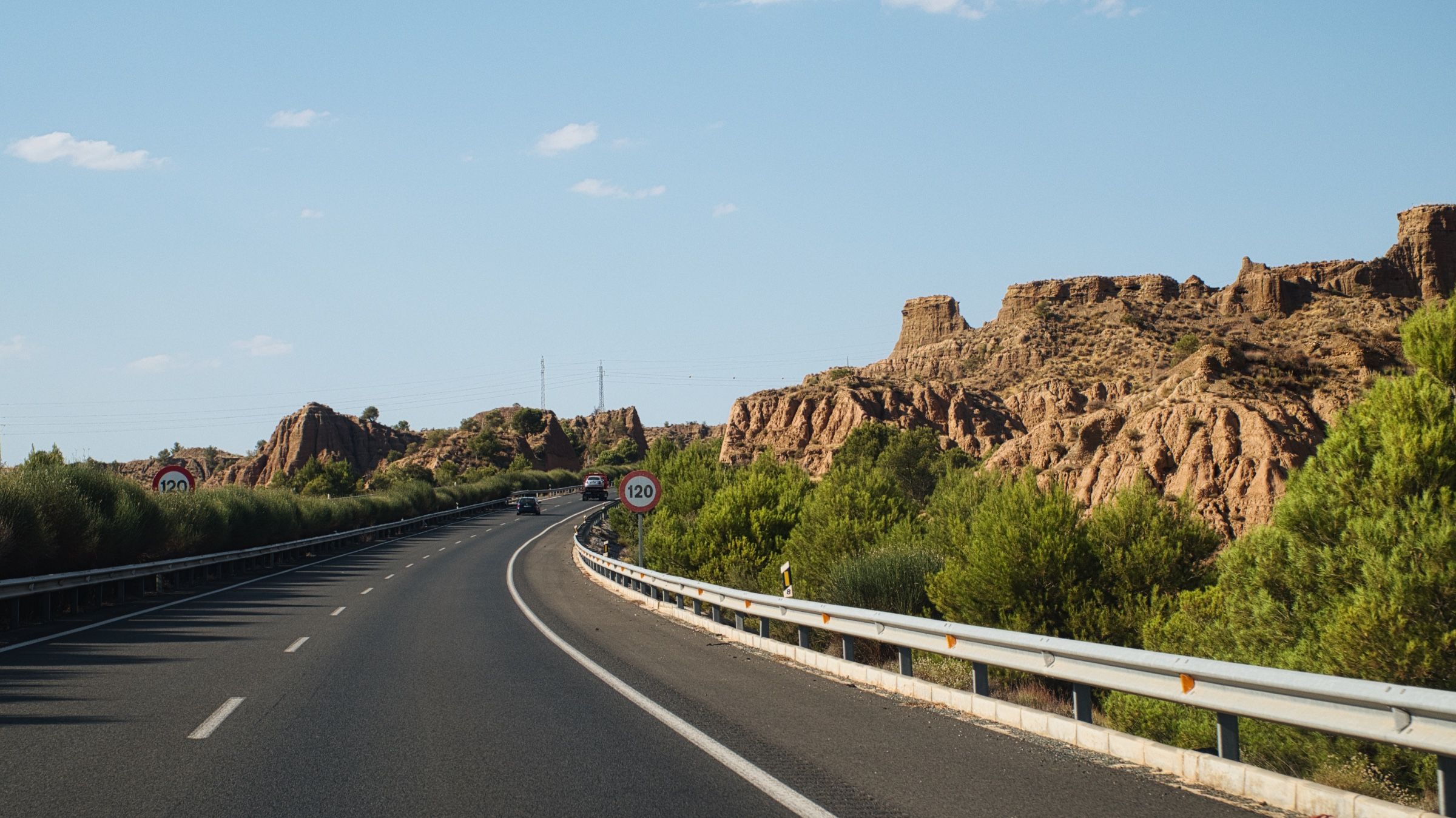
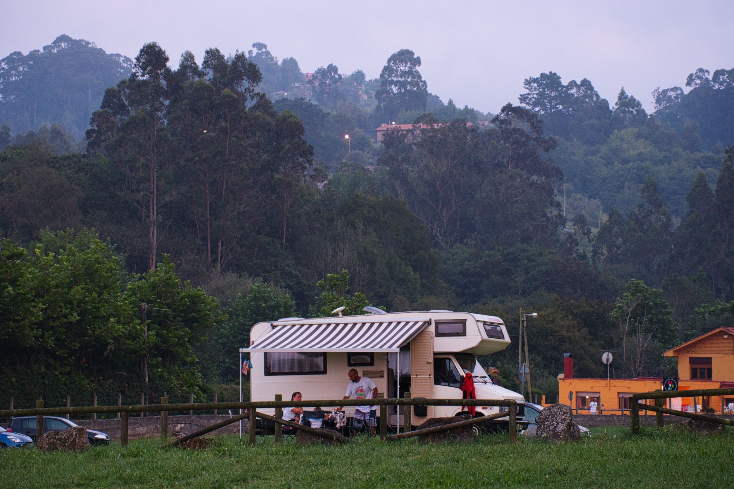
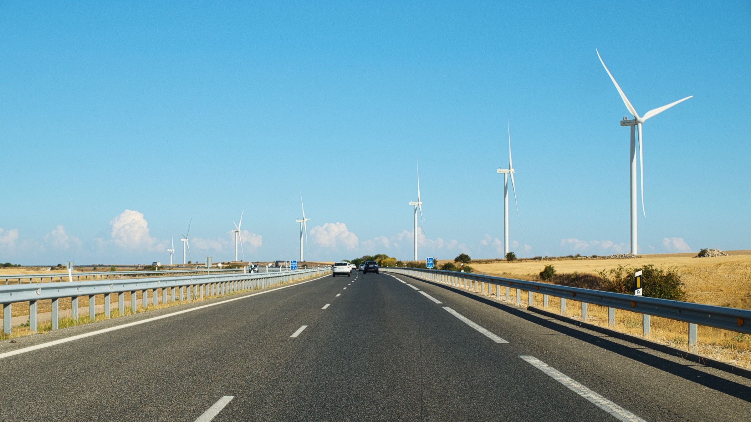
Уже было давно за полдень, так что нам нужно было поспешить. Мы решили провести эту ночь в кемпинге, но до него было ещё больше 300 км. Поэтому мы поехали по скоростной дороге. В любом случае, всё было в новинку, и можно было наслаждаться пейзажами даже с автомагистрали.
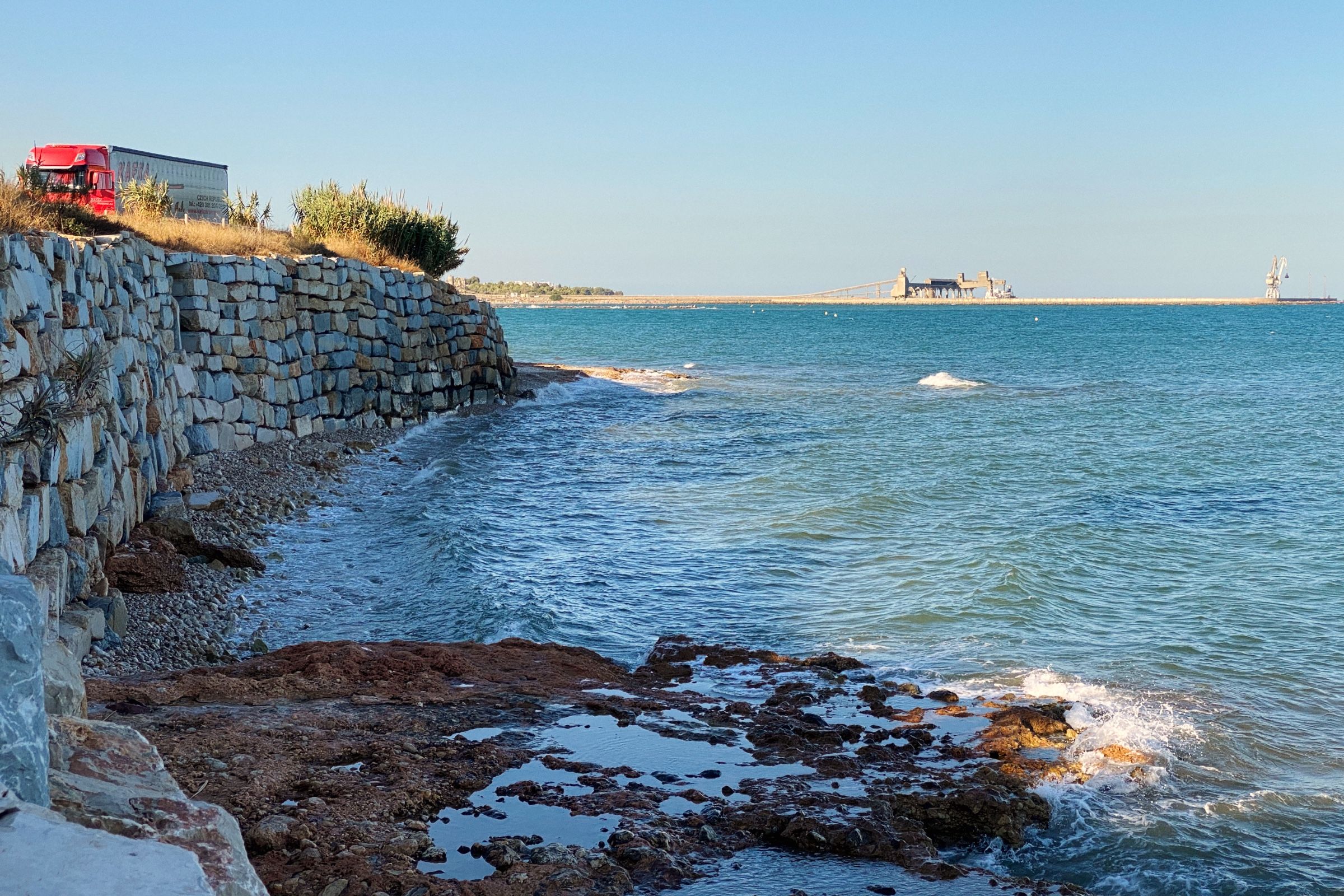
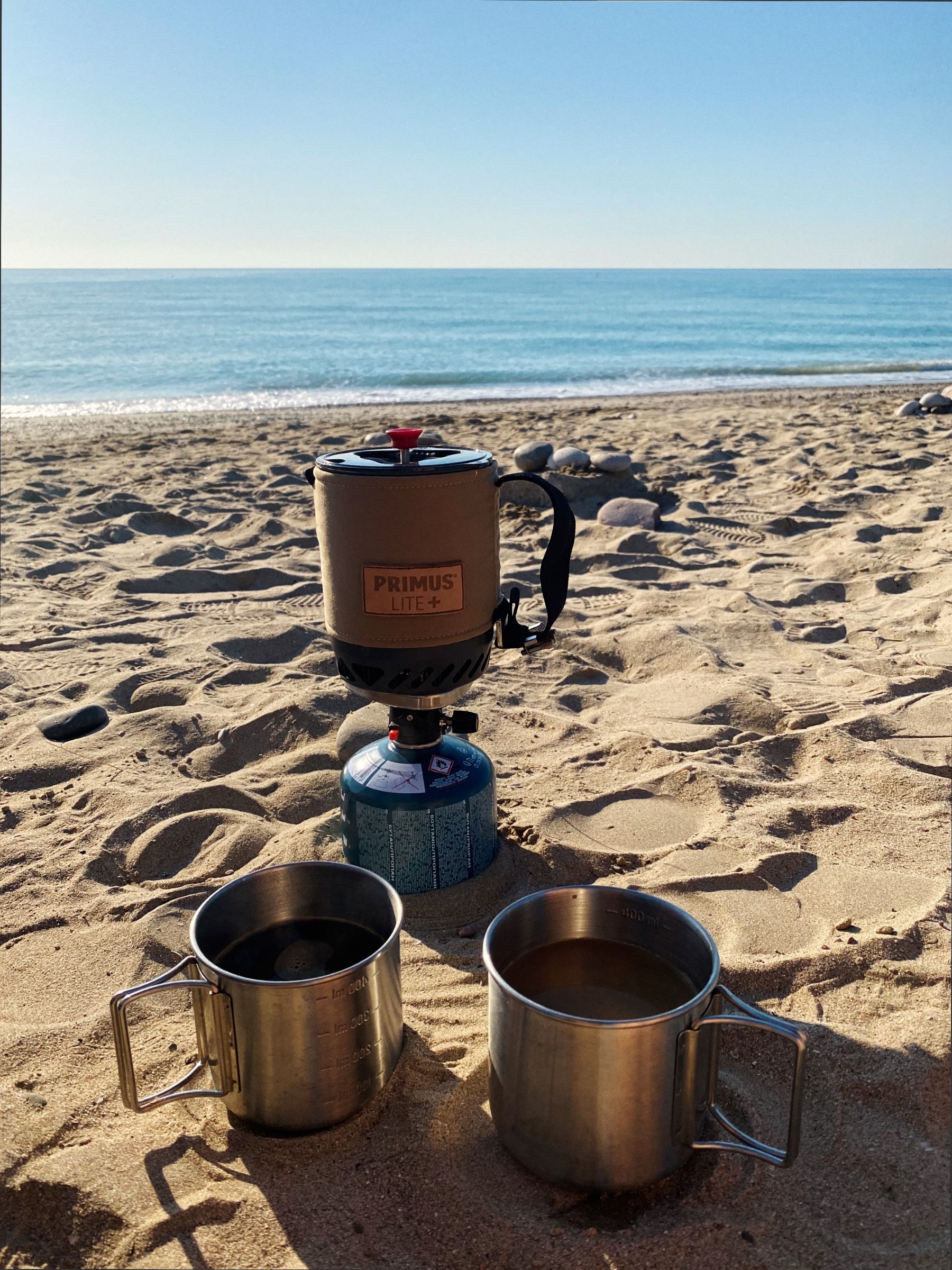
Окей... стало немного скучно, поэтому мы свернули на маленькую N-340 и остановились на кофе. А благодаря фирменной газовой горелке Primus (не реклама), это теперь можно было сделать еще и с прекрасным видом на море!

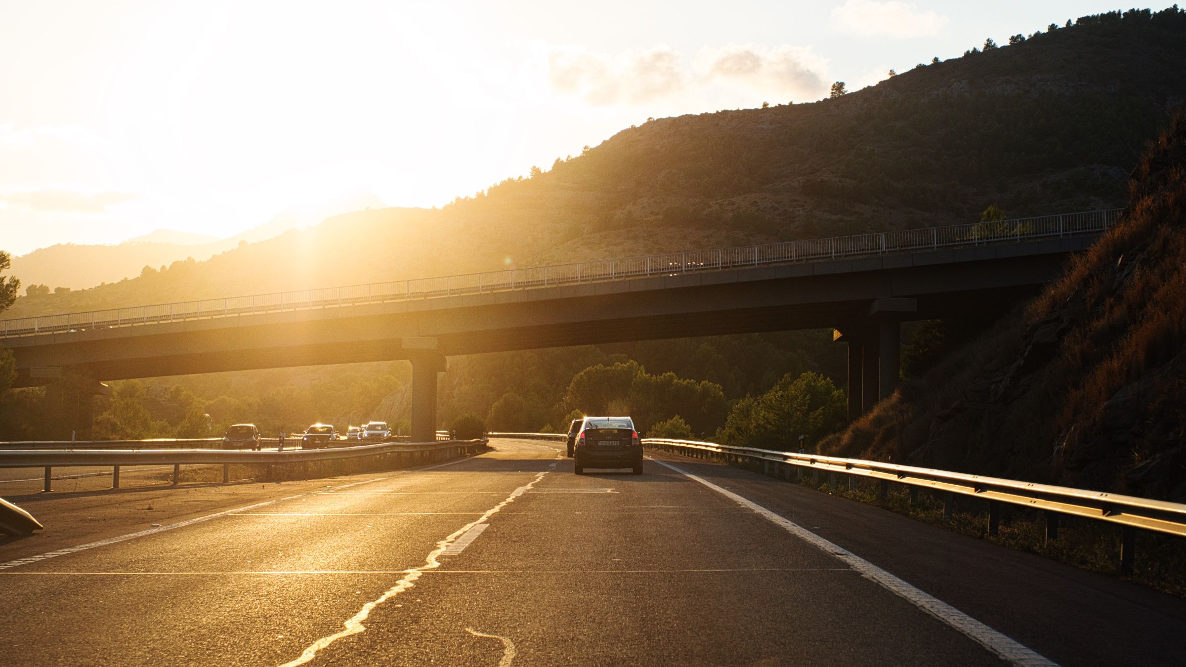
После короткой паузы мы продолжили. Проехали по N-340 еще около получаса, а затем решили снова выбрать более быструю дорогу и вернулись на AP-7.
Солнце уже садилось, а до места еще было достаточно далеко, и мы не хотели приехать в кемпинг слишком поздно. Плюс мы никогда еще не останавливались в кемпингах до этого, поэтому было бы лучше добраться туда до заката.
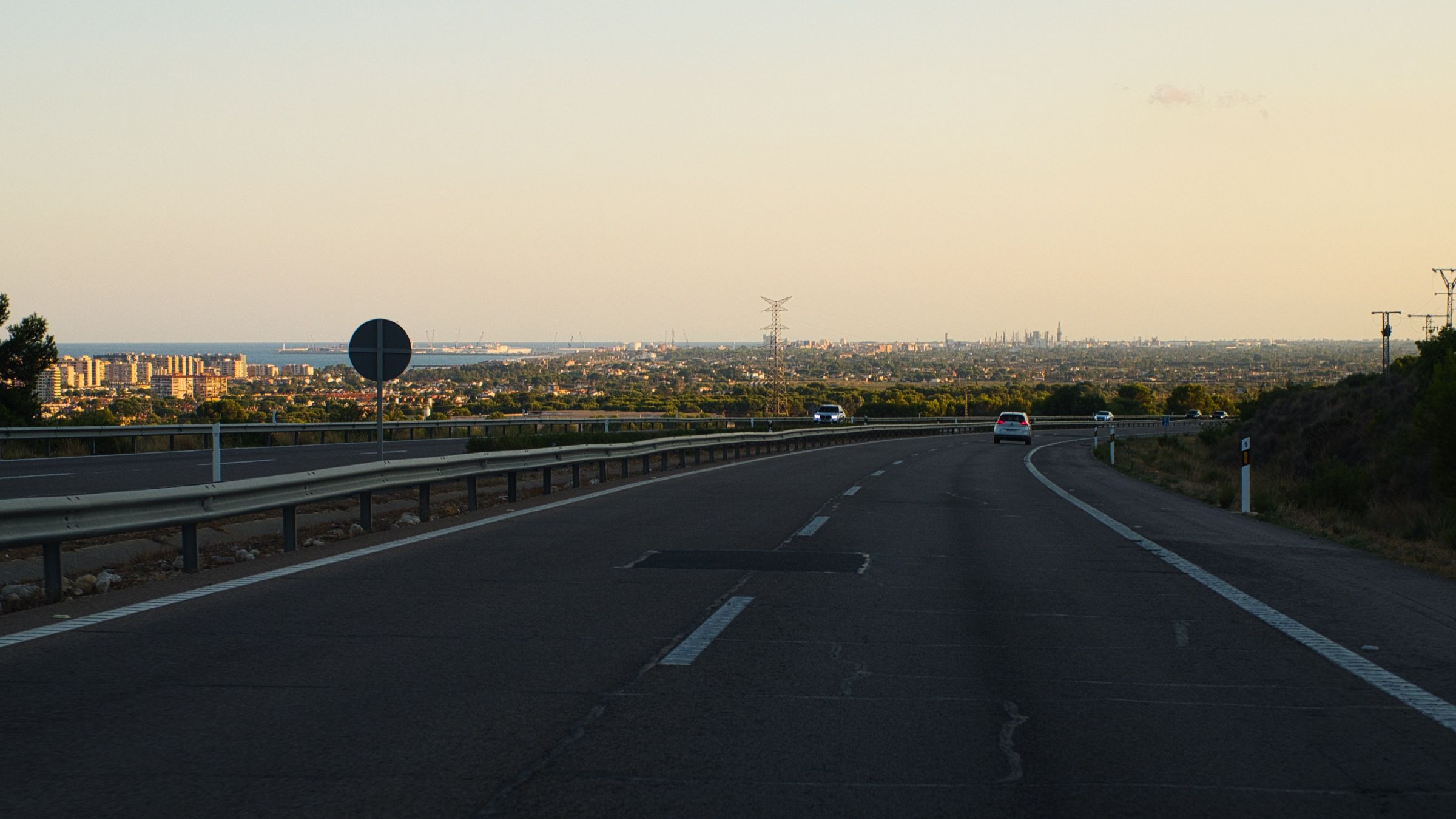
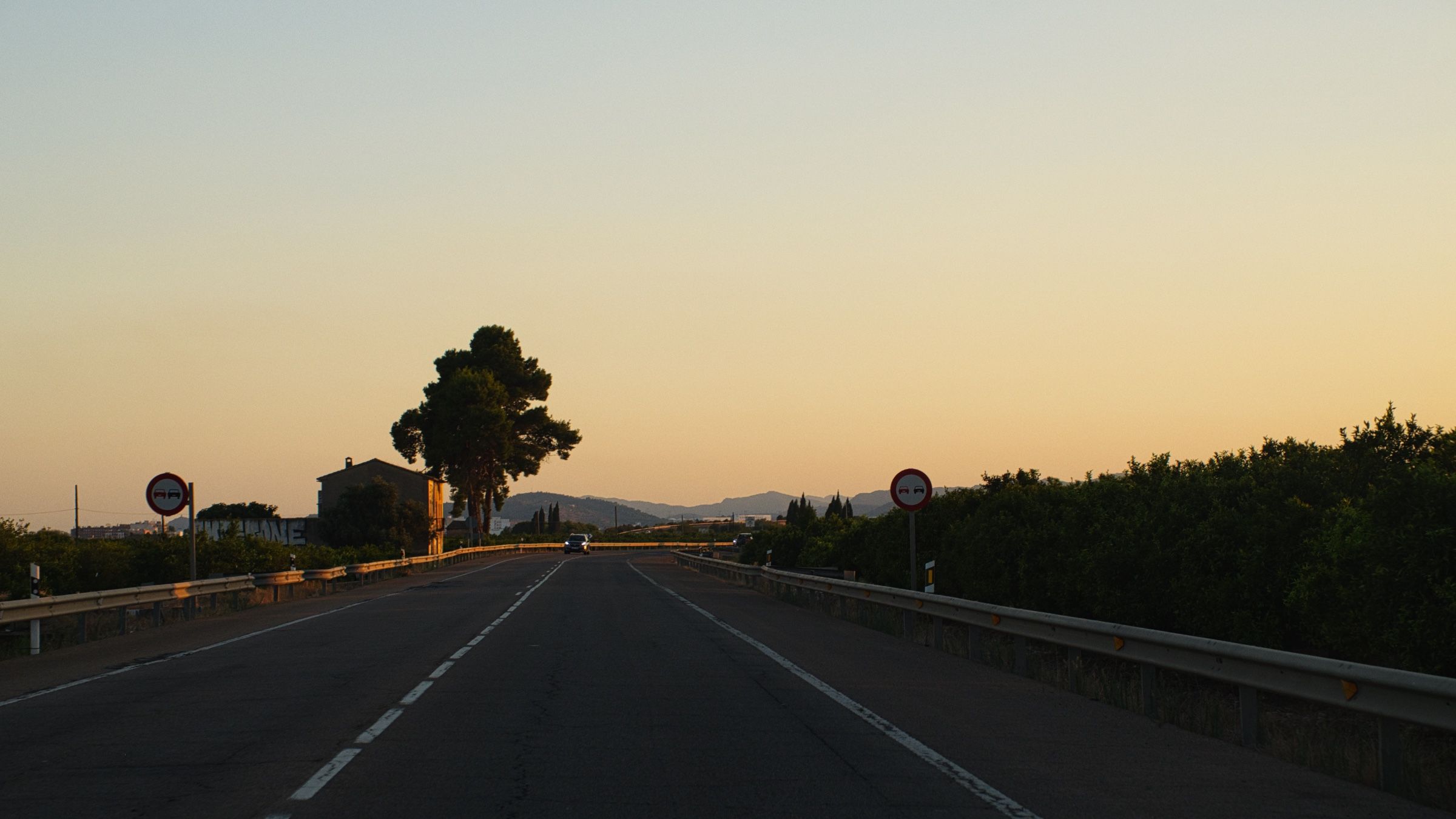
Практически на месте. Мы свернули на маленькую проселочную дорогу. Солнце только что село, но кемпинг был всего в нескольких километрах. Как раз вовремя!
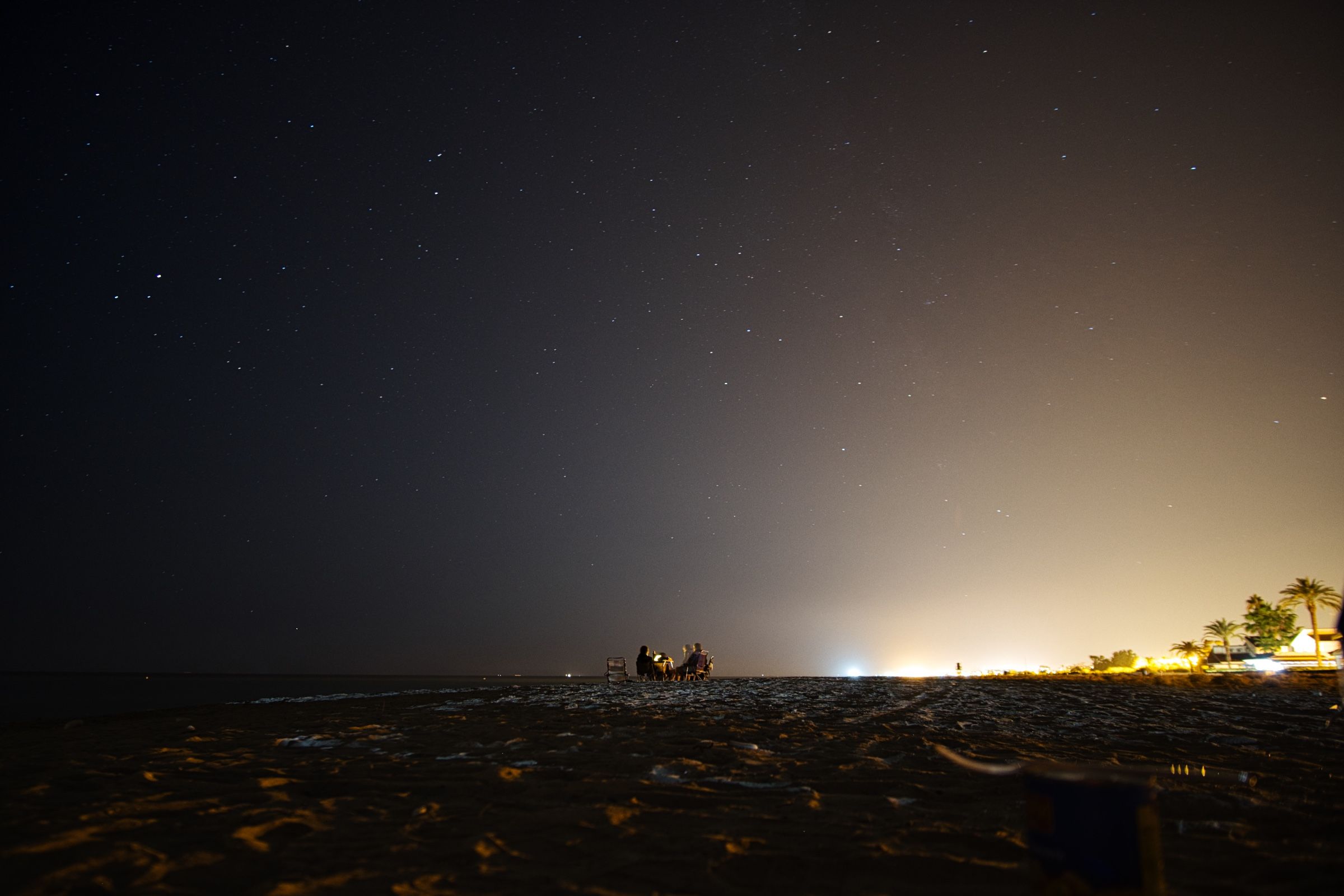
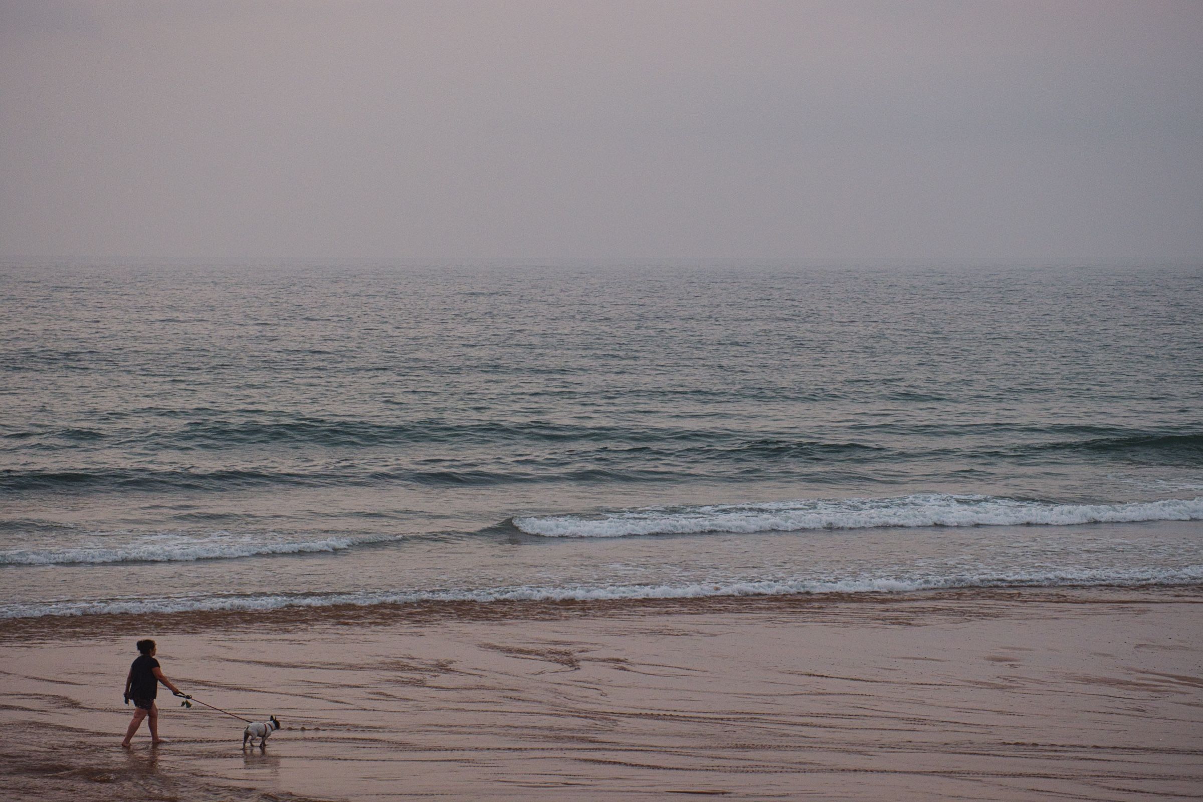
Мы быстро поставили палатку при свете фар и пошли на пляж. Море, тёплый бриз, бутылка вина (а может и две) и миллиарды звёзд над головой. Это был заслуженный отдых после долгой дороги и завершение первого дня нашего путешествия.
Хорошее утро начинается с кофе, а лучшее утро – с кофе на берегу моря. И это было идеальное начало дня!

Валенсия
Поскольку кемпинг был всего в нескольких километрах от Валенсии, этот город и стал нашей первой целью в тот день.
Мы нашли бесплатную парковку недалеко от центра города и отправились на прогулку.

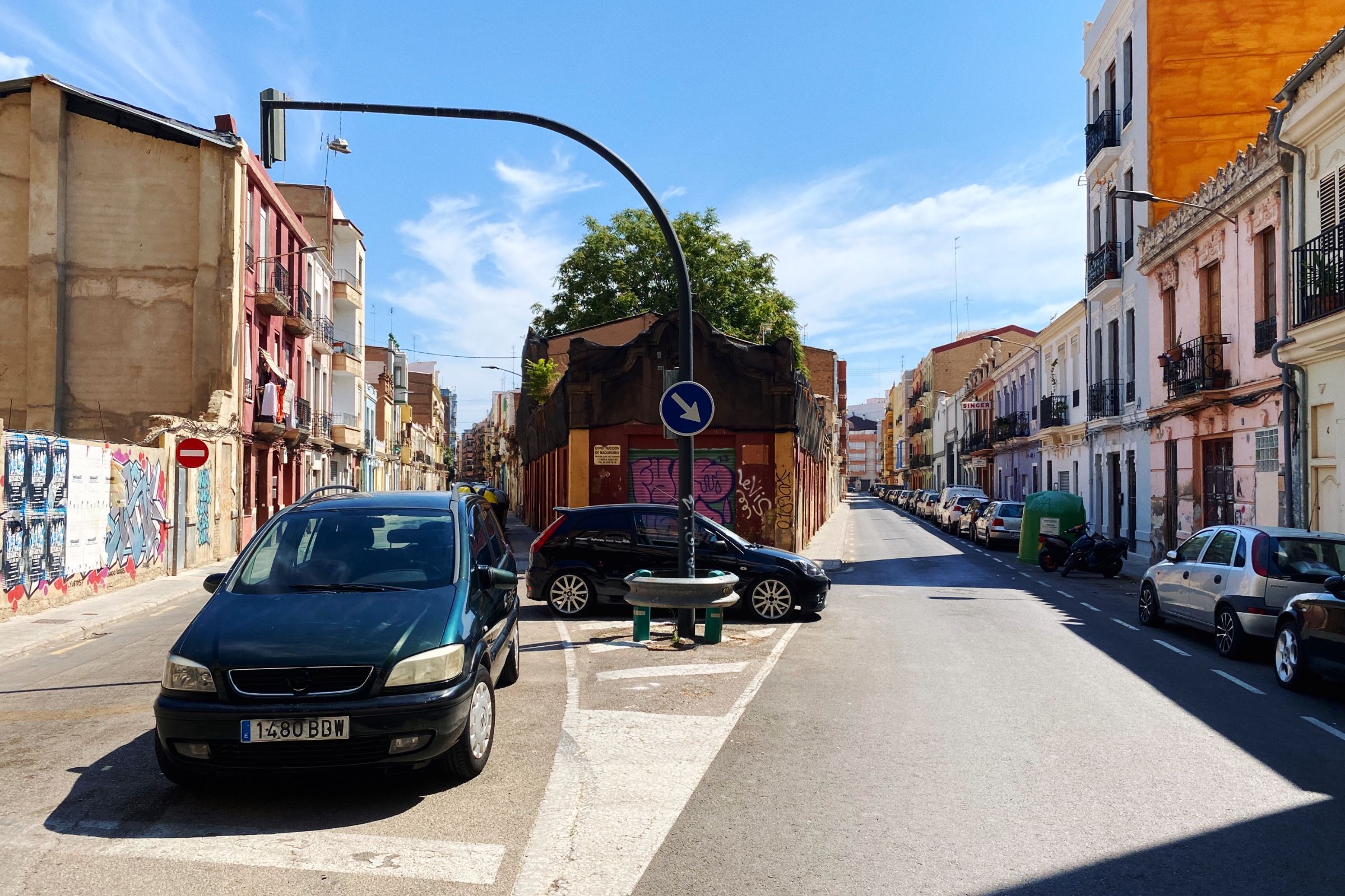
Ближе к центру города, уже начала появляться и более интересная архитектура и в целом все становилось более ухоженным.
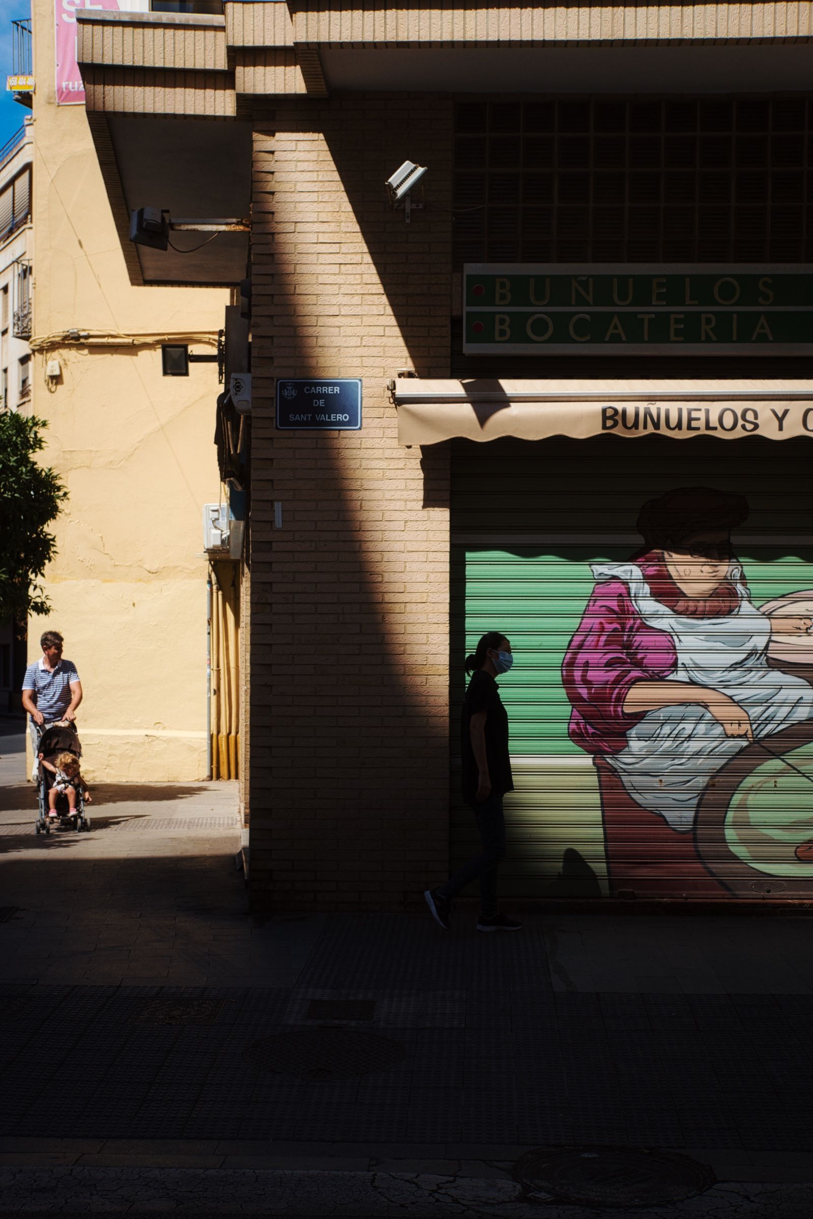
Когда сидишь в машине с кондиционером, легко забыть о невыносимой жаре снаружи. А в тот день было просто адски жарко 🥵, так что даже такая короткая прогулка оказалась настоящим испытанием.


Впереди нас ждал еще один довольно долгий переезд, поэтому мы решили не задерживаться в Валенсии и находившись вдоволь по центру мы отправились дальше.
На юг
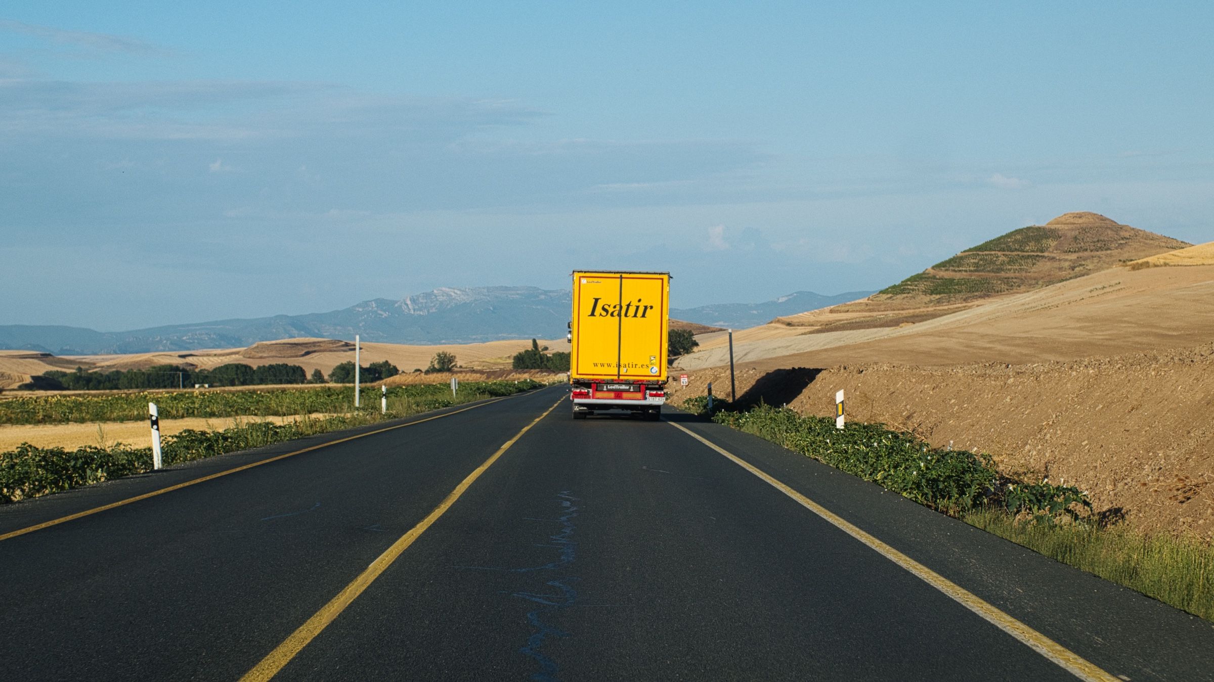
После Валенсии мы продолжили двигаться по направлению на юг.
Первые несколько десятков километров ничего особо и не происходило (если не считать просто потрясающих пейзажей вокруг, конечно) . Мы просто ехали, разговаривали, слушали музыку и пили кофе.

Мы даже сделали попытку искупаться и свернули с магистрали на маленькую крутую дорогу, ведущую к пляжу. Но, как оказалось, эта идея пришла в голову не только нам. Там было настолько много людей, что мы даже не смогли припарковаться. Так что, в следующий раз...
Мы заехали пообедали, а затем снова вернулись на магистраль.
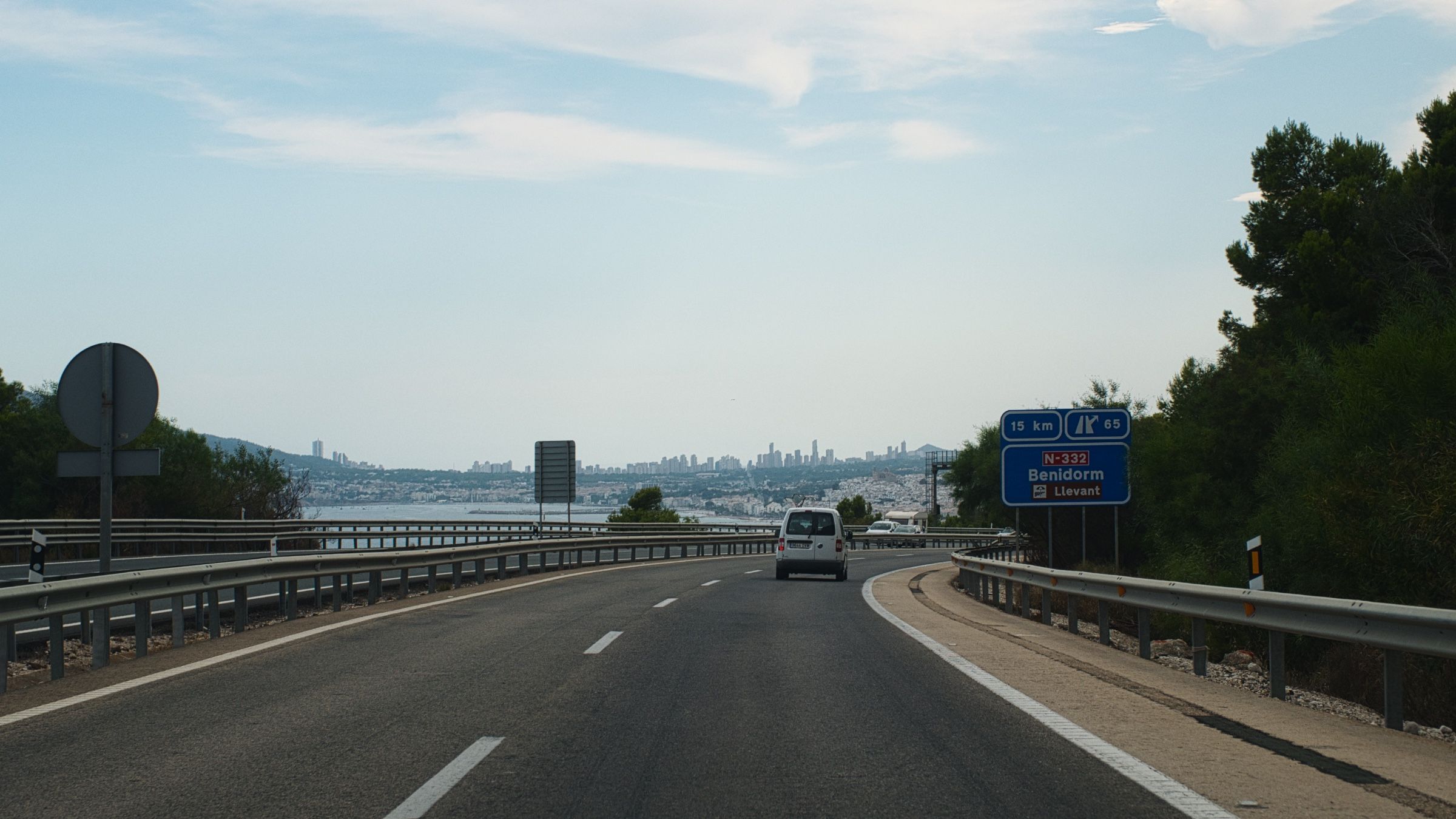
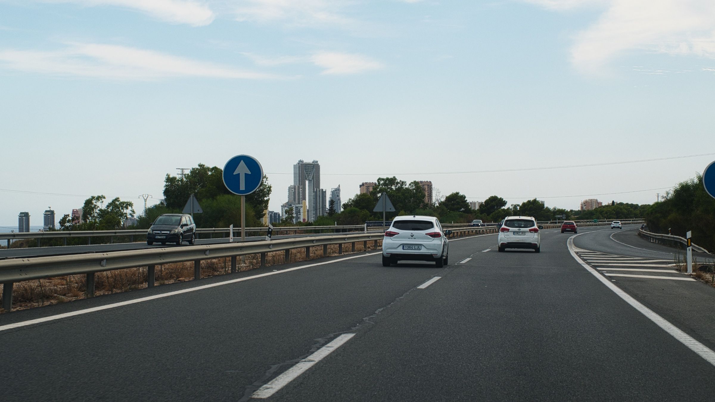
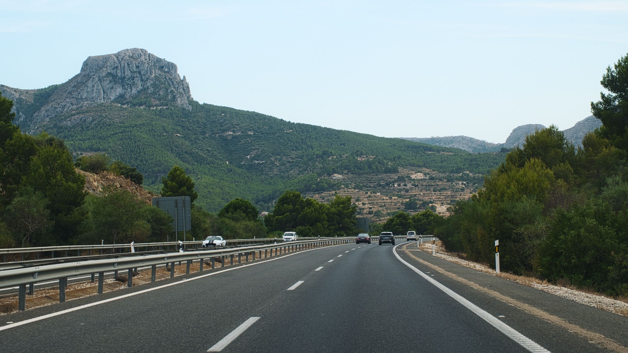
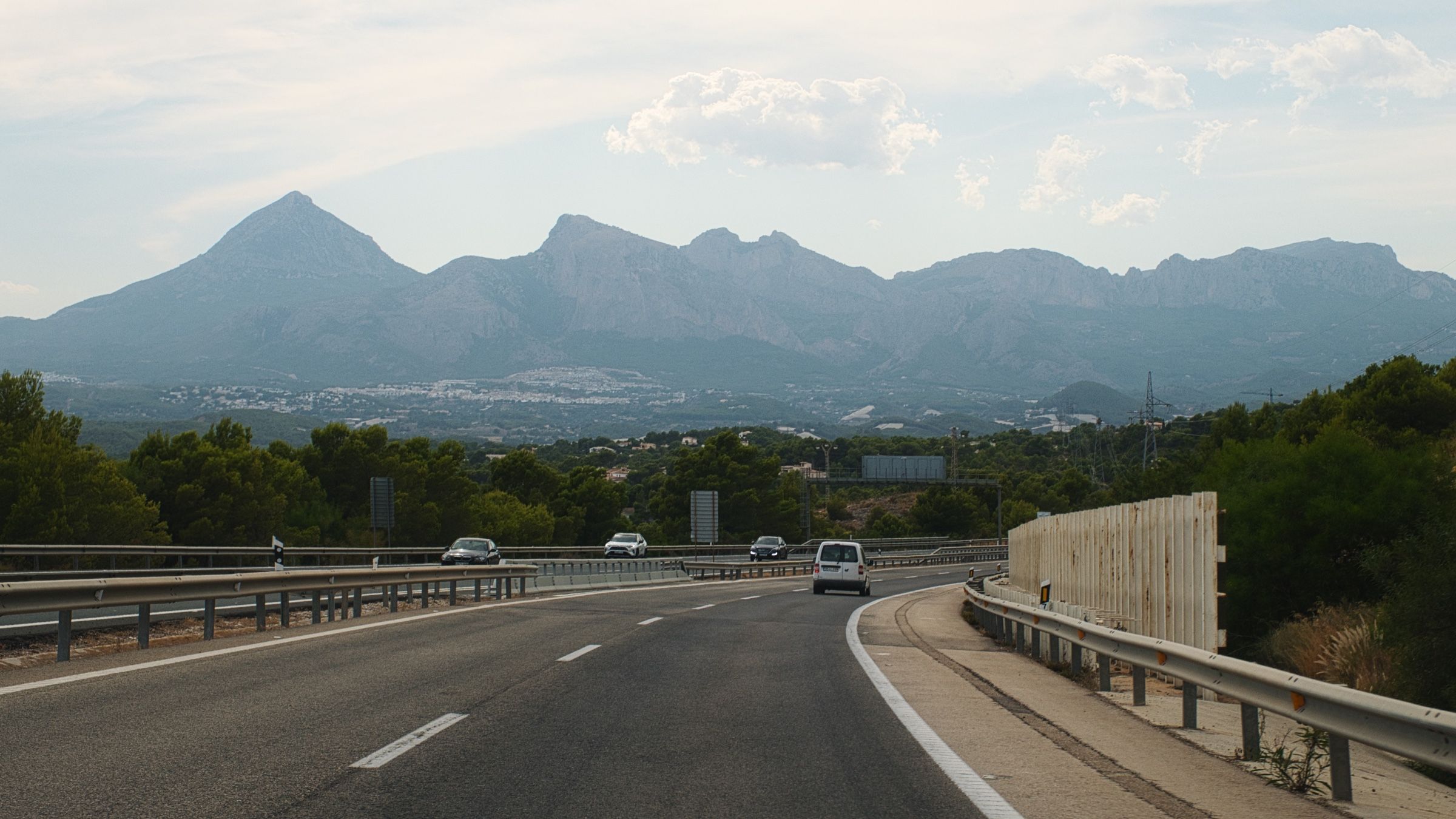
Мы проехали мимо города Бенидорм. Этот город смотрится довольно странно и необычно для Испании – море, горы и многочисленные высотки на побережье. Изначально мы хотели там остановиться, но, к сожалению, в тот день у нас просто не было времени.
Рядом с Аликанте мы свернули вглубь страны. Это один из самых популярных туристических районов Испании, и было довольно сложно найти хороший отель по разумной цене на побережье. Поэтому мы решили переночевать в Мурсии, городе, который находится немного в стороне от моря.


Мурсия
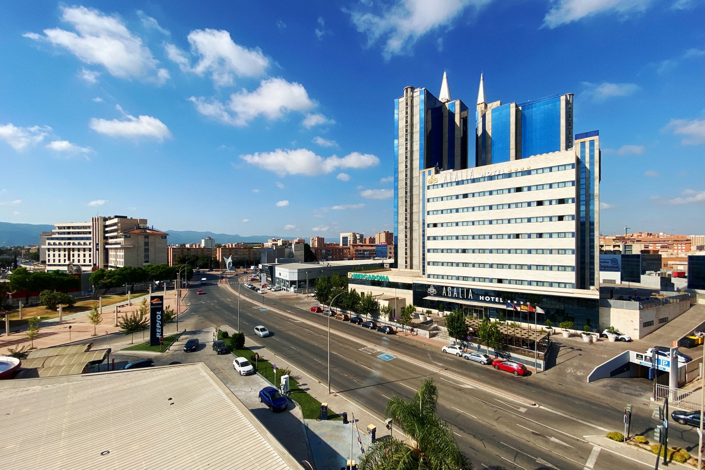
Мурсия встретила нас гигантской статуей Иисуса, прямо как в Рио-де-Жанейро. Немного поменьше, конечно, но в целом-то какая разница? Для нас тогда она выглядела абсолютно так же.

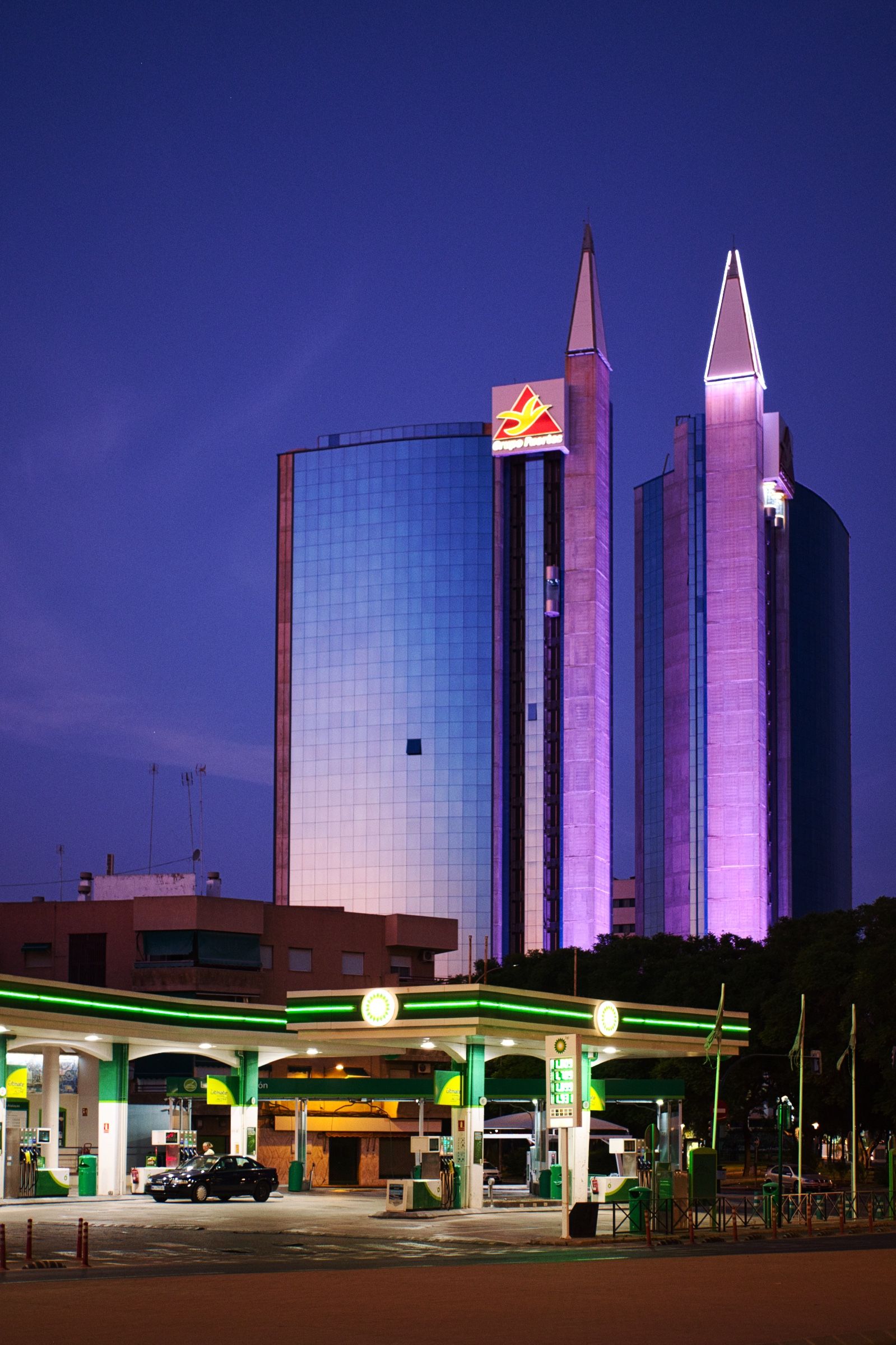
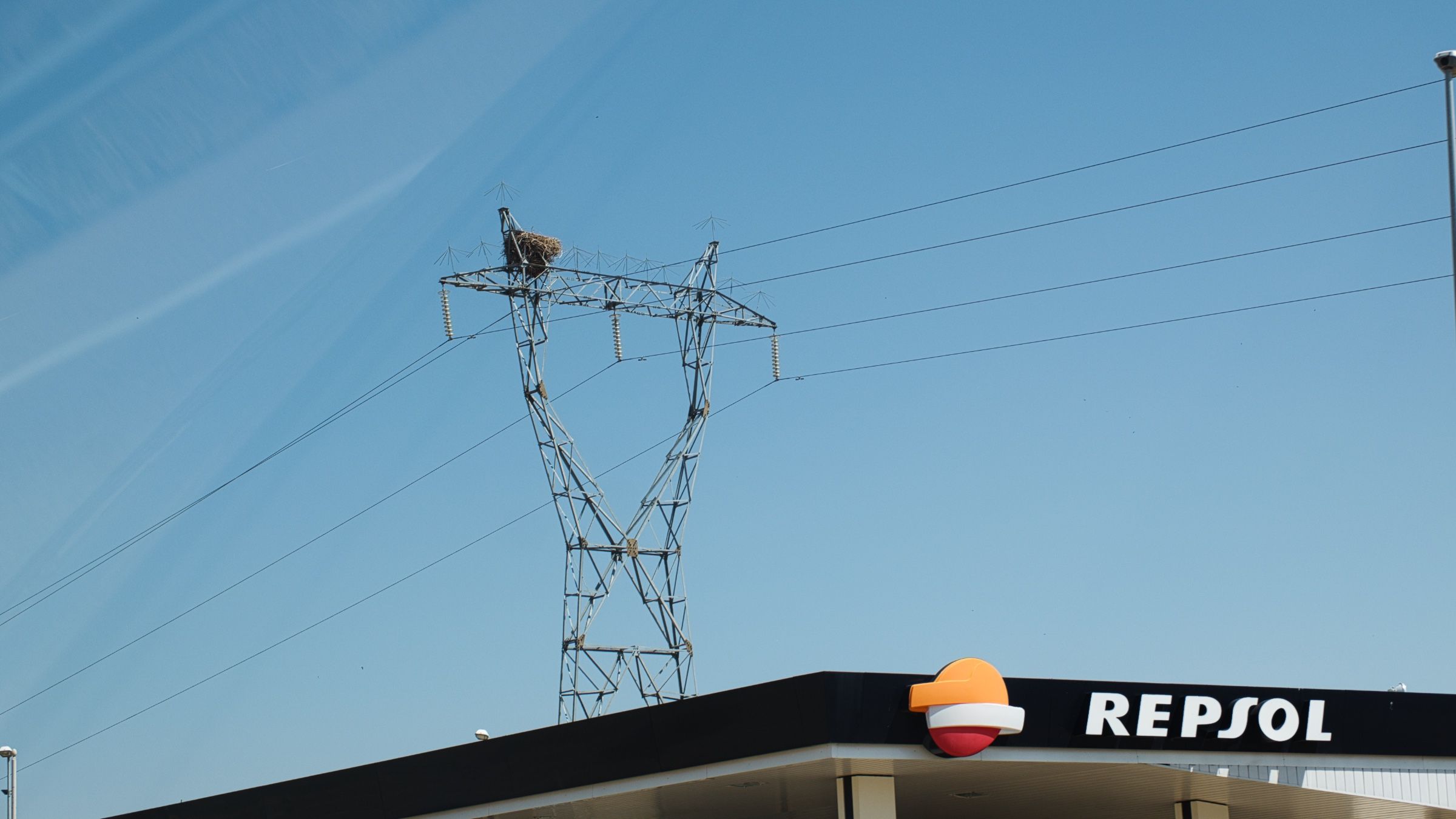
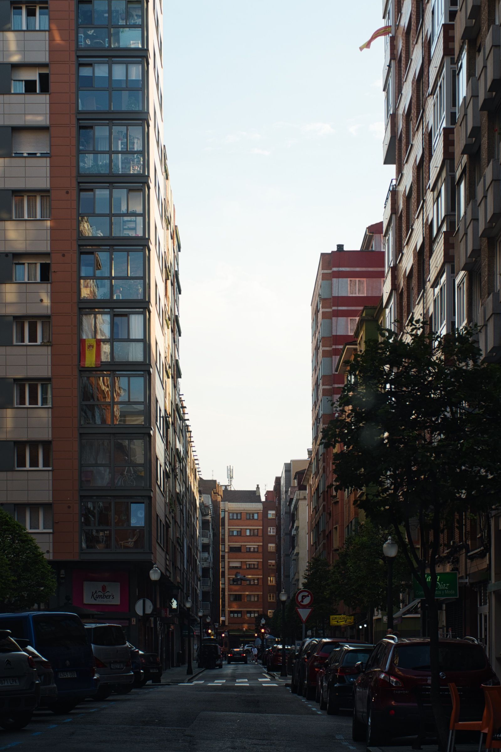
Наш отель находился в одной из двух городских высоток, по виду как будто бы прямиком из 80-х или 90-х, а рядом еще и заправка. Не знаю почему, но это напомнило мне все эти похожие друг на друга городки, разбросанные вдоль западного побережья США.
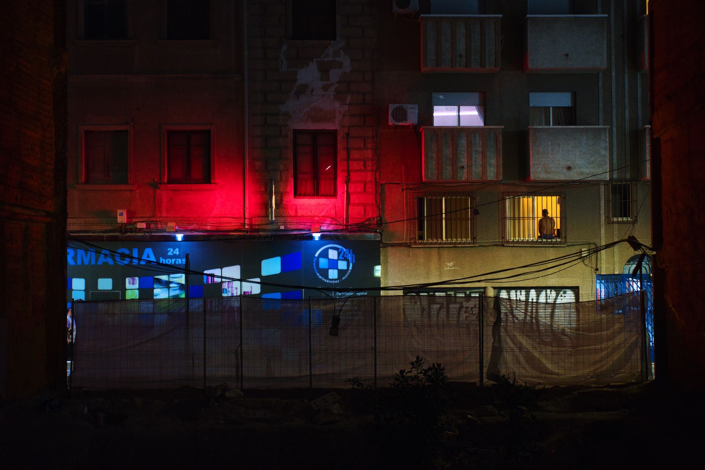
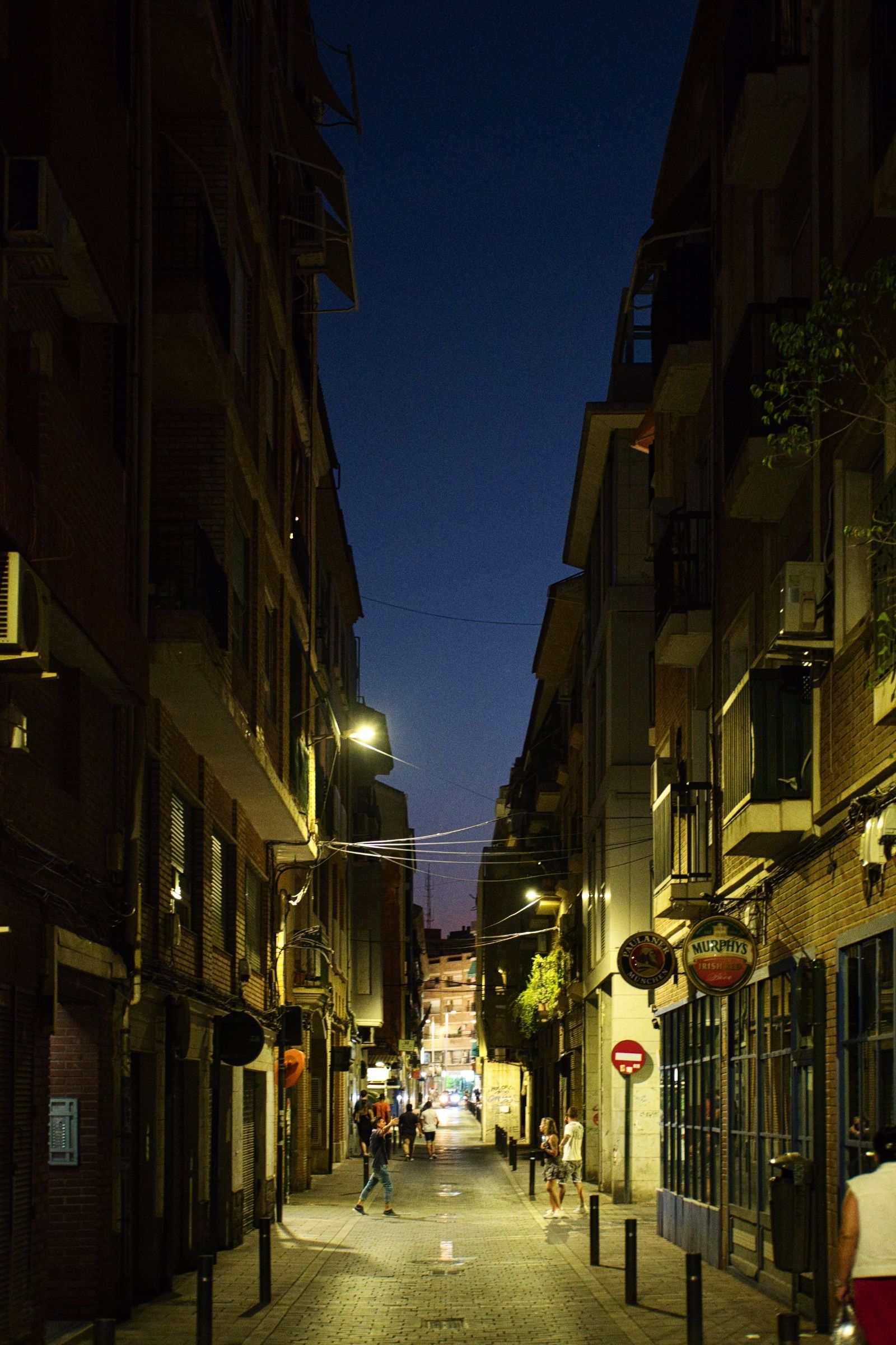
Возможно, из-за того, что уже был поздний вечер и на улице уже стемнело, но город показался нам довольно мрачными. Поэтому после довольно короткой прогулки мы решили просто поужинать и вернуться в отель.
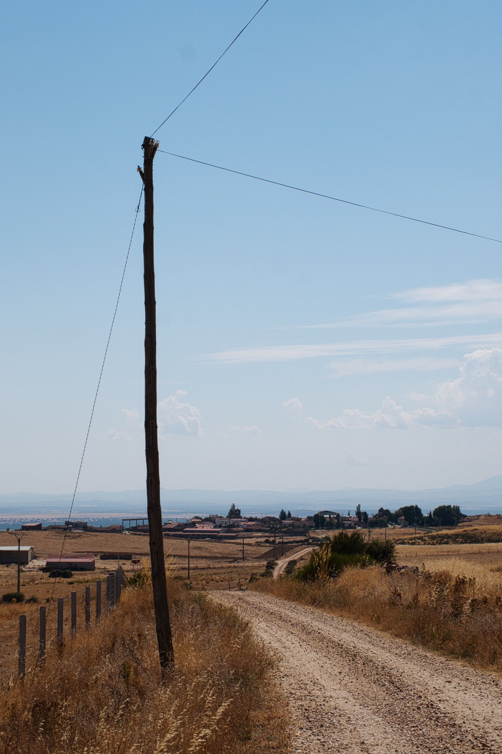
Пустоши 🌵
Проснувшись довольно рано следующим утром, мы плотно позавтракали в отеле и вновь отправились в путь.
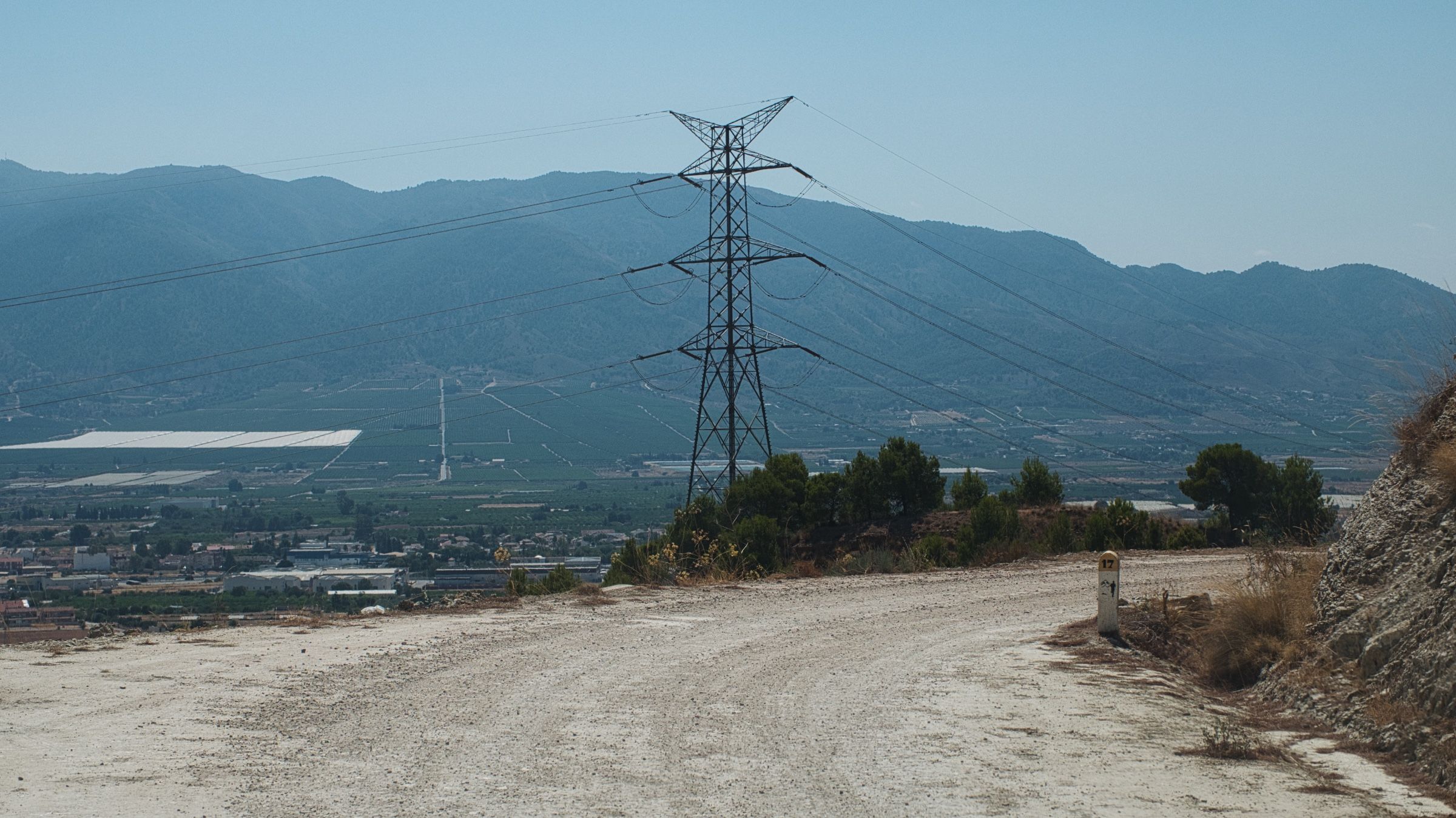
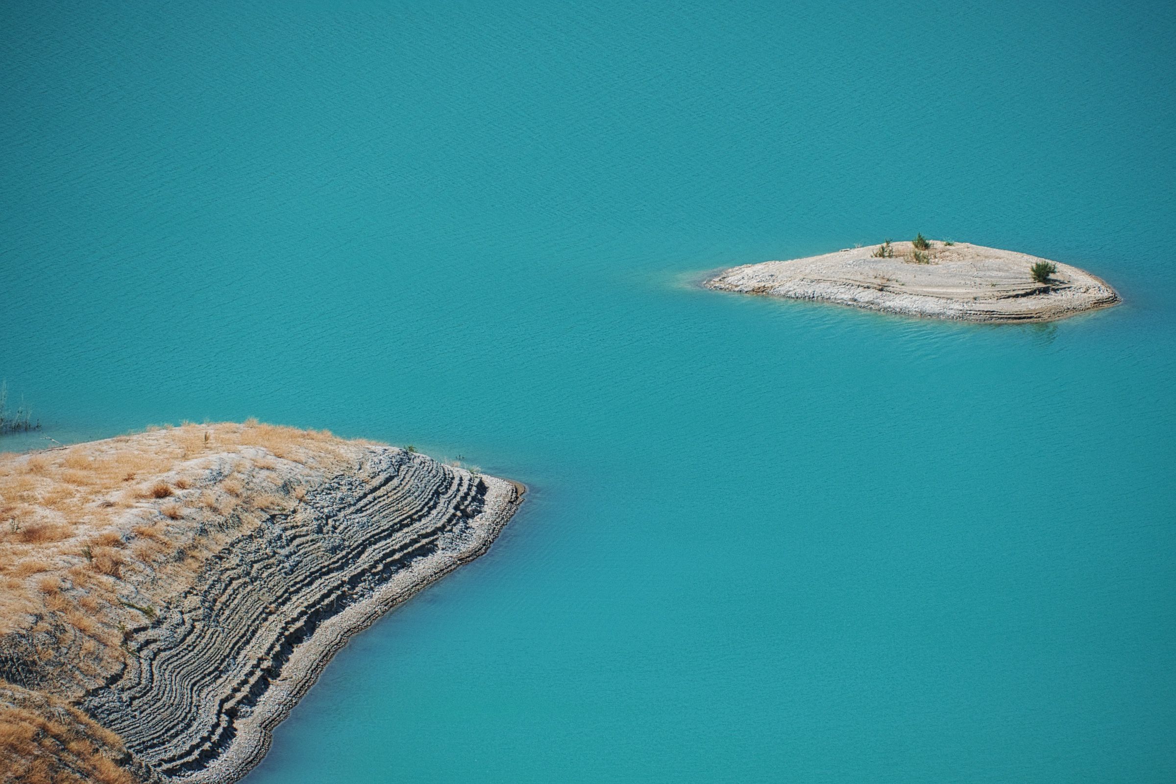
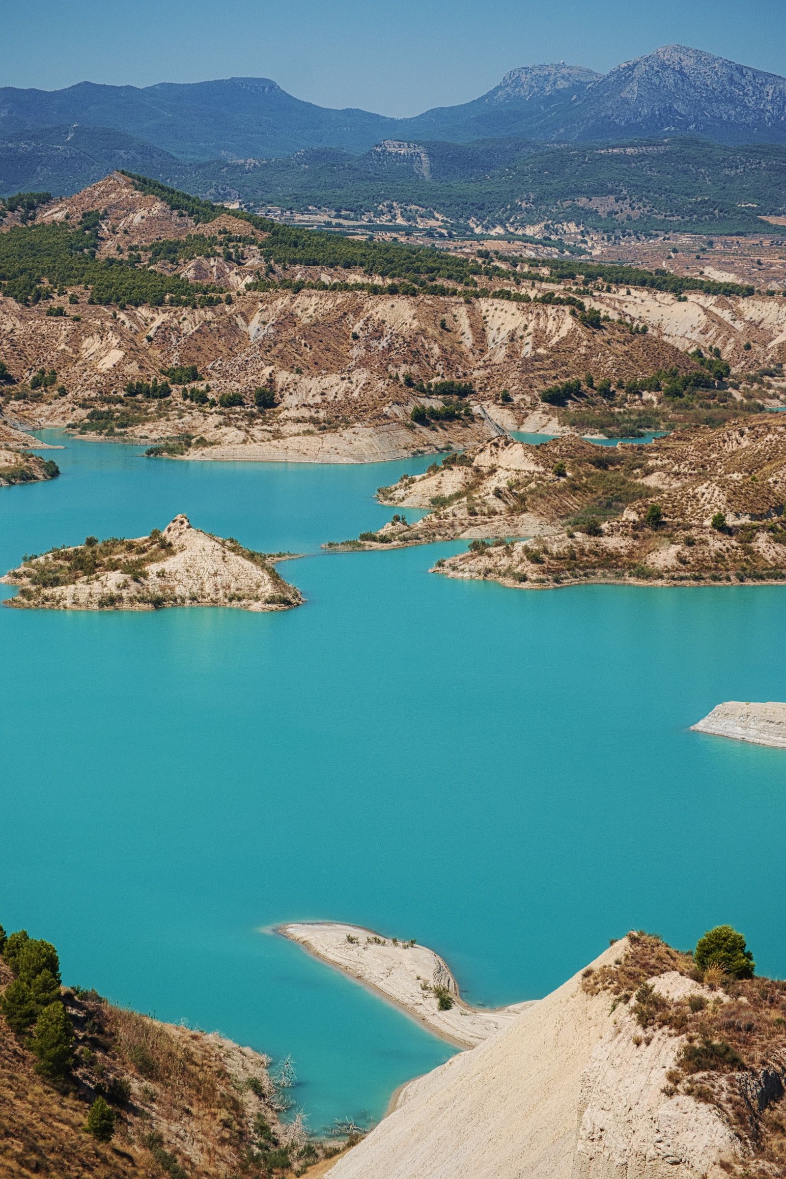
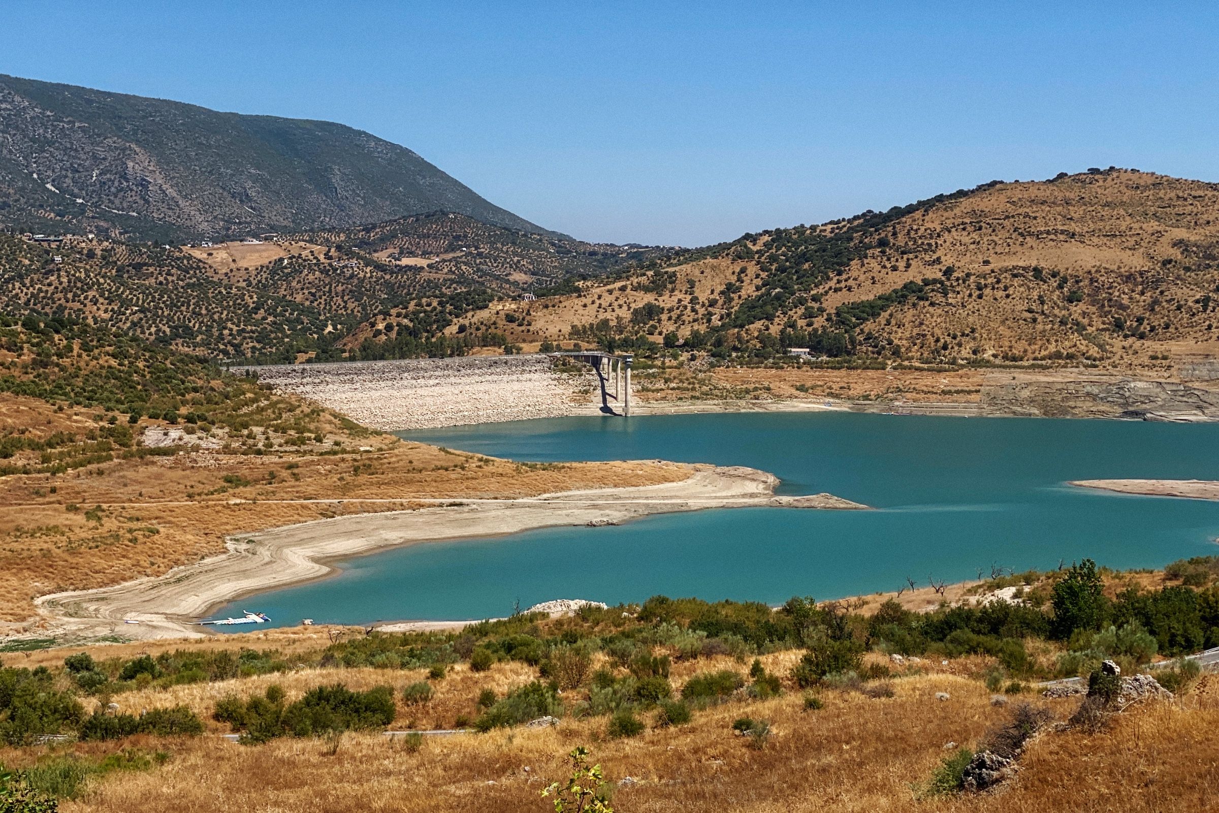
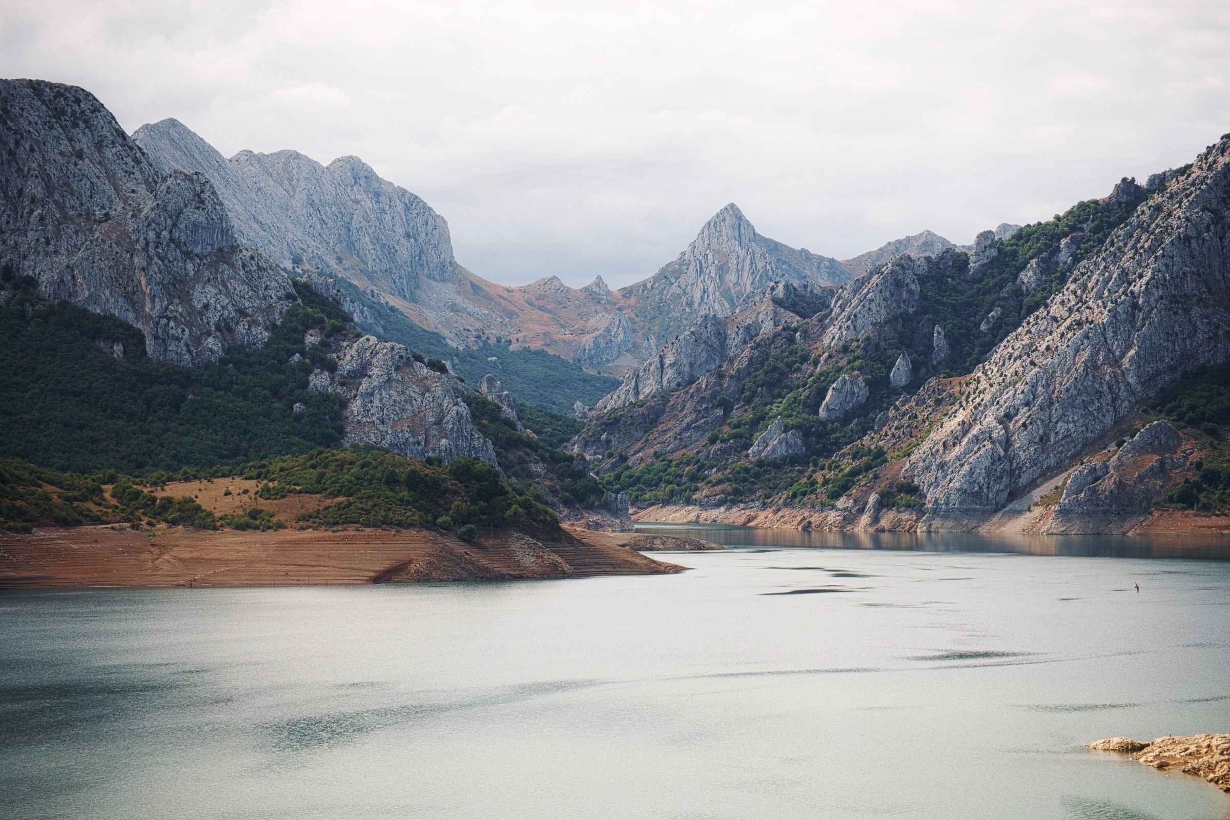
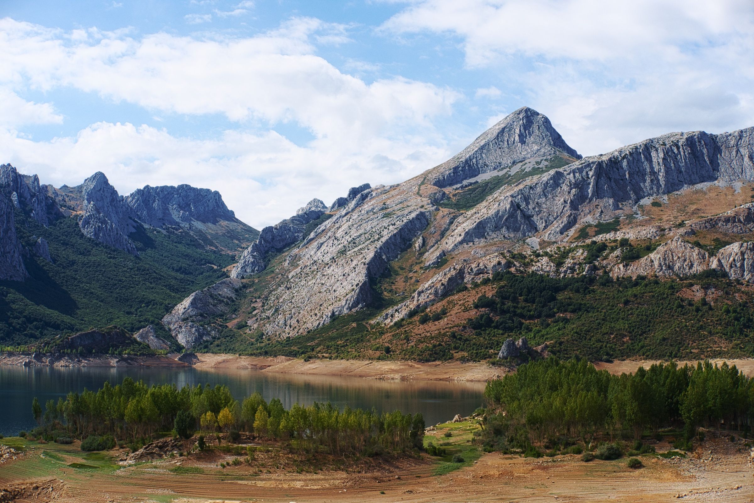
Вначале решили заехать на одну обзорную точку (на испанском – mirador) недалеко от города. Она находилась в стороне от шоссе, на крутой извилистой дороге в холмах, и с нее открывался панорамный вид на местное водохранилище, окруженное большими песчаными дюнами и наполненное ярко-бирюзовой водой.
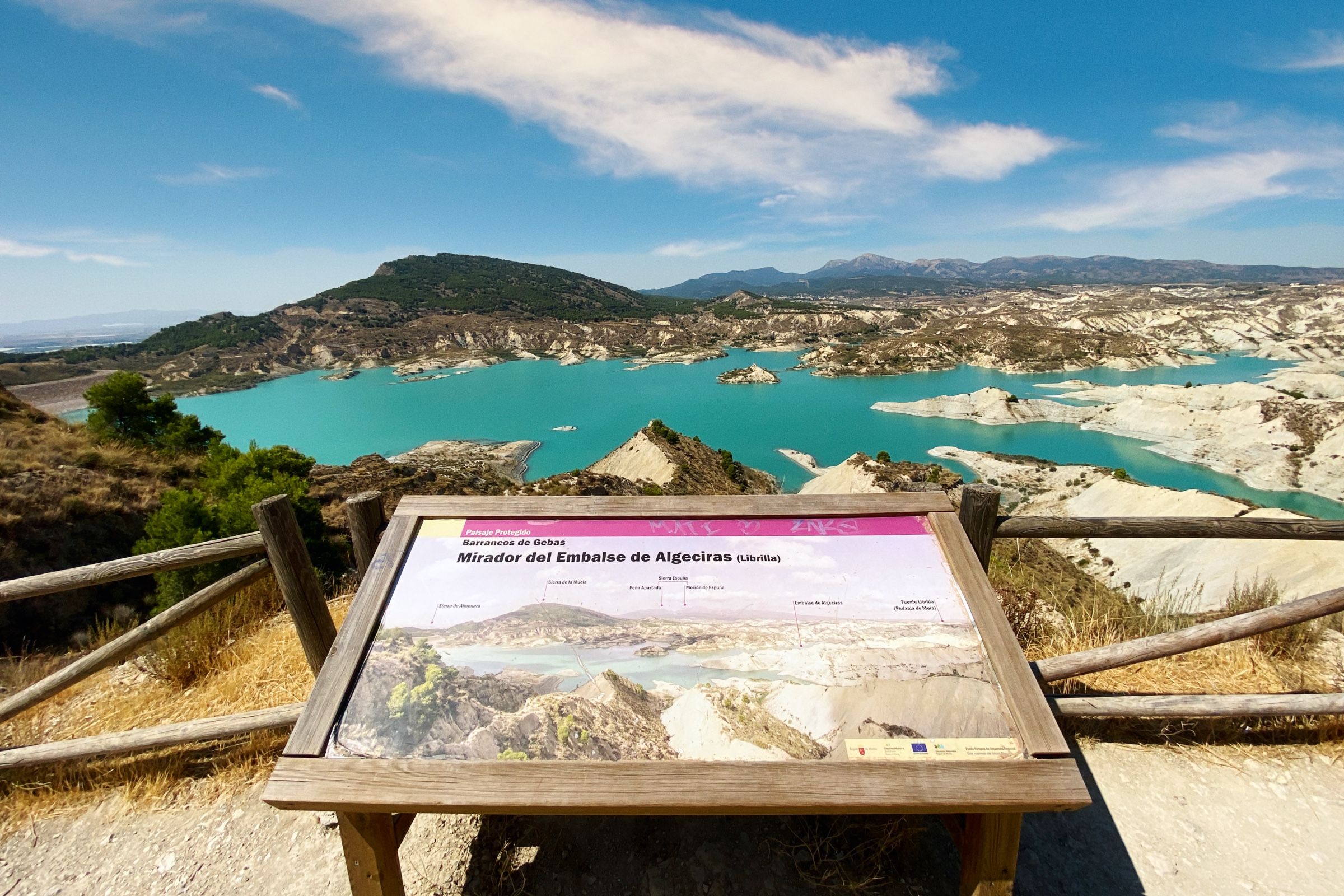
Виды действительно были прекрасными, но прямо с утра уже было настолько жарко, что немного полюбовавшись пейзажами и сделав пару снимков, мы вернулись в машину.
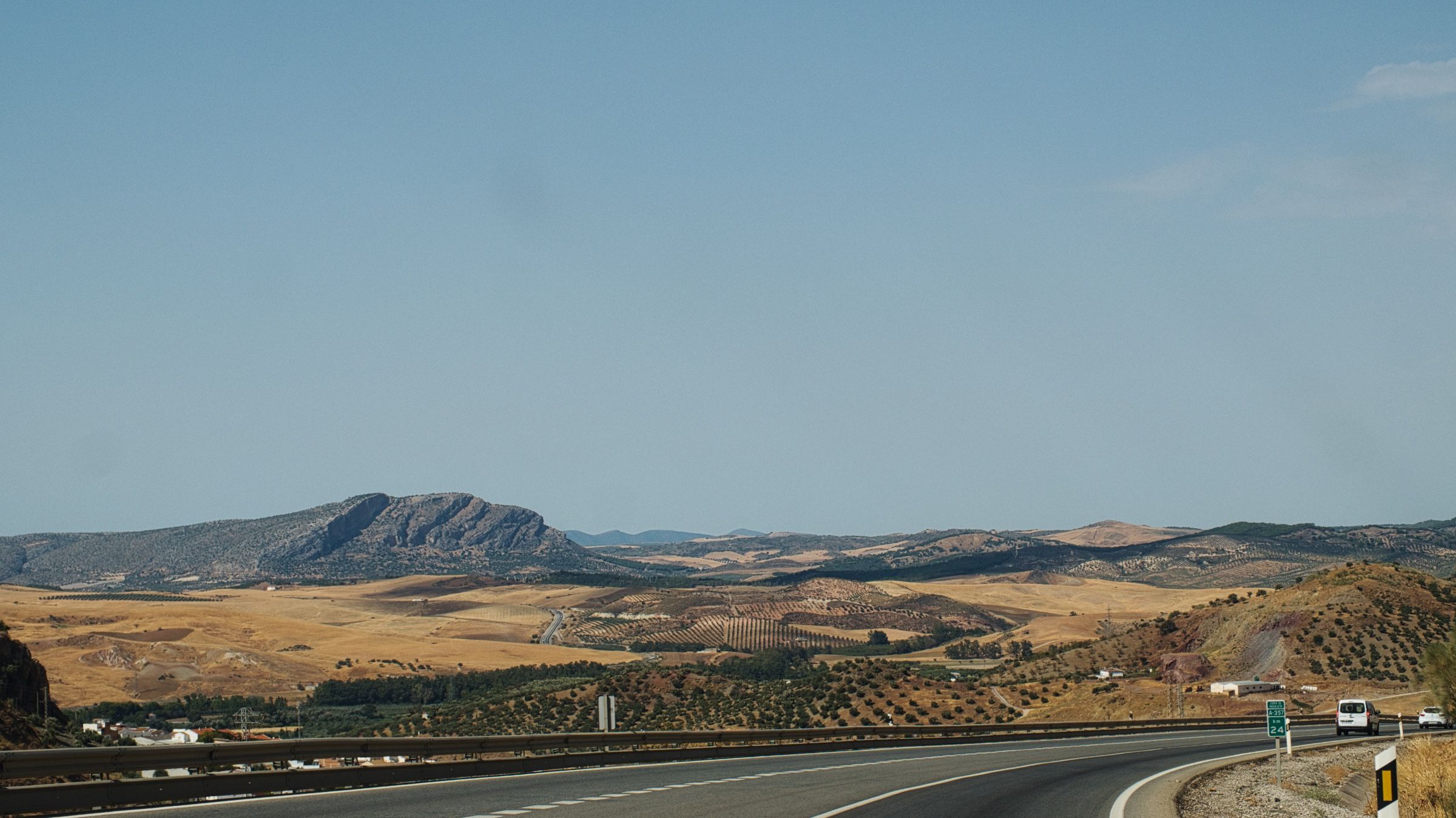
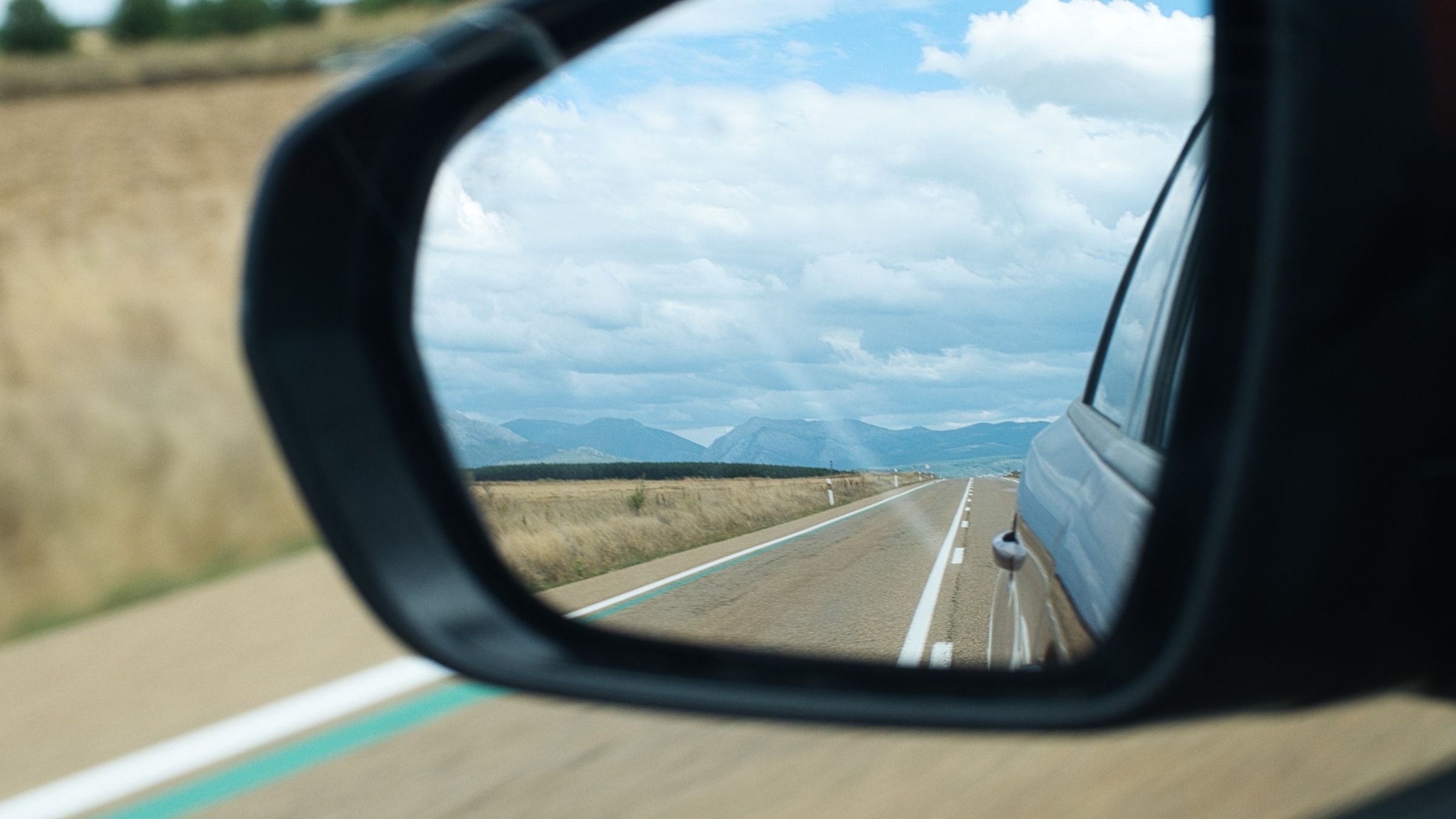
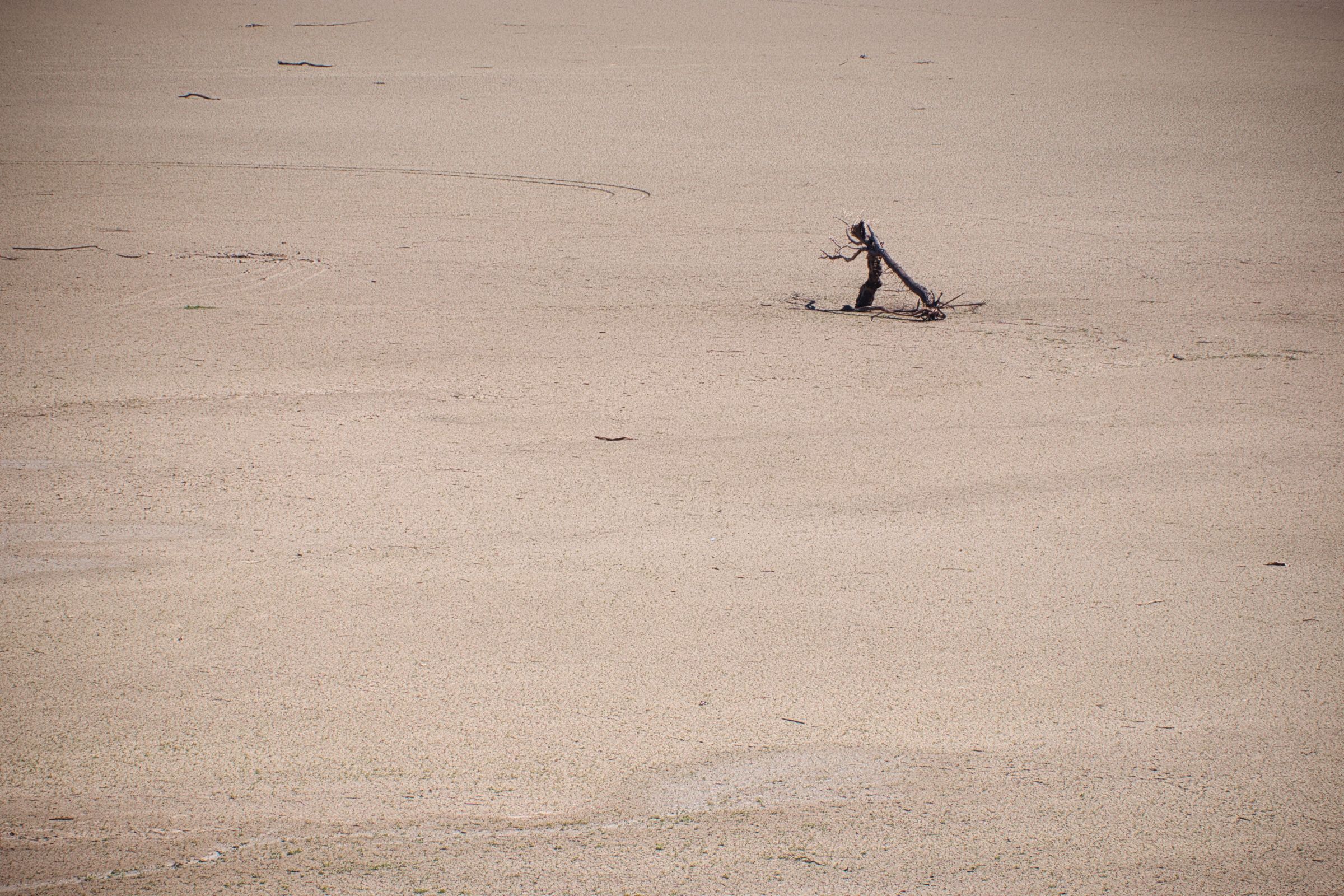
Было приятно снова сесть в машину под прохладный кондиционер и просто ехать. А тем временем пейзажи за окном становились все скуднее и все больше походили на какие-то пустоши.

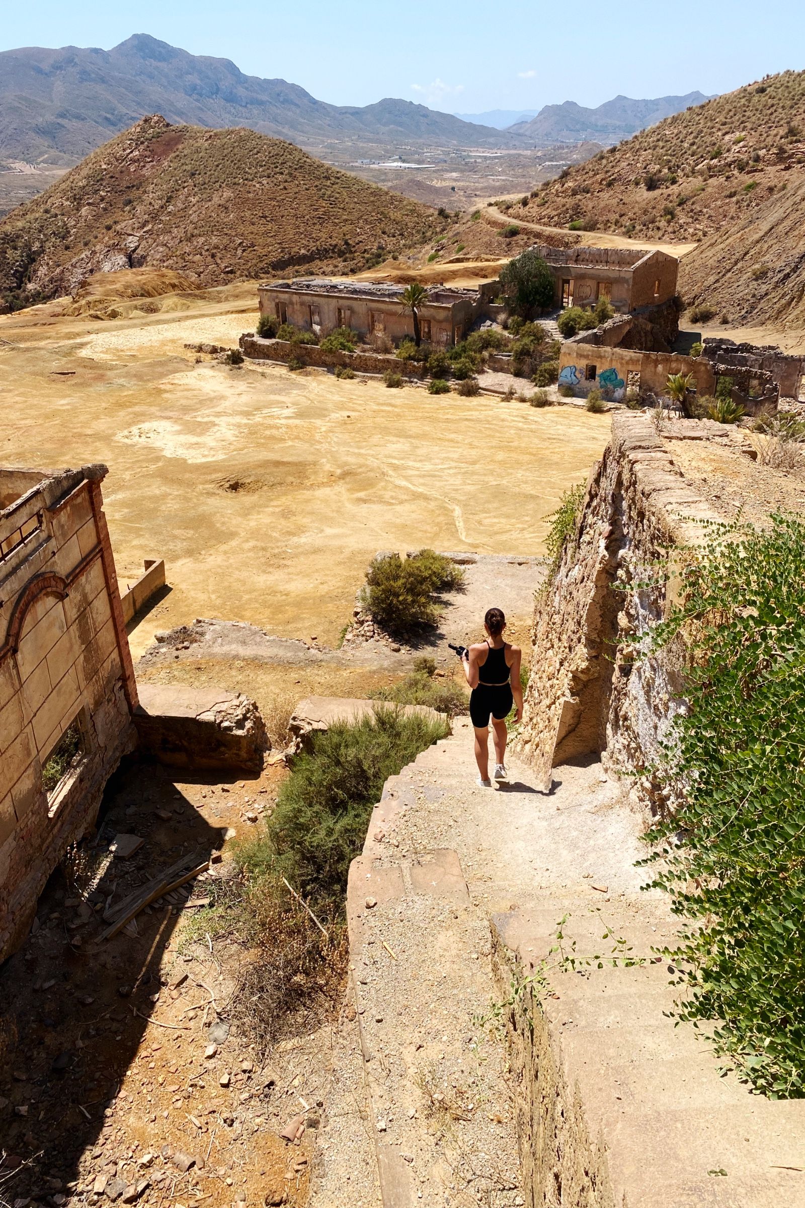
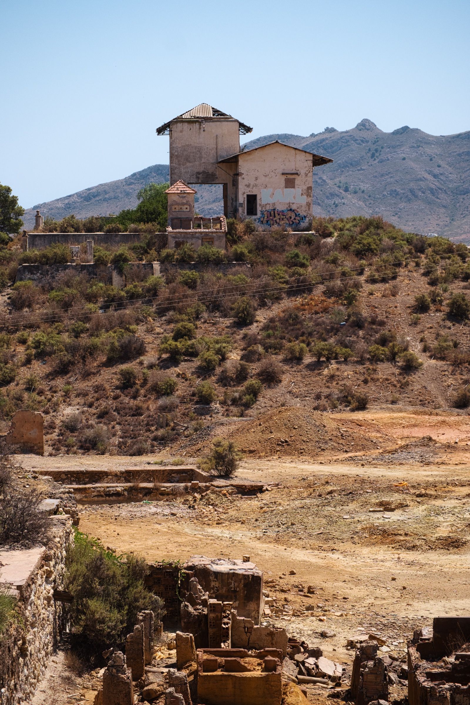
Заброшенные шахты 👻
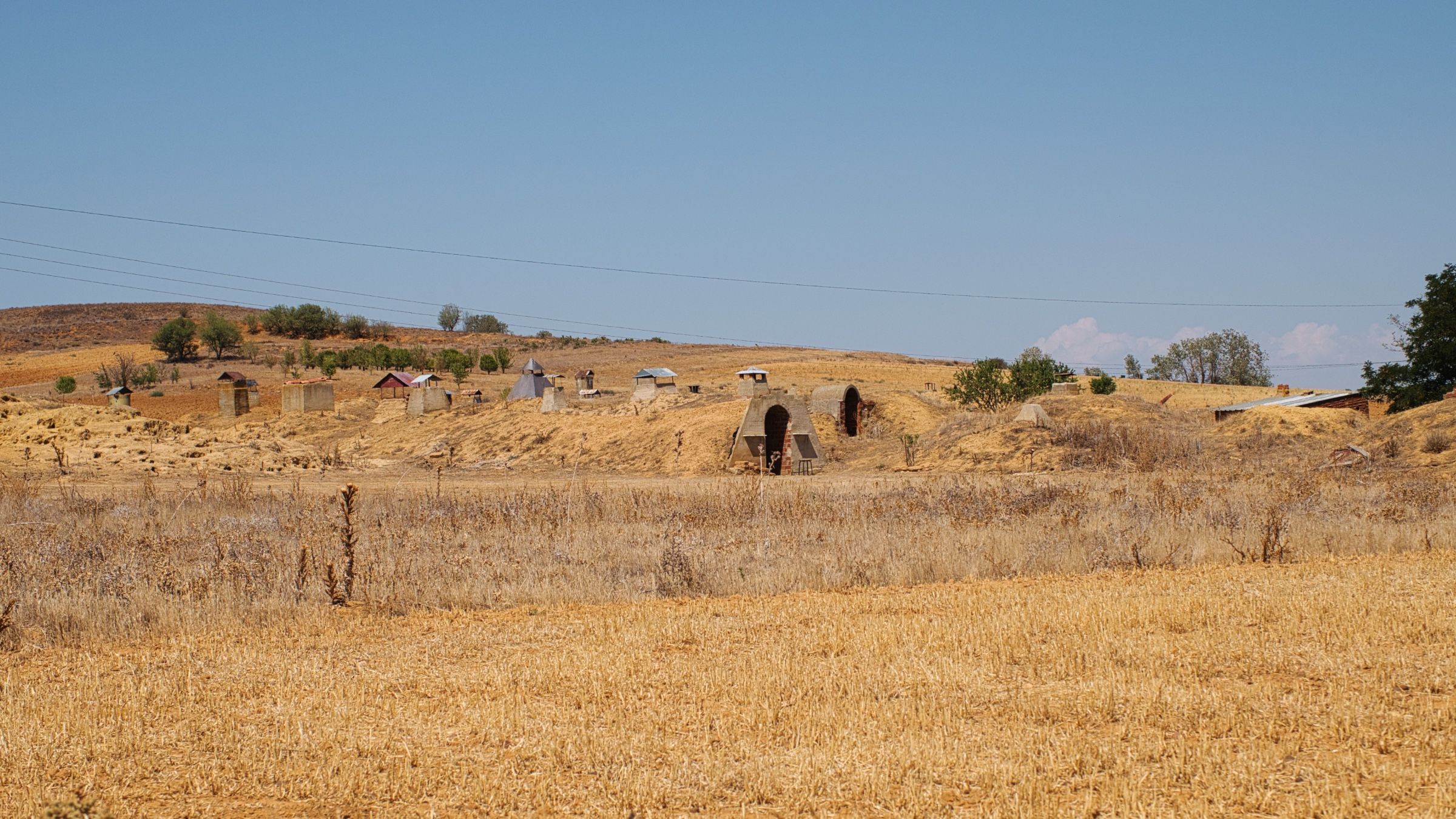
Так мы и доехали до следующего пункта нашего маршрута – заброшенные рудные шахты недалеко от небольшого городка Масаррон (Mazarrón).

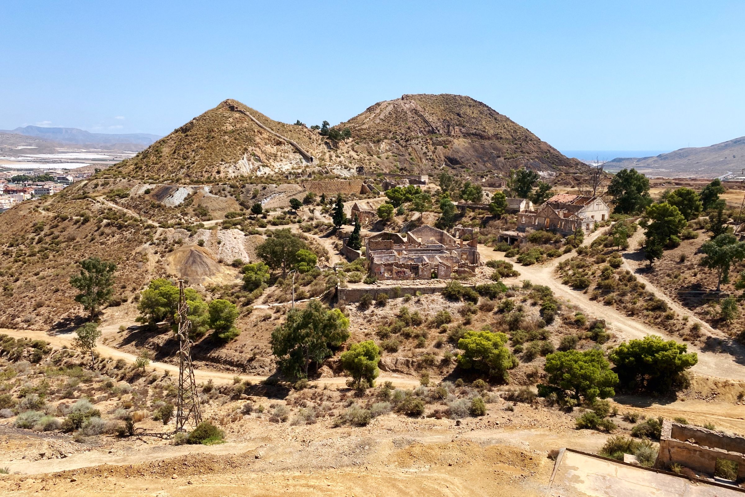
Очень клевое место для всех любителей заброшек и urbex. Кажется что ты вдруг очутился в каком-то покинутом и разрушенном городе на Диком Западе 🤠. И первая ассоциация, которая пришла мне в голову, когда мы туда приехали – это Red Dead Redemption.
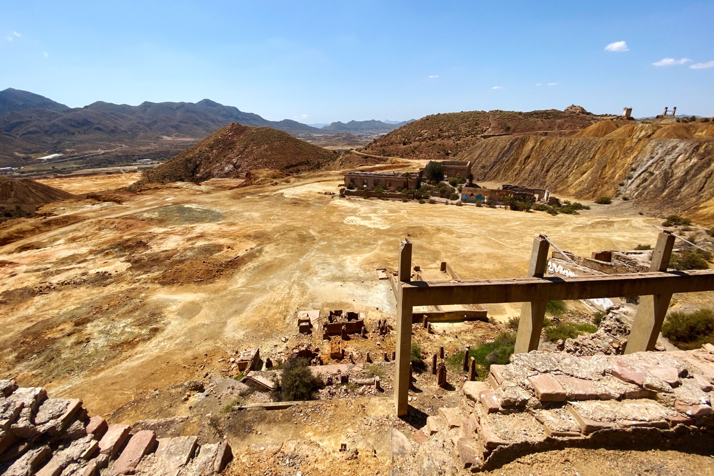
Единственное, что напоминало о том, что когда-то здесь были настоящие шахты, был резкий химический запах и странный цвет земли.
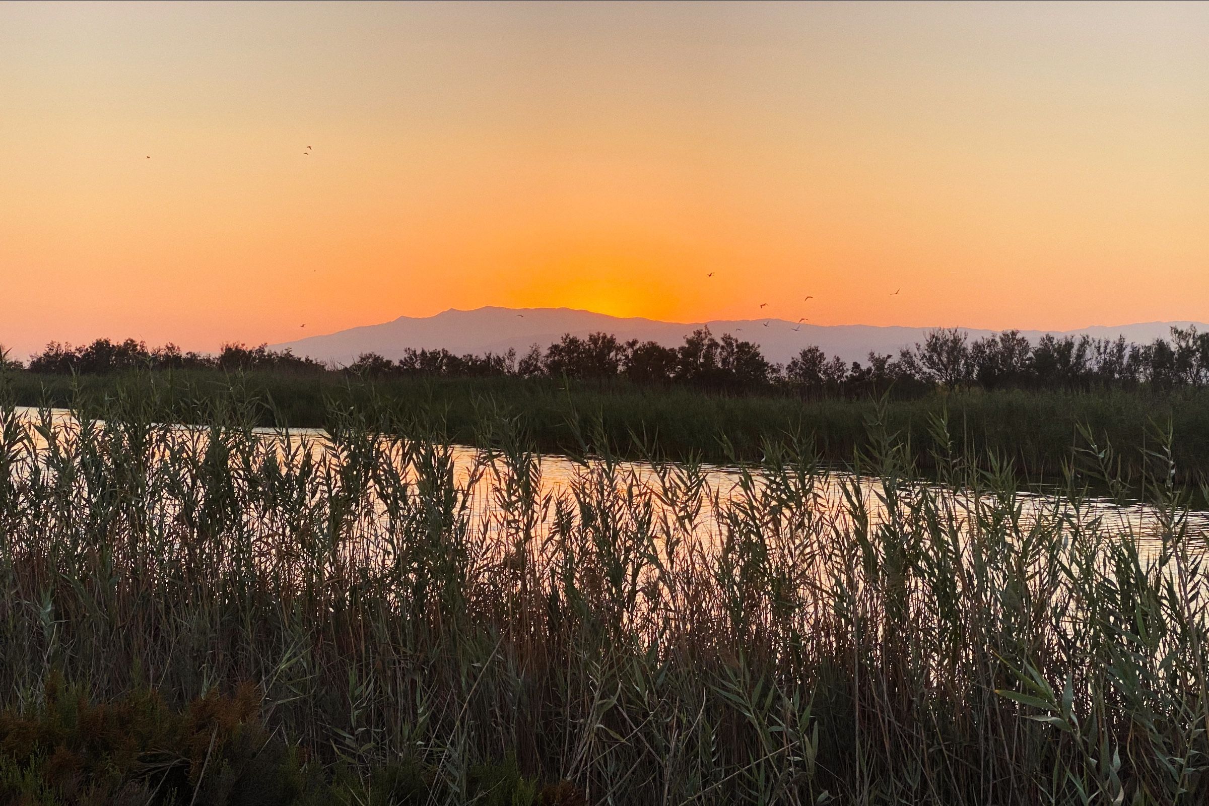
Мы вернулись в машину и отправились наконец-то к последней точке на тот день – в кемпинг в природном парке Кабо де Гата (Cabo de Gata).


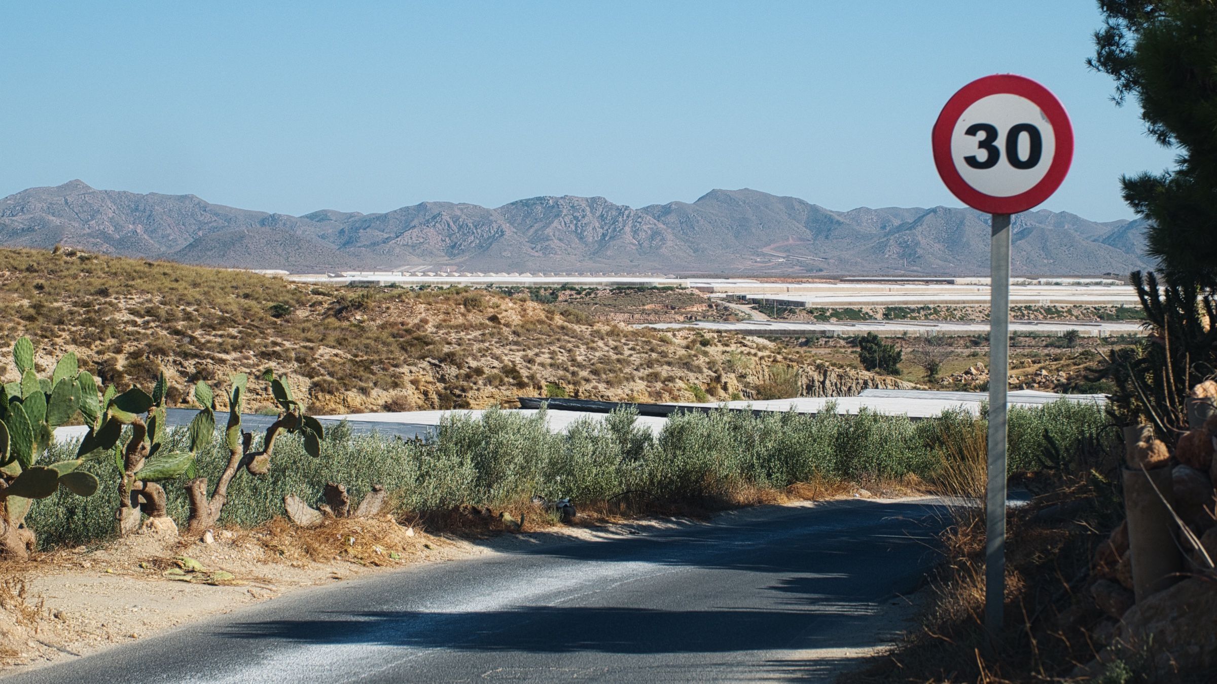
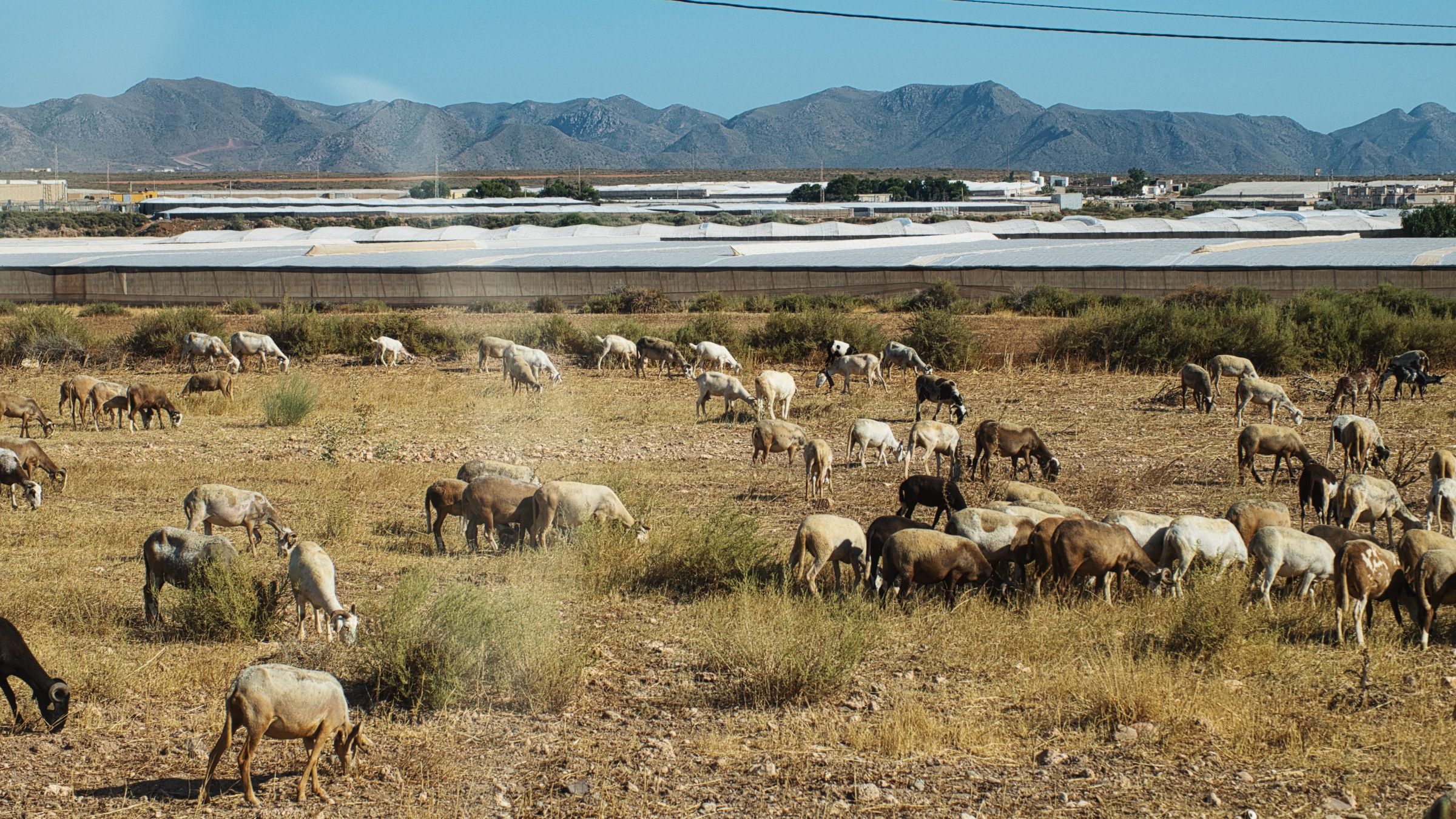
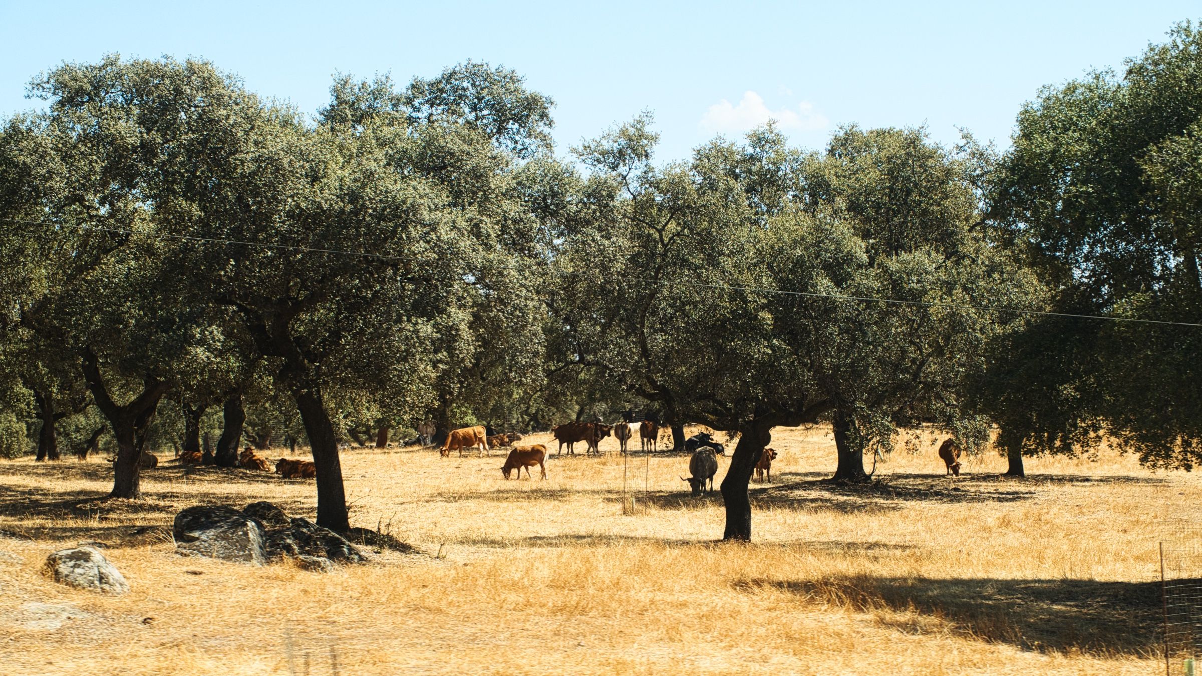
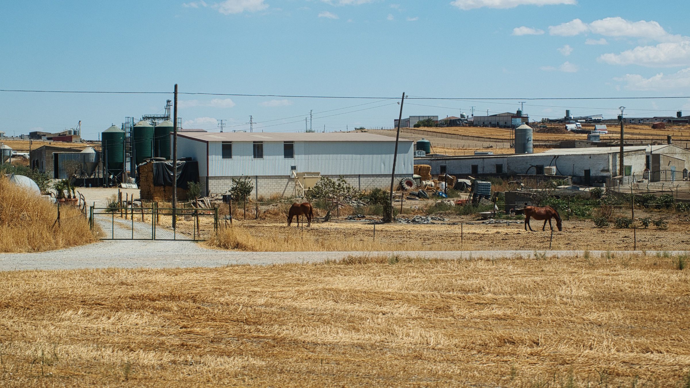
Фермы
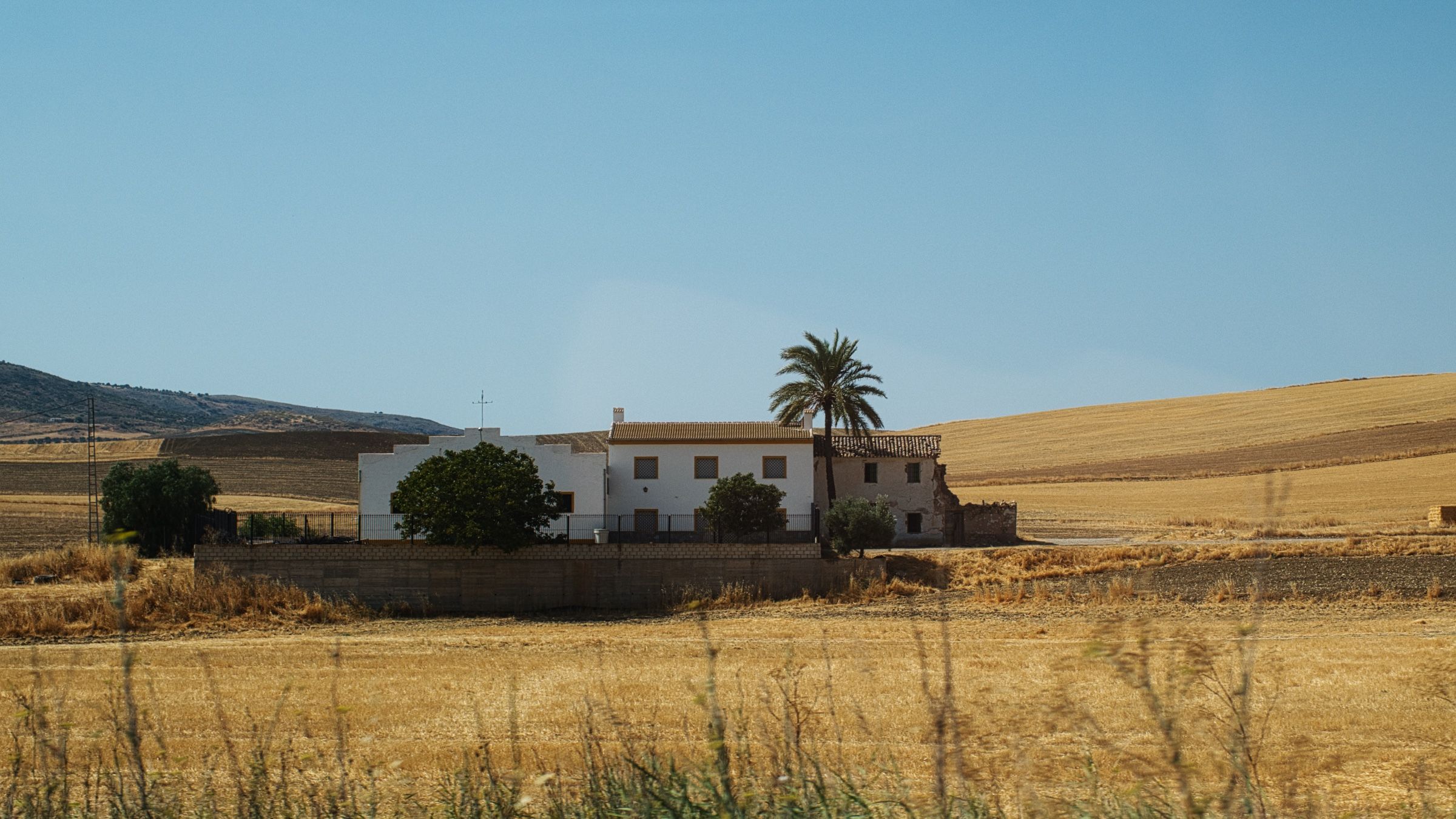
Пейзажи за окном были вполне типичными для этой части Испании – холмистые пустынные земли с редкой растительностью.
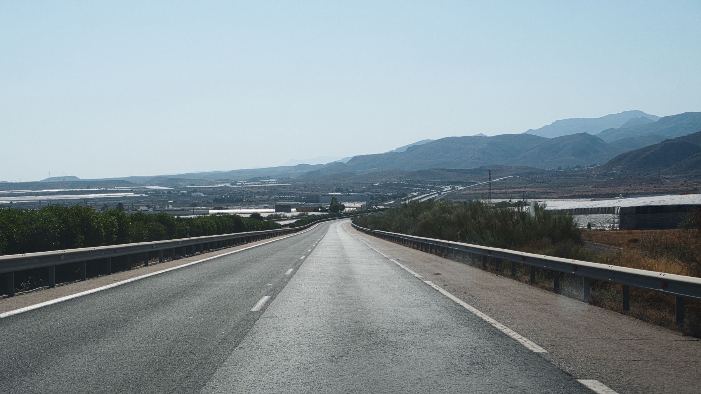
Но как только мы въехали в провинцию Альмерия, вдоль дороги то тут, то там начали появляться многочисленные теплицы укрытые белой пленкой.
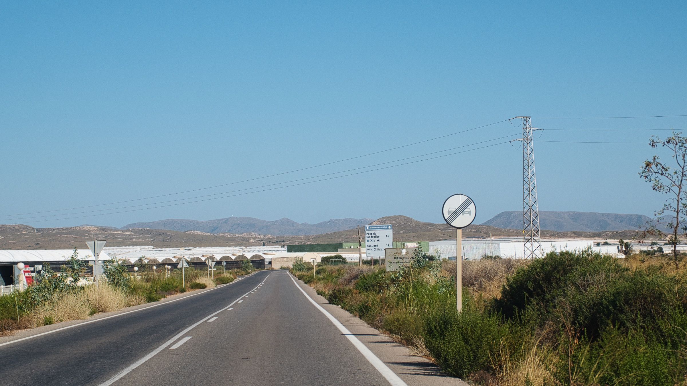
Вначале мы подумали, что это животноводческие фермы, но мы ошиблись – как мы узнали позже, это были теплицы для фруктов и овощей.
Кабо де Гата
Мы свернули с магистрали на небольшую проселочную дорогу и, прямо через все эти теплицы, наконец-таки добрались до места назначения.
Было очень жарко, поэтому, поставив палатку, мы решили поехать на пляж искупаться. По дороге назад произошла одна забавная история – наша машина застряла в песке 😂. Но к счастью, нас спасли неравнодушные и добрые местные жители.
Мы благополучно вернулись в кемпинг, но там уже было слишком много суеты – громко играла музыка, туда-сюда мимо всех палаток и машин постоянно бегали дети. Поэтому мы решили взять еду и вино и отправиться на пляж (на этот раз уже пешком 🫠), чтобы поужинать там.
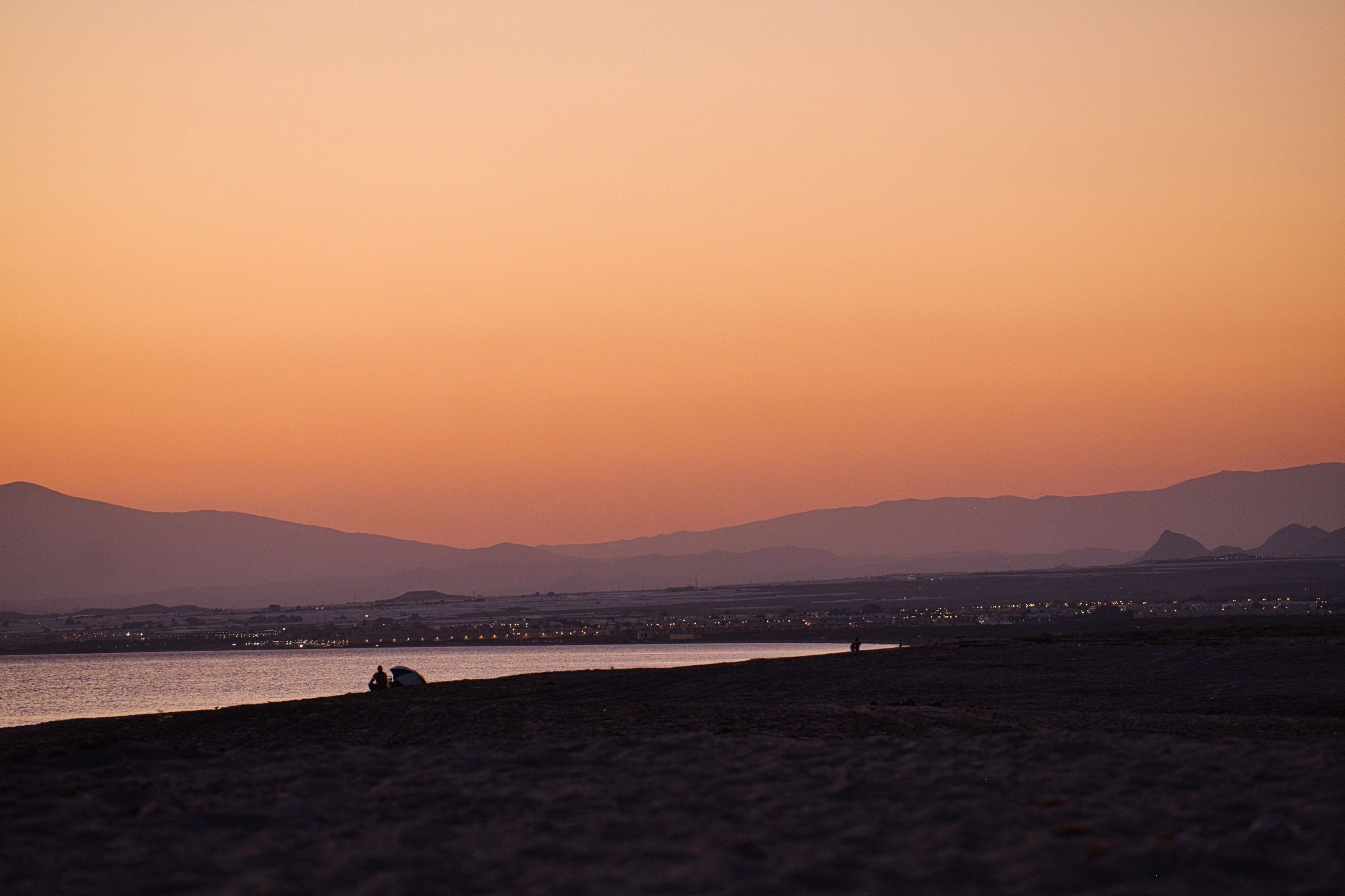
И вновь это было идеальное завершение дня 🍷🌅. Кажется, мне начинает нравиться кемпинг.

На следующее утро, быстренько собравшись мы выехали из кемпинга. Позавтракать мы решили у старого маяка прямо на берегу.

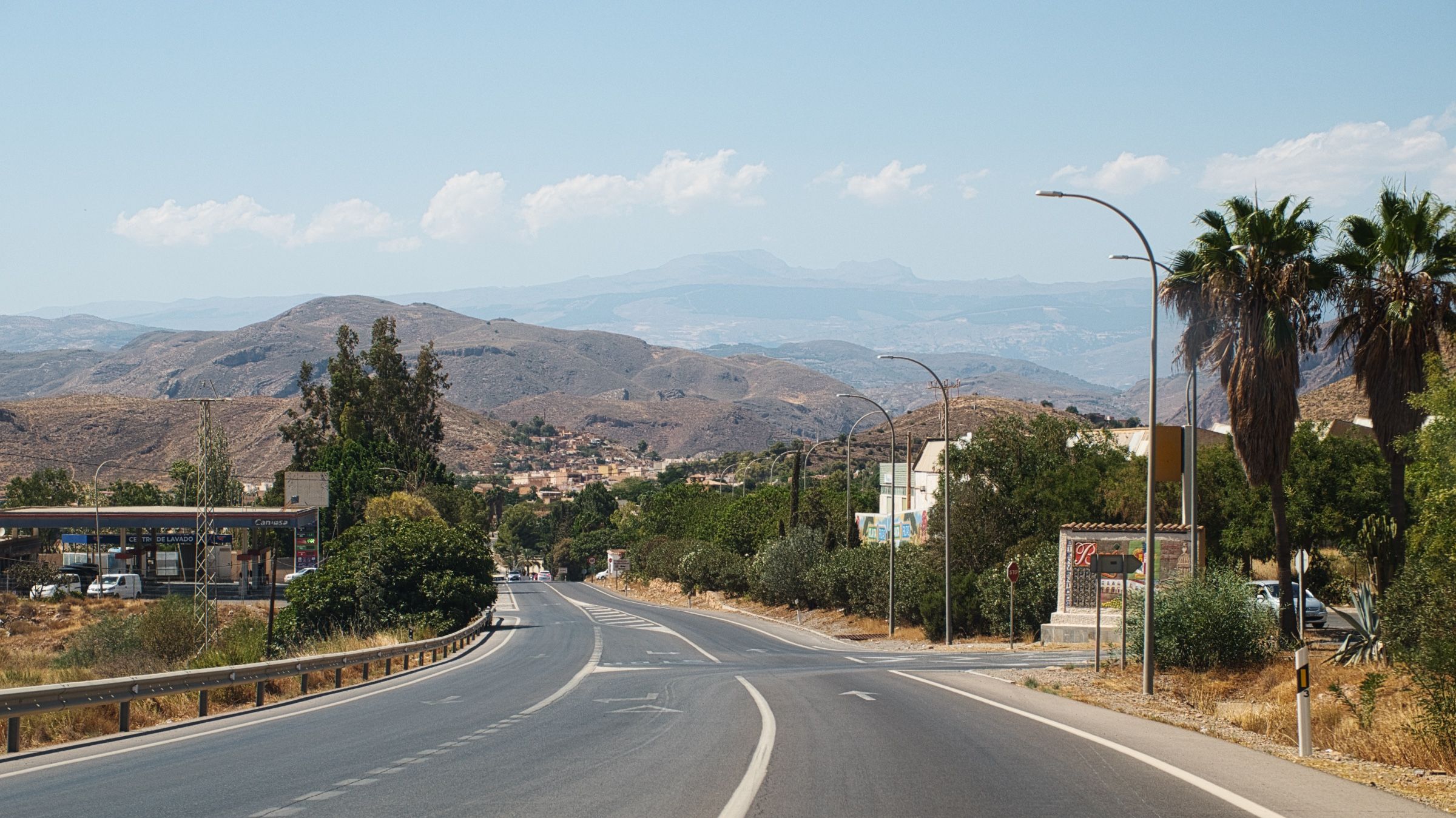
Сьерра-Невада
Затем мы заехали в придорожное кафе, выпить кофейку и обсудить планы на день. Мы были уже довольно близко к Сьерре-Неваде (Sierra Nevada), самой высокой горной цепи Испании. Поэтому решили проехать через неё, а ночь провести у подножия гор в Гранаде.
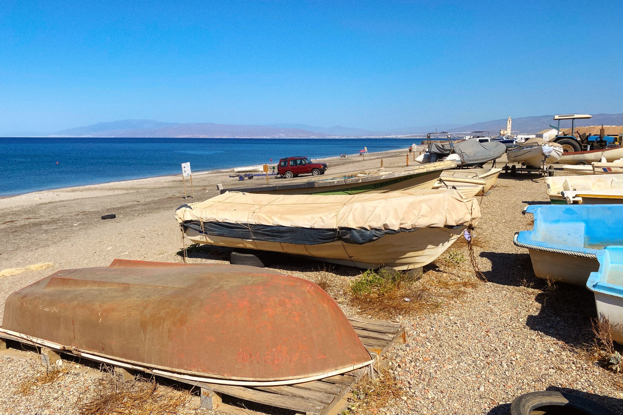
Жара становилась всё сильнее, и мы подумали, что было бы неплохо искупаться перед тем, как отправиться вглубь материка. На наше счастье, прямо в Альмерии (ближайшем к нам городе) были отличные пляжи.
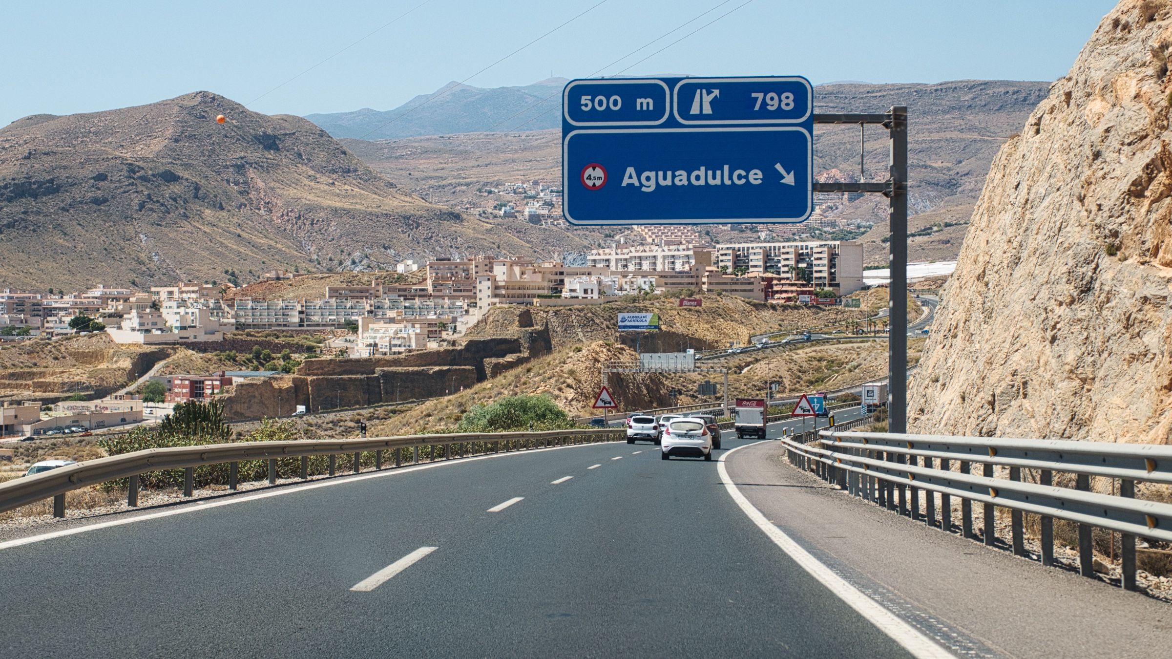
После короткой поездки по A-7 мы въехали в местность под названием Campo de Dalías, или как его называют местные – Пластиковое море (Mar de plástico). И на то есть веская причина. Почти вся территория (около 390 квадратных километров) покрыта пластиковыми теплицами. Просто посмотрите как это выглядит на спутниковом снимке.

Об этом месте есть несколько интересных фактов. Например, теплицы занимают настолько большую площадь, что это даже вызывает охлаждающий эффект, белые крыши отражают значительное количество солнечного света и тепла, тем самым понижая температуру вокруг. Или, например то, что пластик с теплиц в конечном итоге оказывается в море, загрязняя береговую линию и т.д.
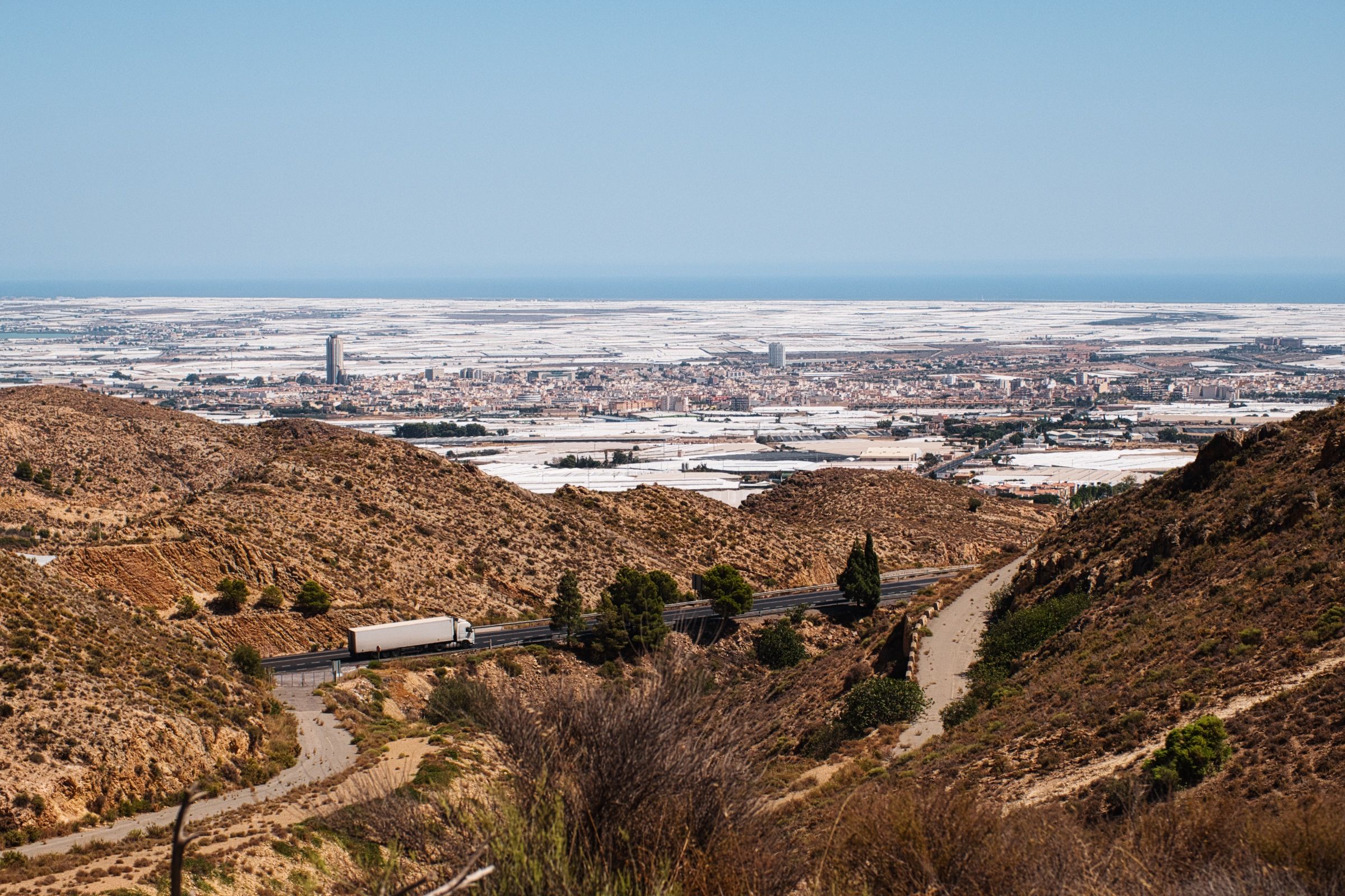

Находиться там среди теплиц тоже довольно сюрреалистично. Бесконечные белые пластиковые стены, а среди них дороги, дома, супермаркеты и заправки. Это место выглядит настолько футуристично, что его даже использовали в фильме "Бегущий по лезвию 2049" – его показывают с высоты в самые первые секунды фильма.
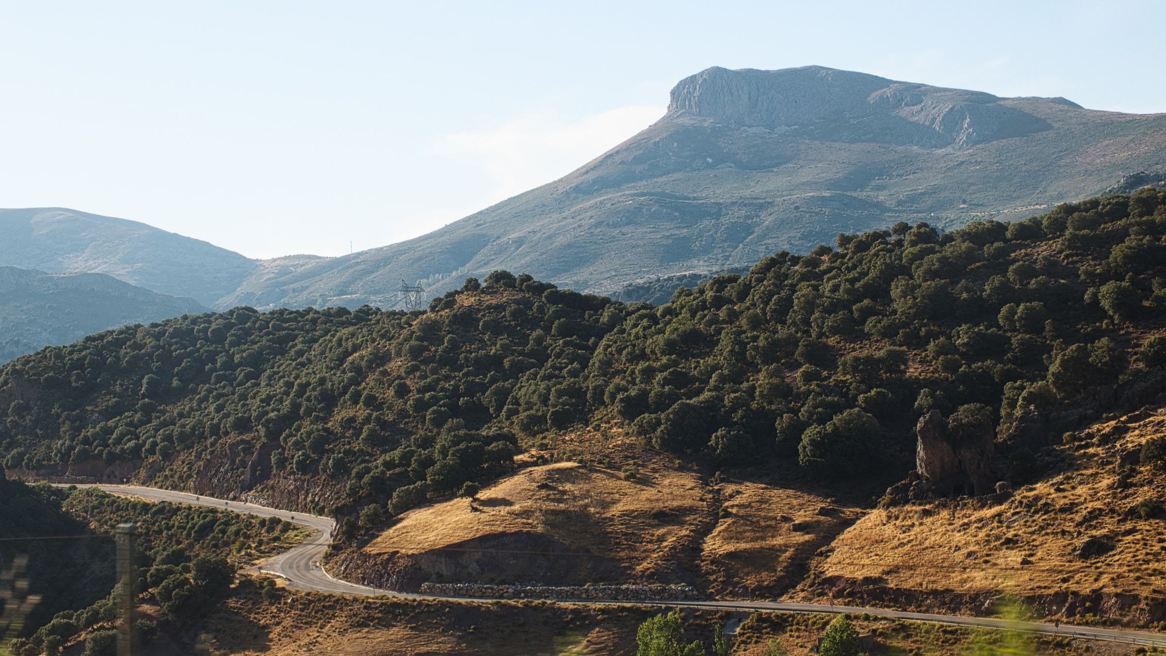
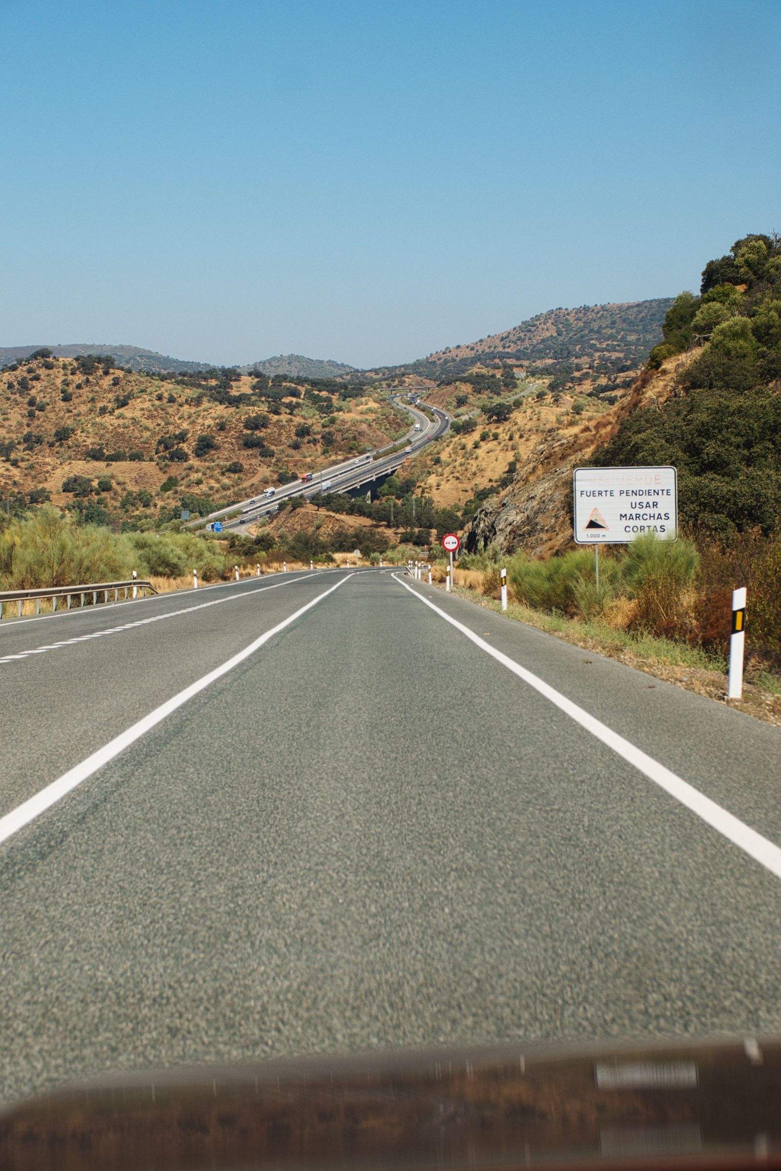
Но едем дальше. С A-7 мы свернули на A-358, затем на A-347 и, наконец, на A-337 — небольшую дорогу, которая проходит прямо через горы. И чем дальше мы ехали по ней, тем круче и уже она становилась.
В какой-то момент она превратилась в один сплошной серпантин. Вождение уже больше напоминало тренировку по прохождению поворотов, и мы медленно пробирались через хребет. Но в качестве награды конечно были просто захватывающие виды практически после каждого поворота.

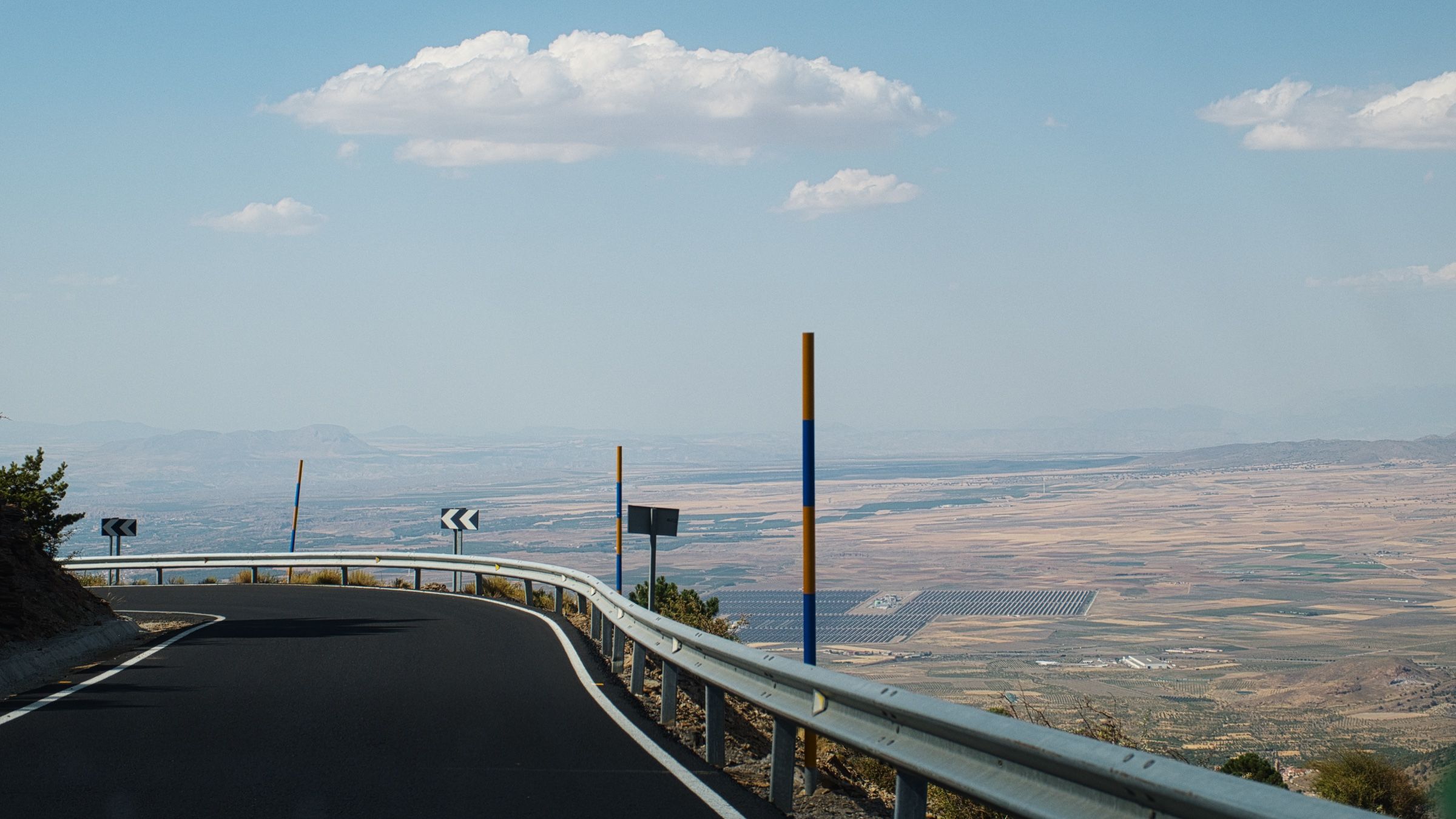
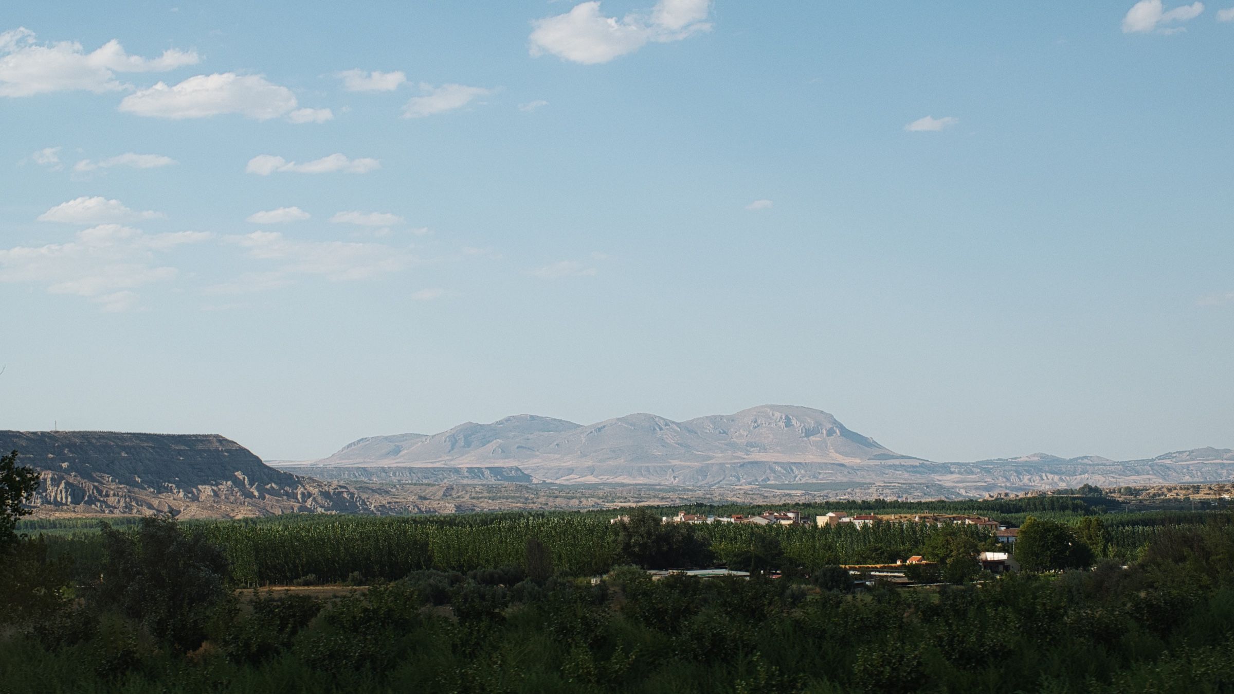
Прямо перед спуском мы остановились на небольшой смотровой площадке.


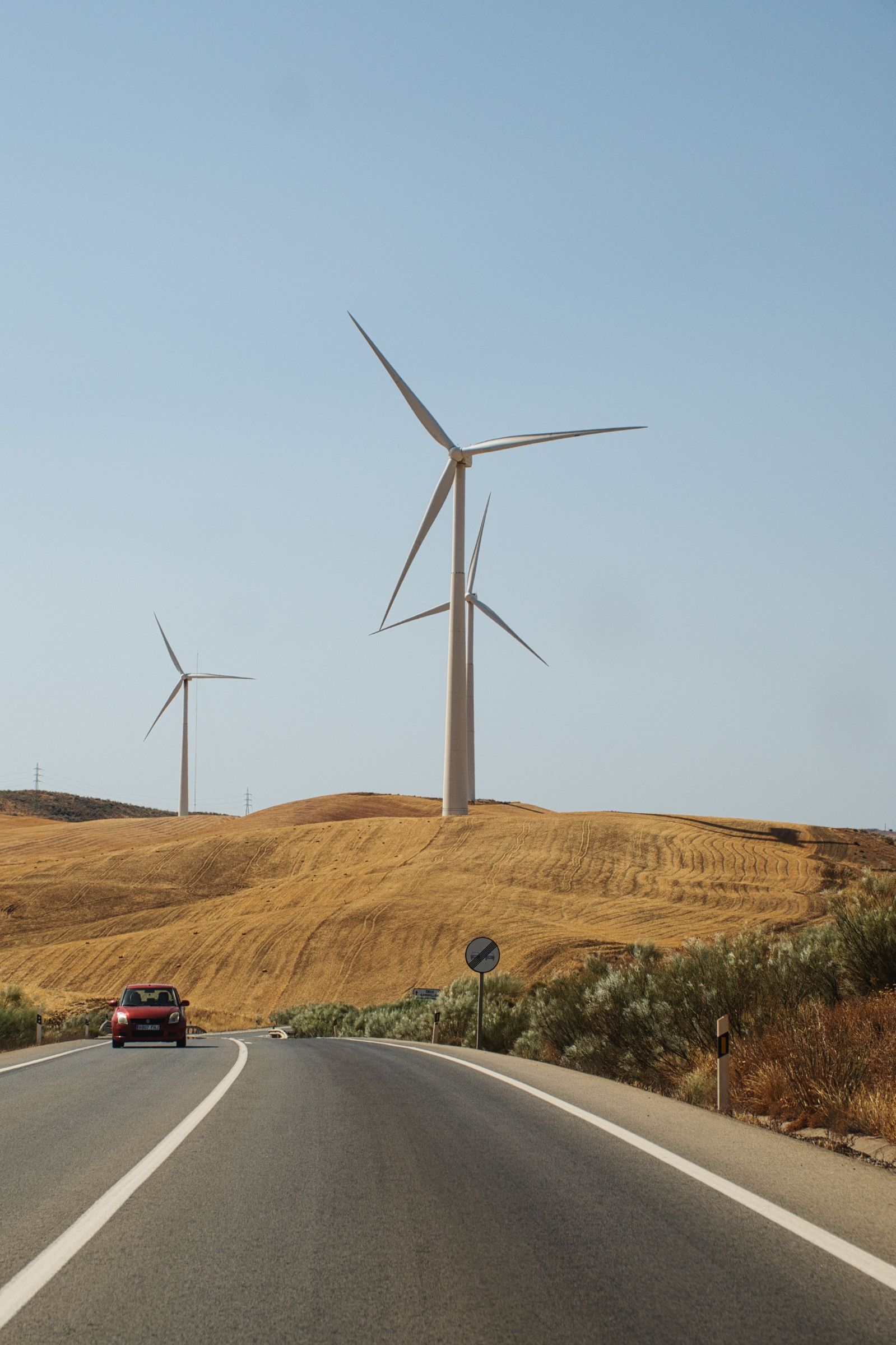
Виды были просто потрясающие. Почти-что 360 градусный обзор и панорамные картины до самого горизонта – огромное плато внизу с множеством маленьких городков и деревень, дорогами, ветряками и солнечными электростанциями, каньоны и скалистые холмы на горизонте.
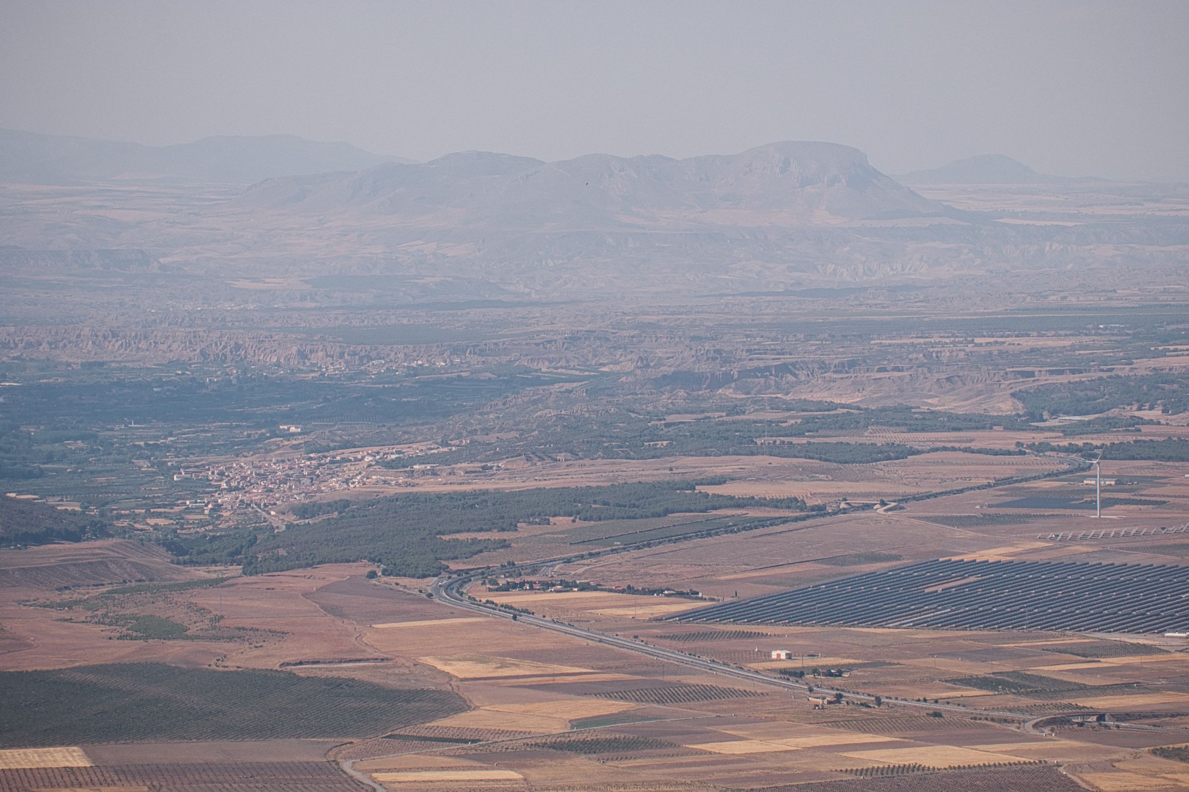
Мы посидели там некоторое время, наслаждаясь видами и попивая кофеек. А затем начали спуск и уже довольно скоро вернулись обратно на магистраль.
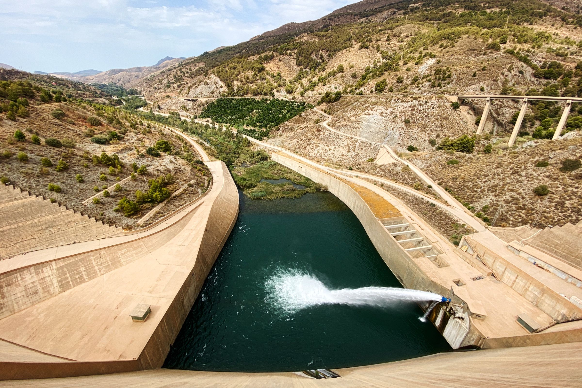
По дороге к Гранаде, мы решили сделать еще один небольшой крюк.
Плотина Абельян располагалась в стороне от основной дороги. Она как и само водохранилище довольно небольшая, но после почти целого дня в пустыне и горах было приятно снова увидеть воду 💧.
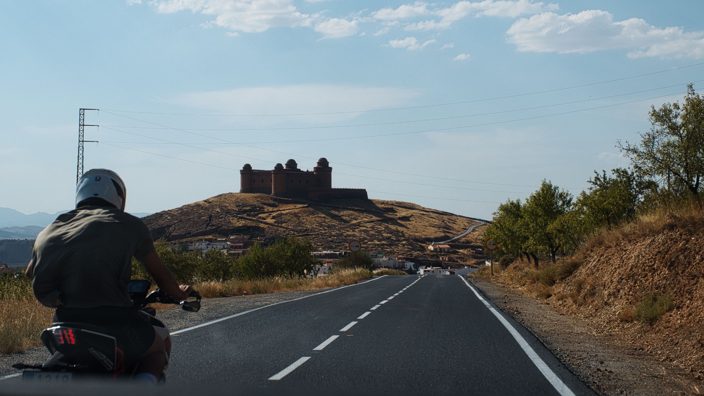
Затем мы продолжили путь и уже буквально через пару часов мы приехали в Гранаду.
Гранада
Что можно сказать о Гранаде... Не знаем. Это был настолько длинный и утомительный день, что мы решили просто остаться в отеле и отдохнуть.
Получилось, что Гранаду в итоге мы так и не посмотрели. На следующее утро, после завтрака, мы выехали из отеля и отправились снова в путь 🚘.
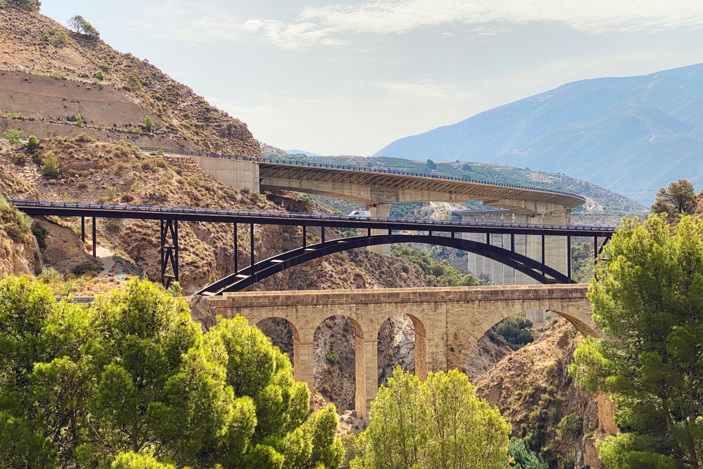
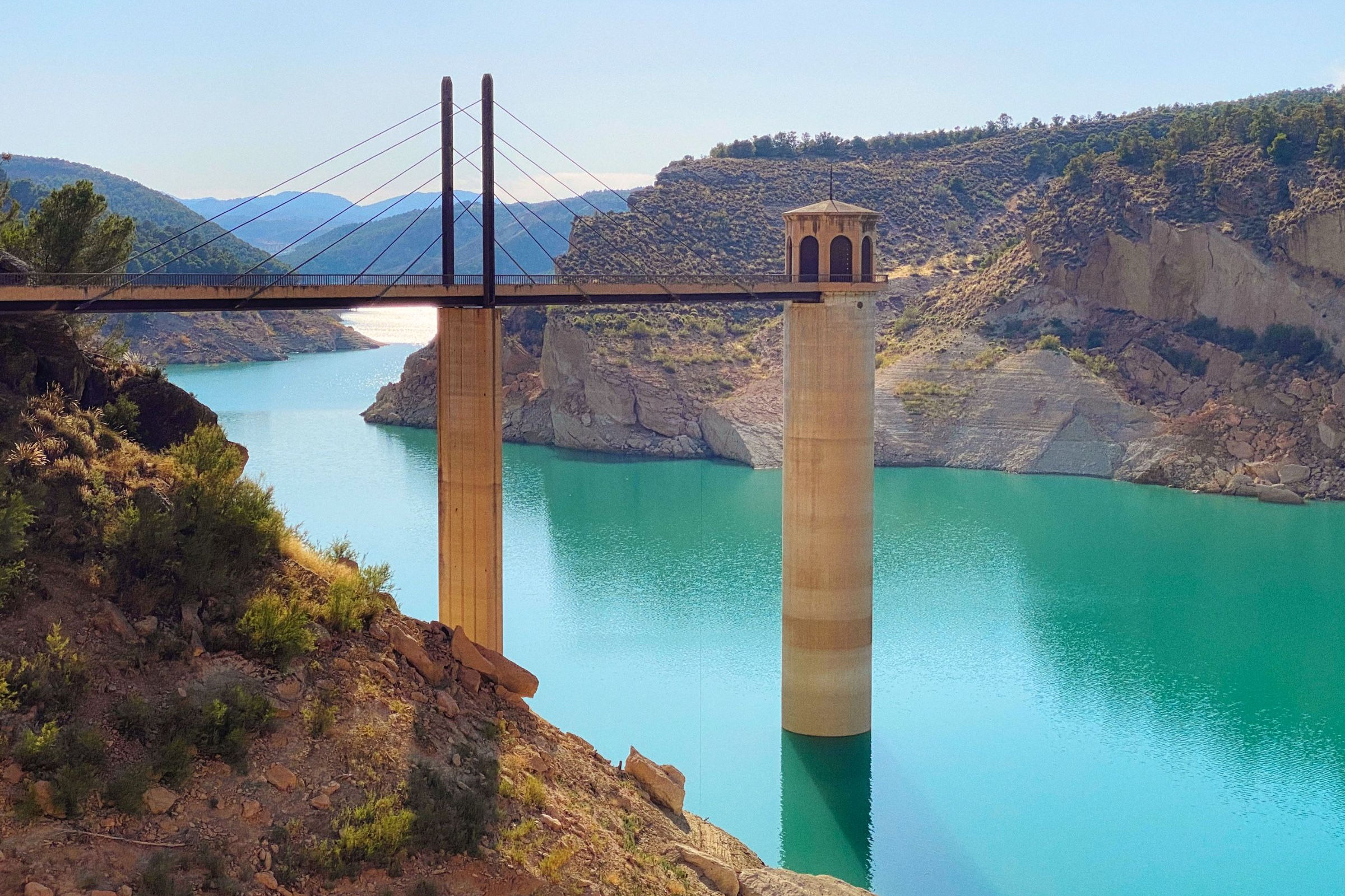
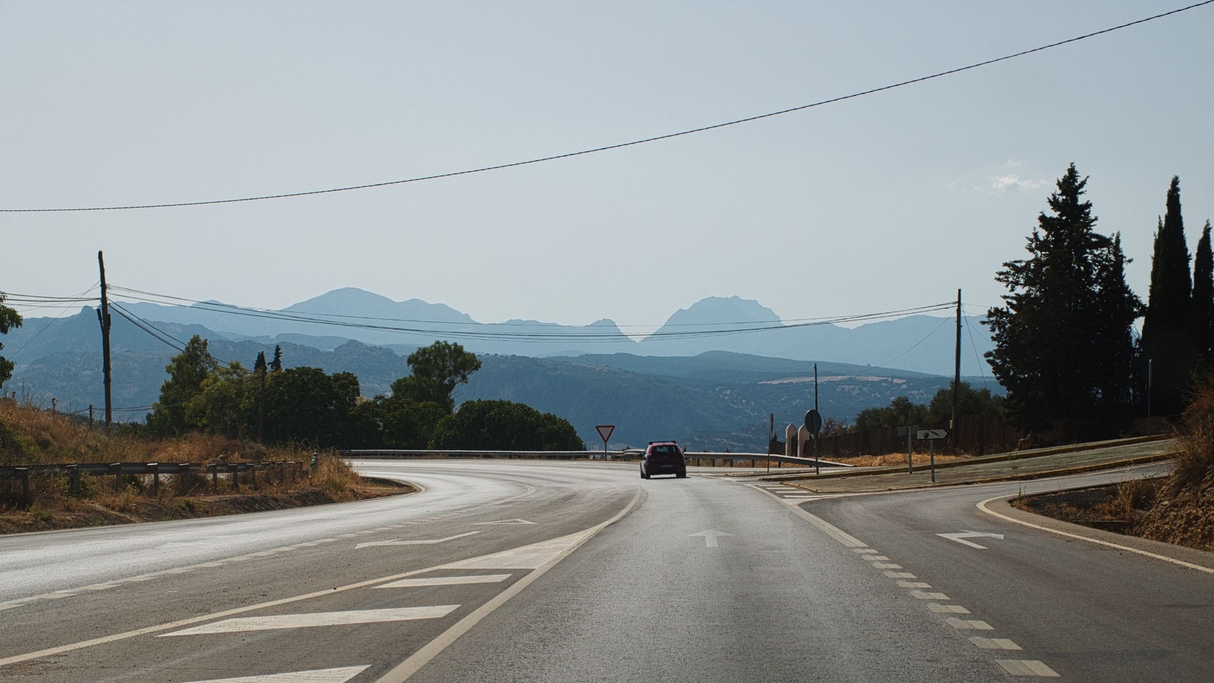
Мы направлялись от гор обратно к побережью, так что весь участок дороги представлял собой очень долгий спуск. Где-то посередине мы сделали короткую остановку на кофе прямо у большого водохранилища на огромной дамбе.

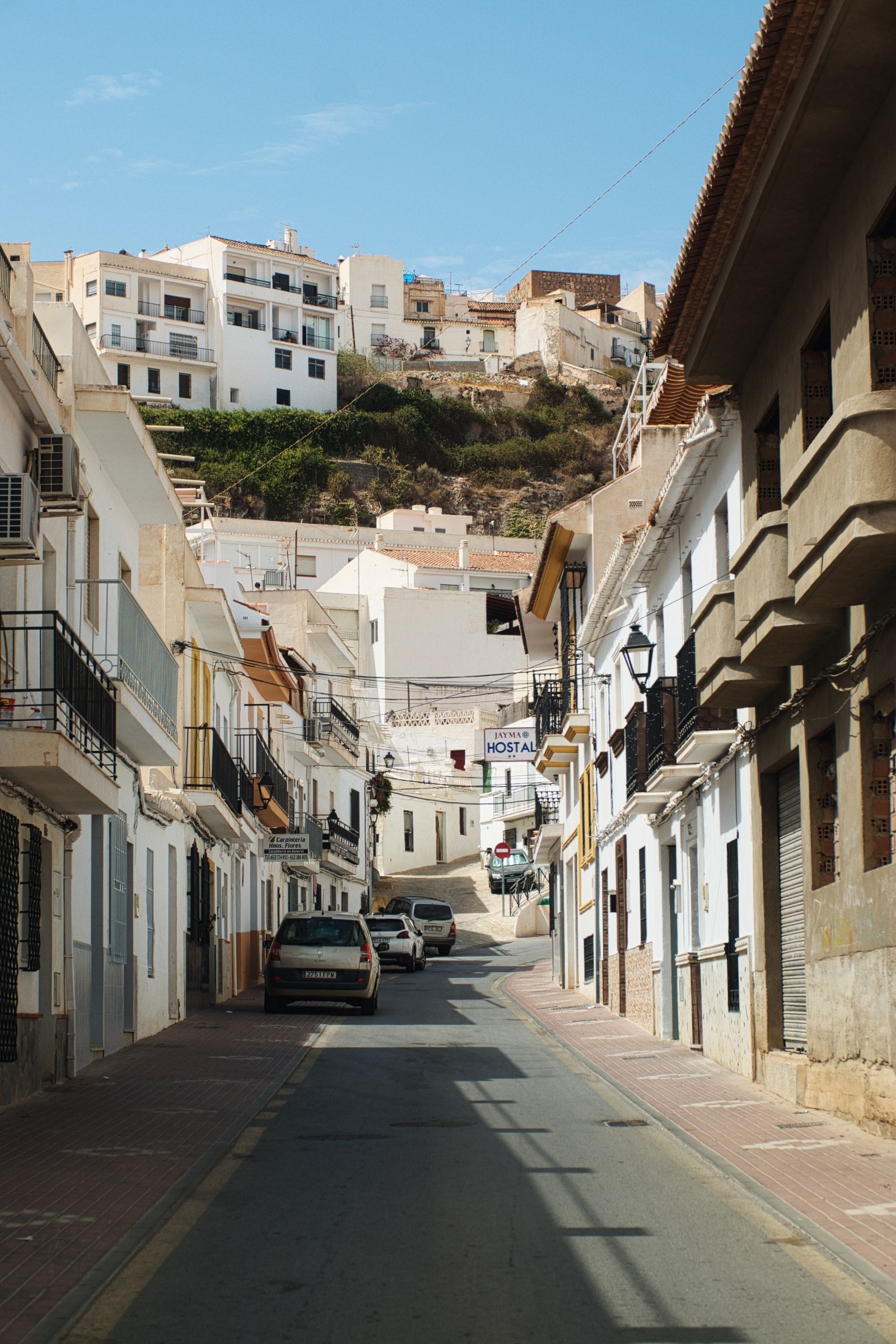
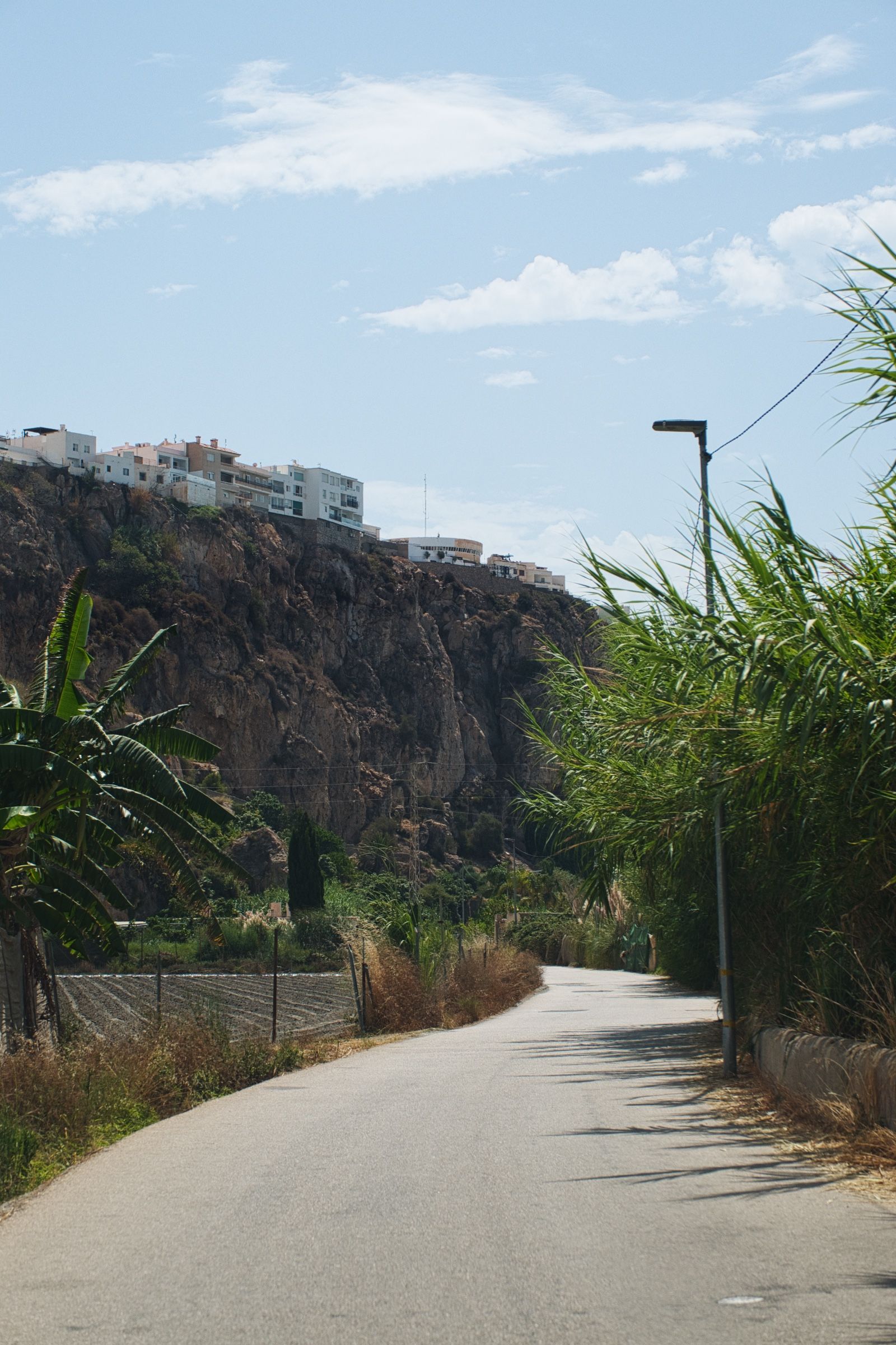
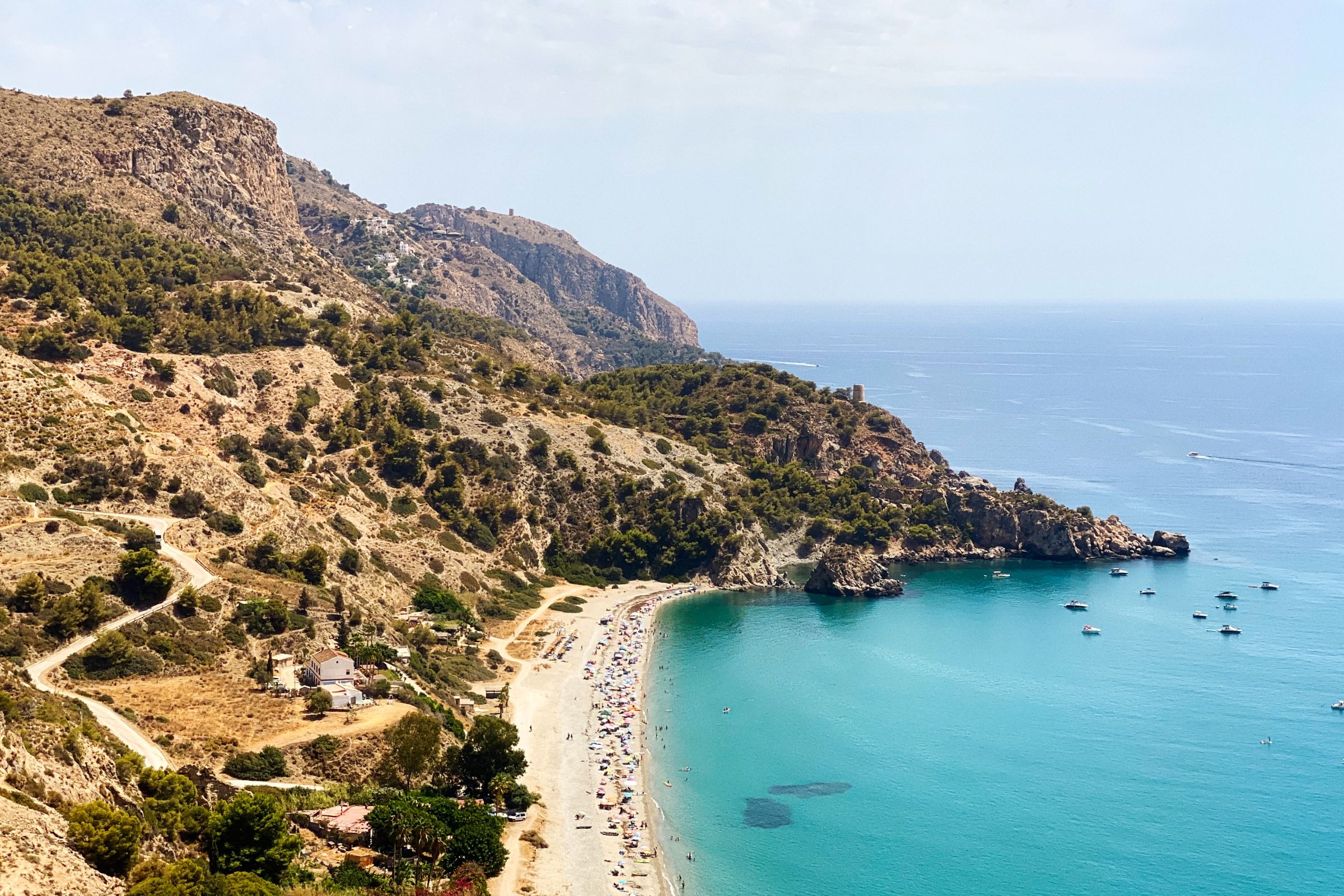
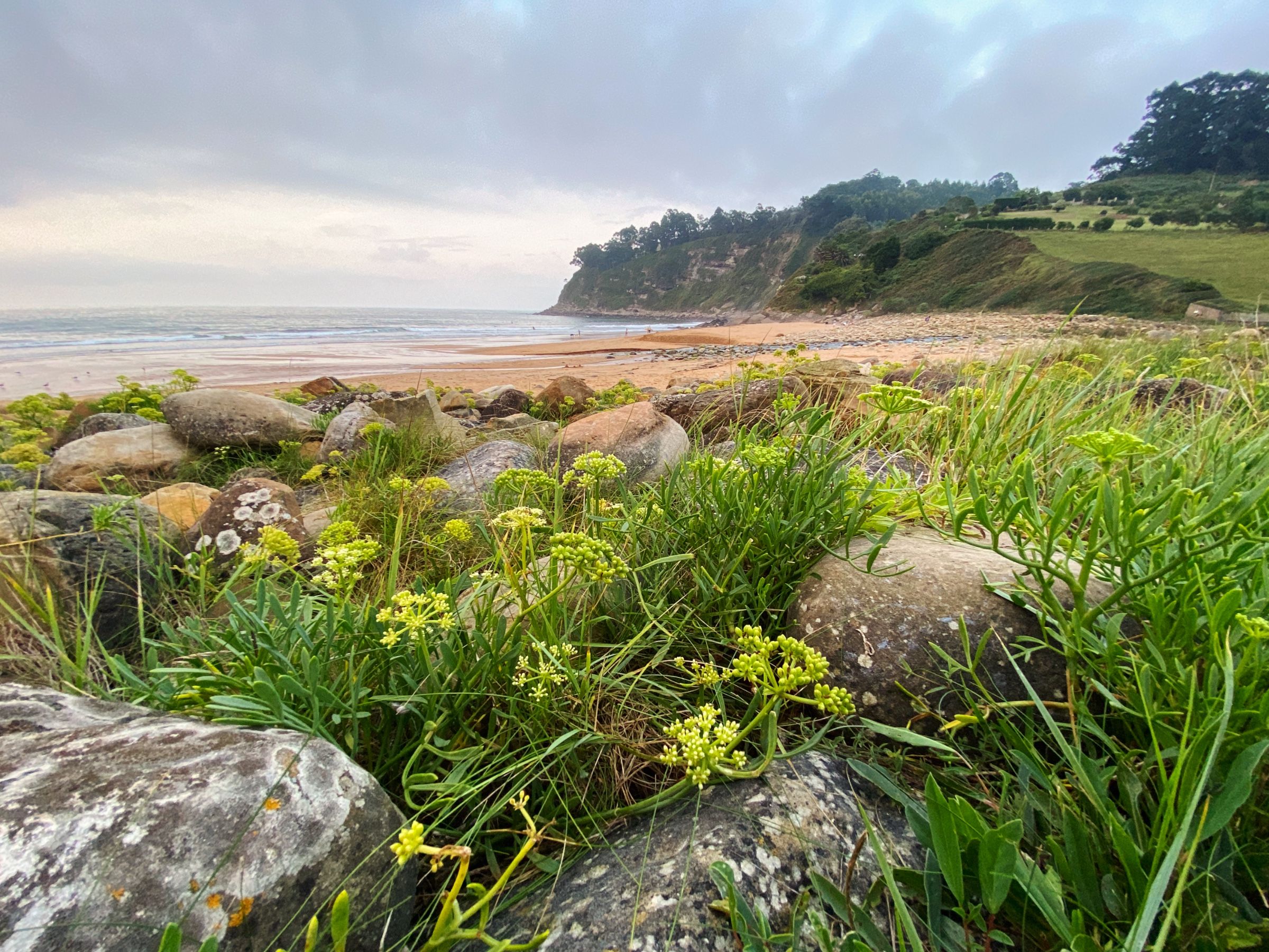
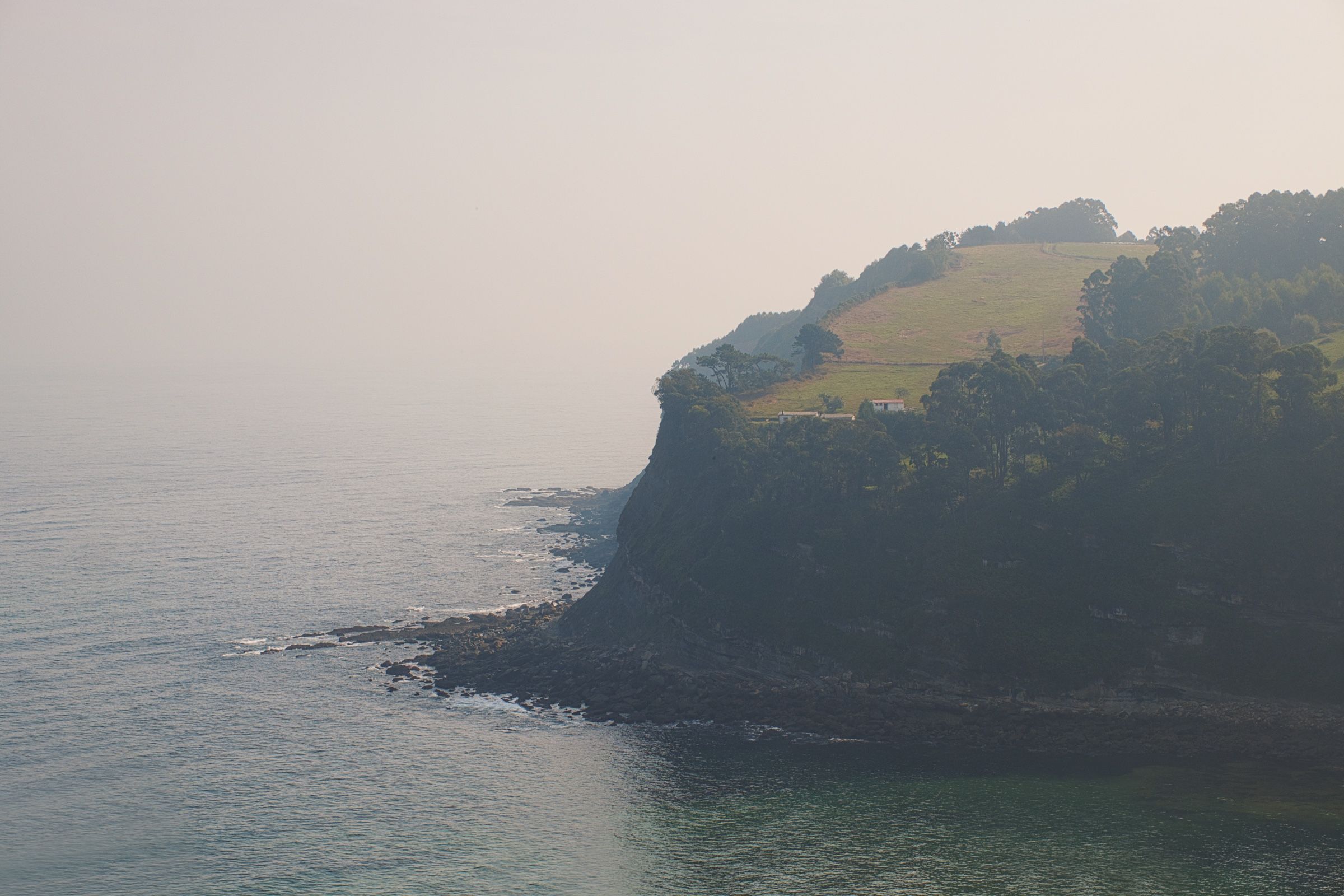
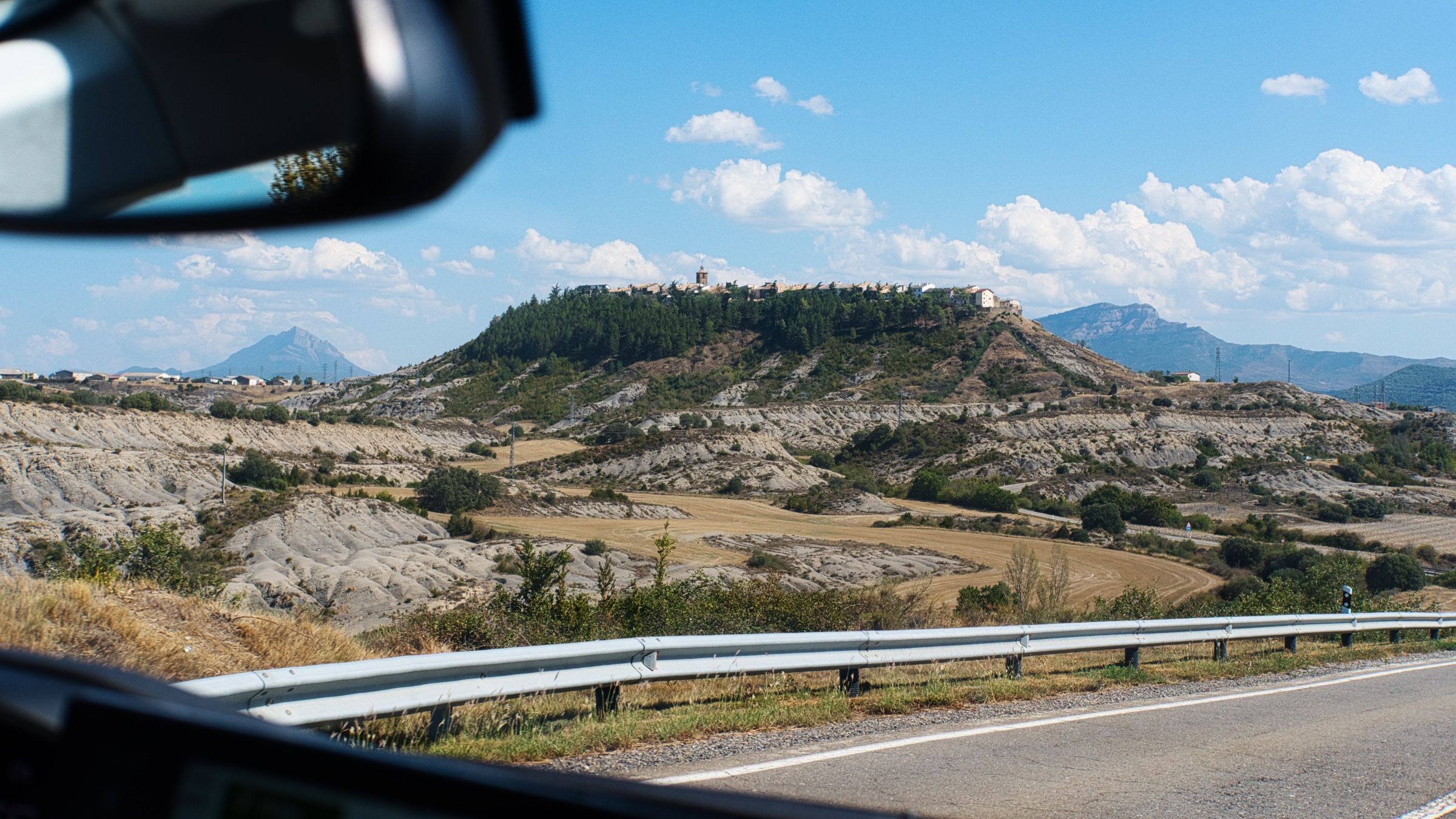
Когда мы почти уже доехали до побережья, мы увидели красивый городок на холме вдалеке. И мы решили, что это было бы отличное место, чтобы пообедать и искупаться.
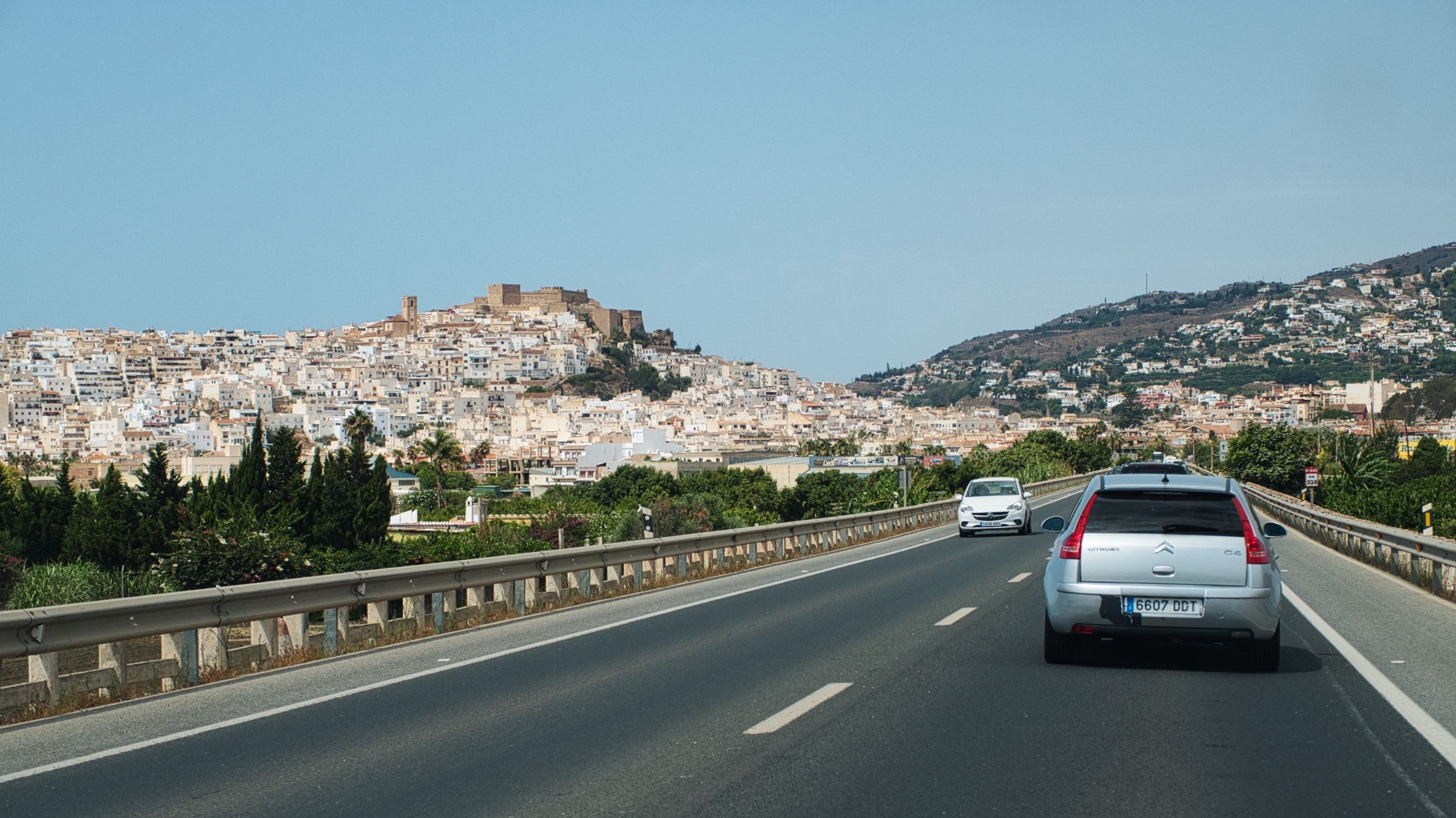
При подготовке к поездке я погуглил самые красивые дороги Испании и нашел крутой гайд от BMW с самыми живописными маршрутами Испании. И сейчас как раз начинался один из этих маршрутов. Это была часть дороги N-340. N-340 – очень длинная дорога, которая тянется от Барселоны до самого юга страны, но именно этот участок особенно красив, потому что он проходит прямо вдоль берега.
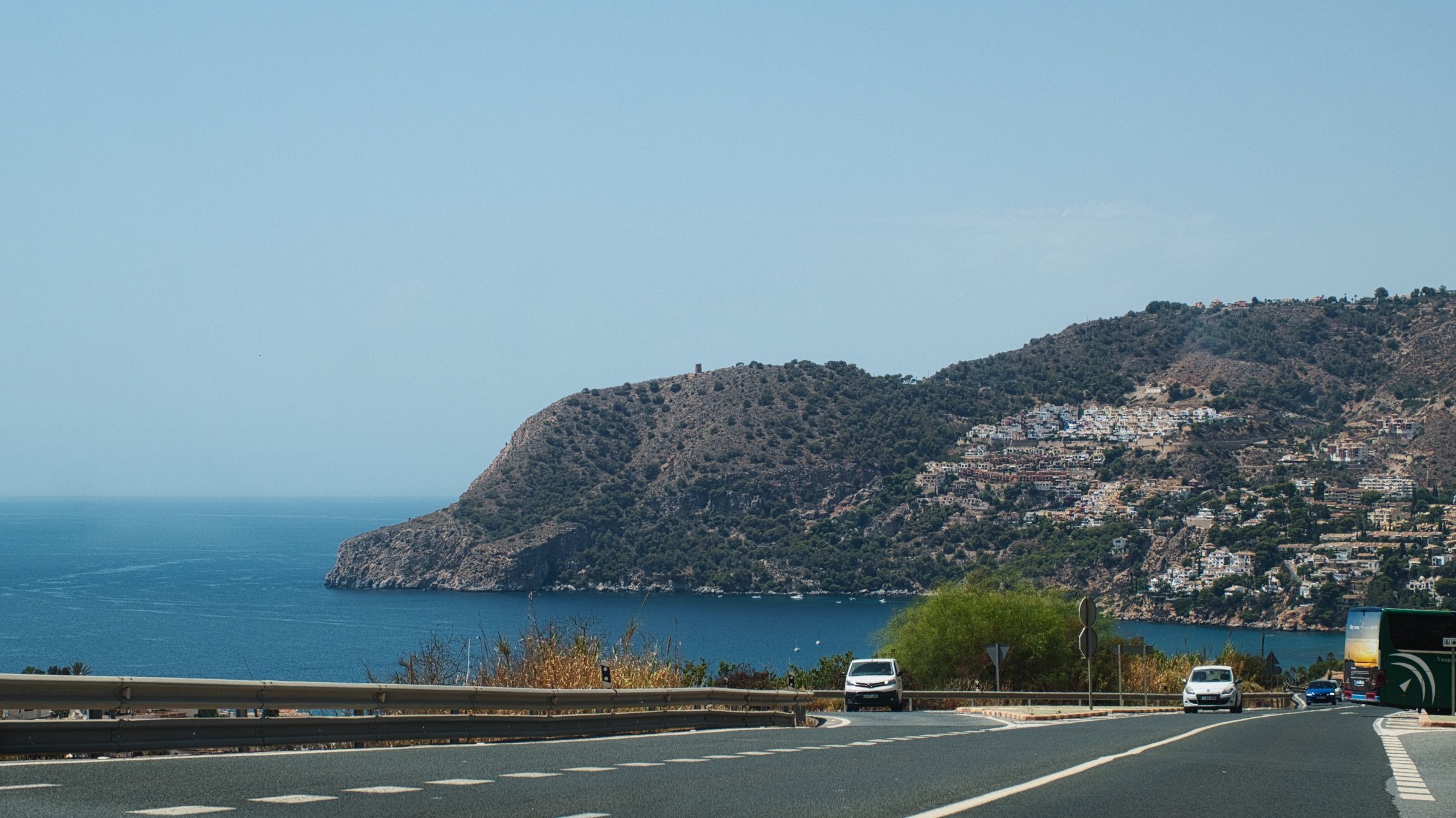
Дорога петляла вдоль моря проходя через множество бухт и маленьких городков. Берег утесами нависал над водой, а внизу периодически появлялись длинные полоски пляжей.

Около Малаги пришло время попрощаться со Средиземным морем, здесь мы свернули и направились вглубь страны.
Пейзаж быстро изменился – теперь мы ехали через поля, холмы и огромные скалы. Спустя некоторое время мы добрались до города Ронда (Ronda).
Ронда
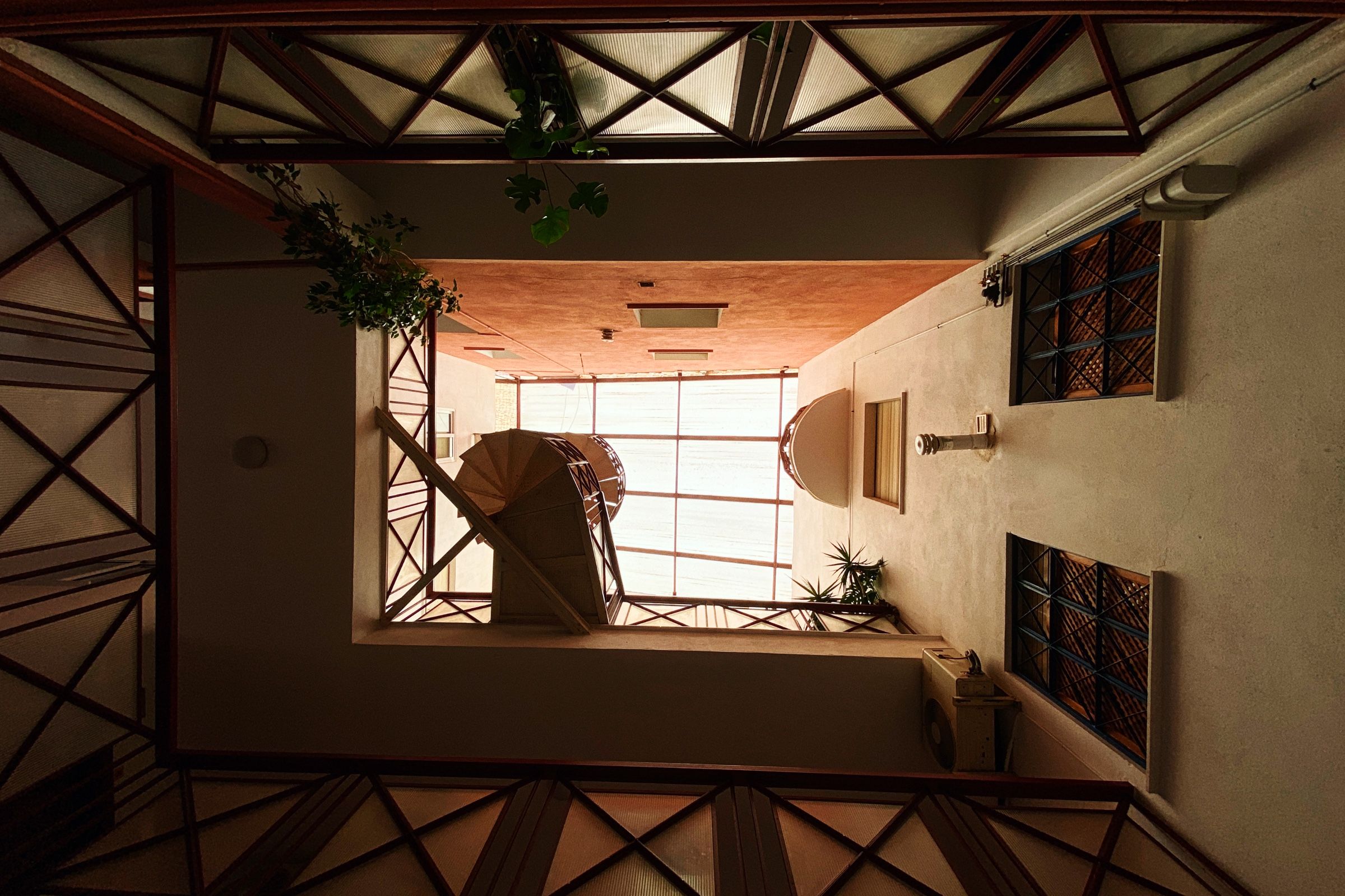
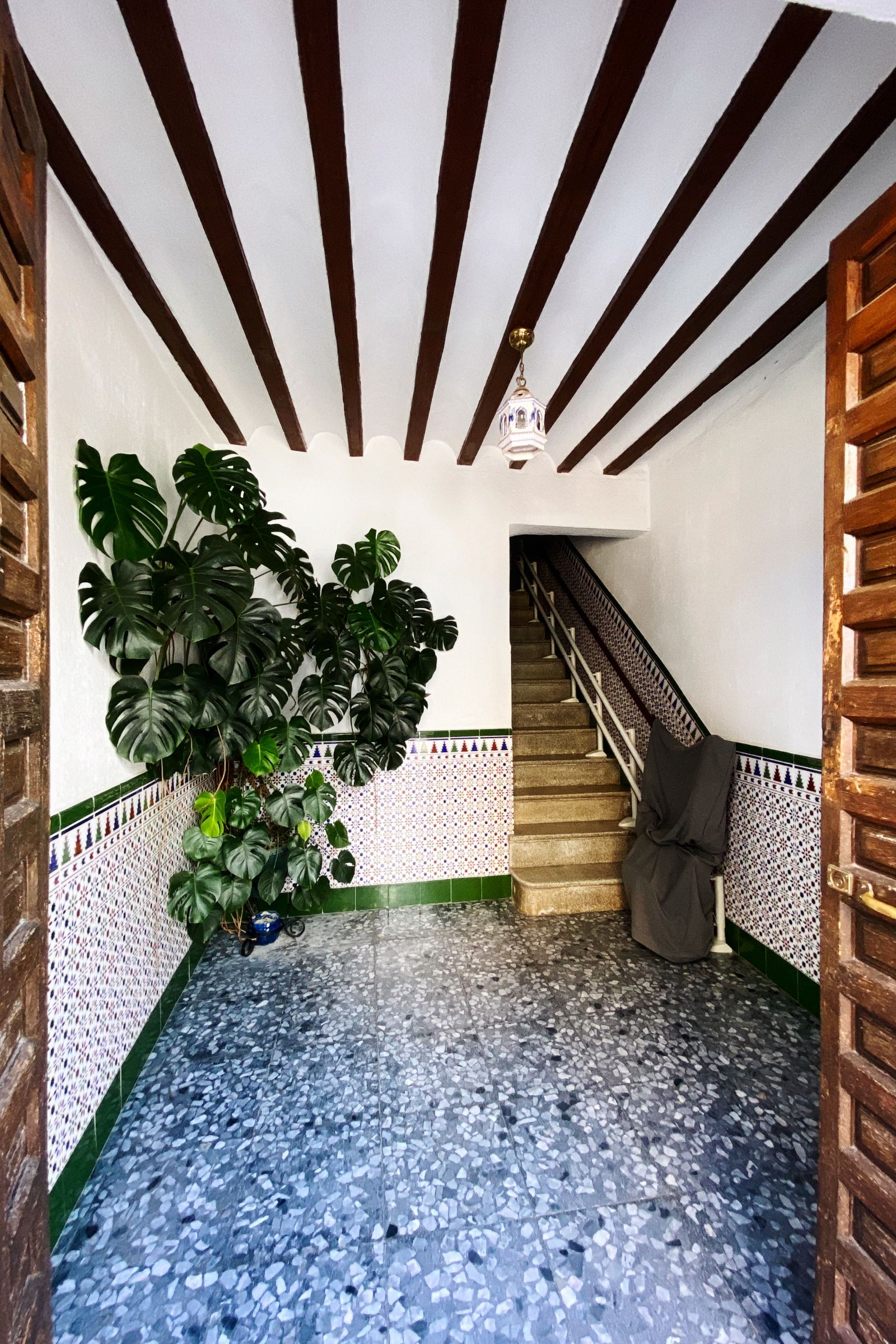
Первым делом мы заселились в небольшой отель под названием San Francisco. Очень классное место с уютной, почти домашней атмосферой.
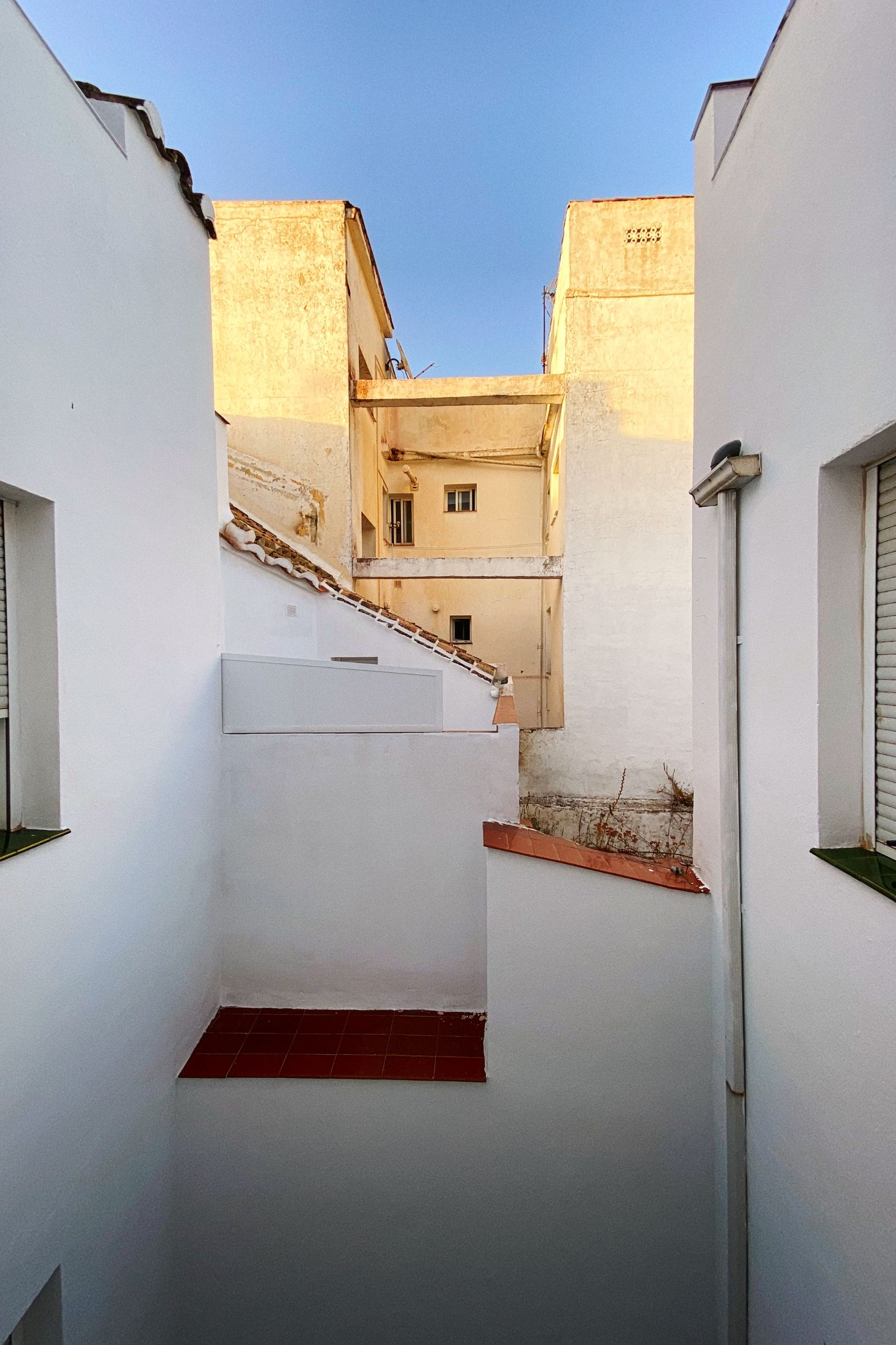
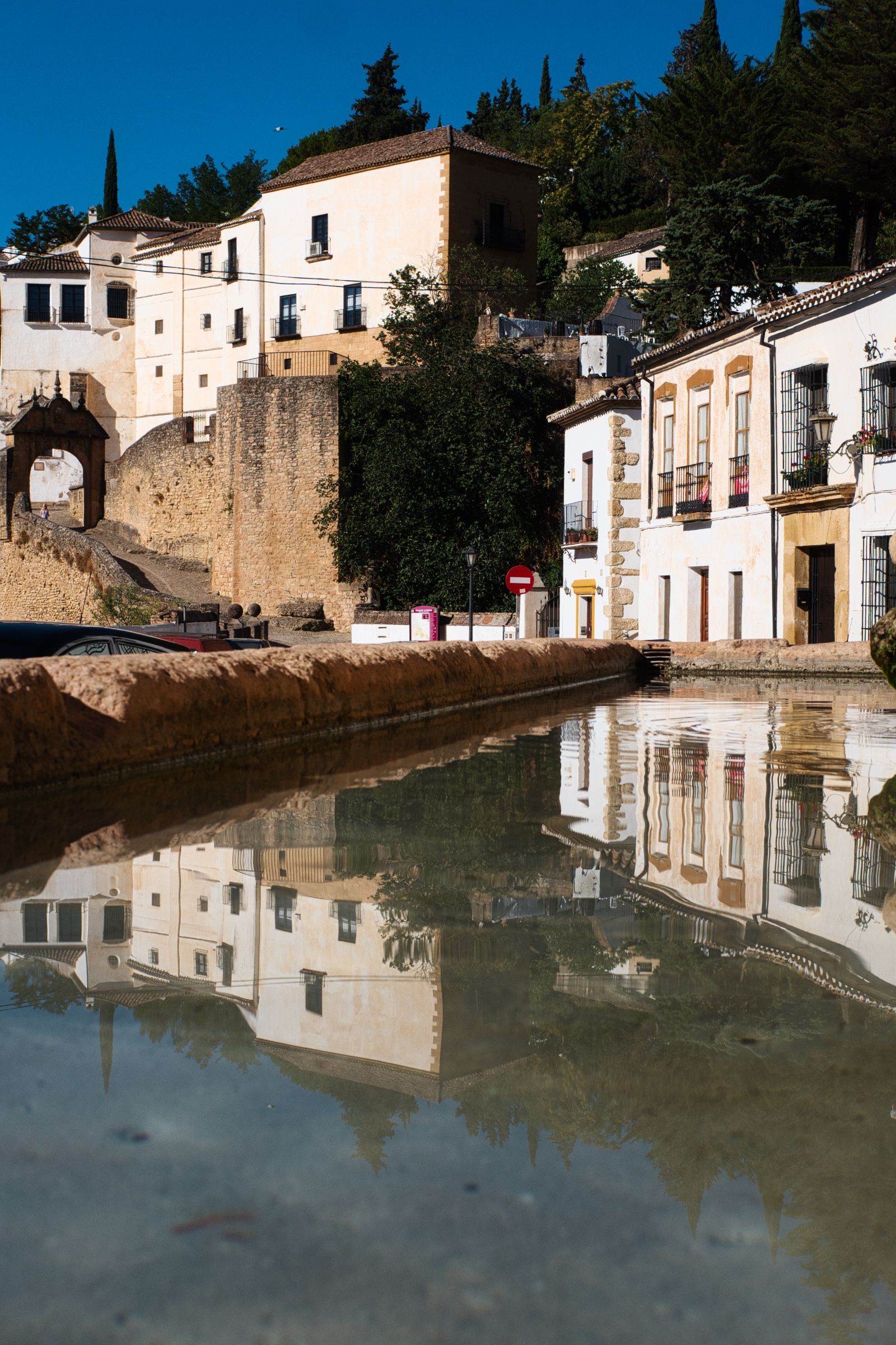
Затем, немного отдохнув, мы отправились гулять по городу. Забыл упомянуть, город стоит на скале, и одна его часть буквально обрывается вниз гигантским утесом.
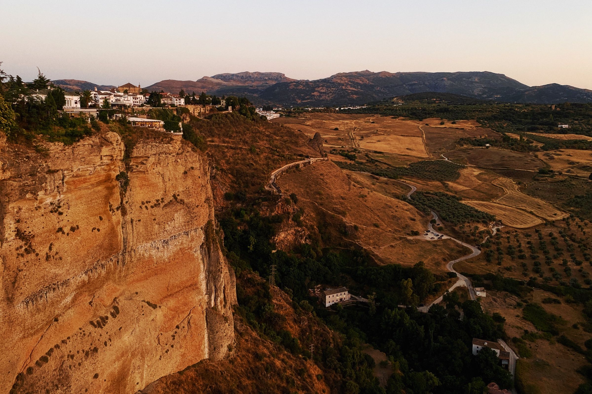

Прямо на краю этого утёса находится парк, где можно в полной мере ощутить высоту и насладиться захватывающими видами окрестностей и самого города.

И, конечно, старый мост, масштабом не уступающий всему остальному в городе. Он перекинут через глубокое ущелье и соединяет две части города.

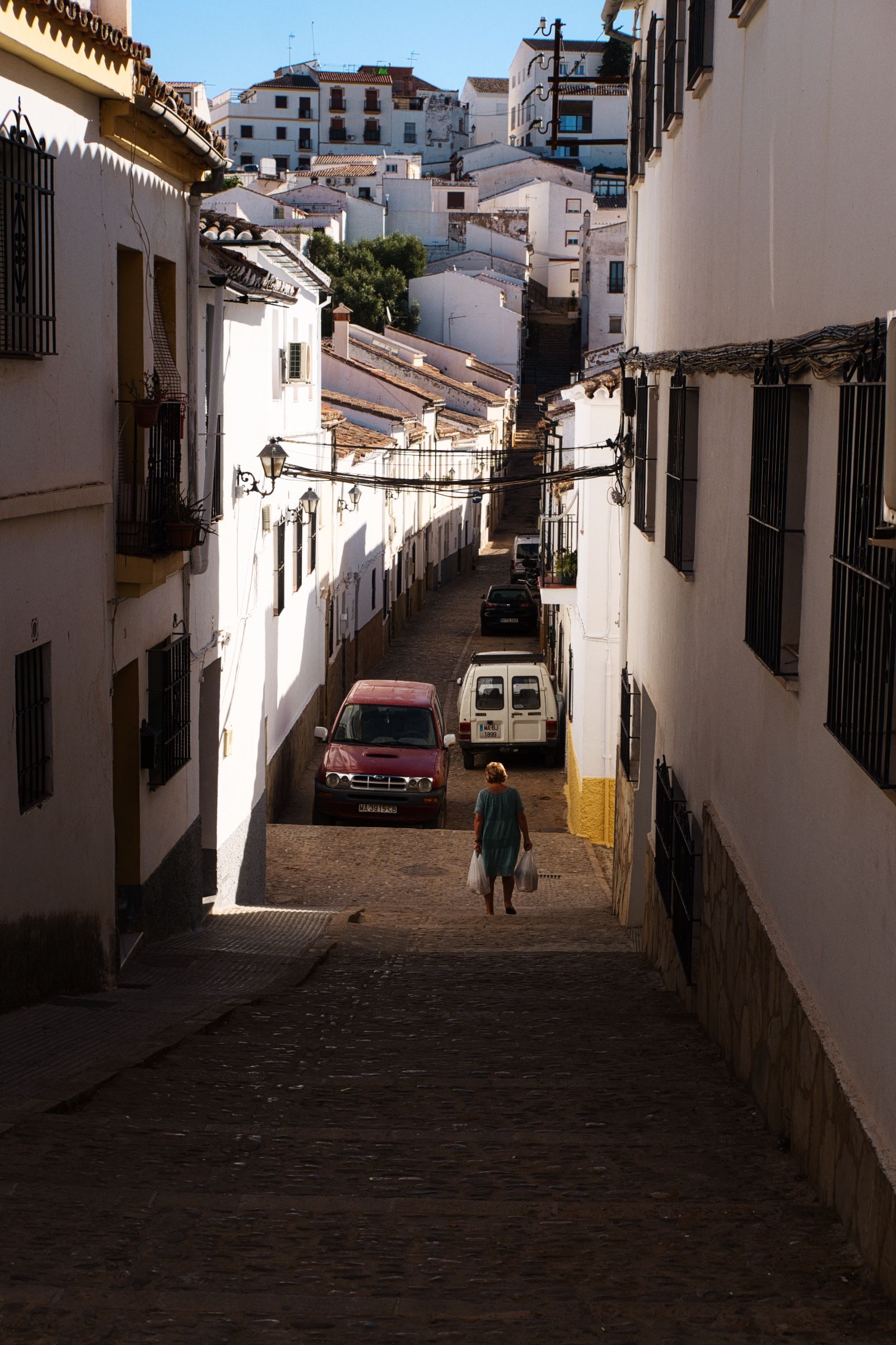
Я еще немного походил и поснимал стрита следующим утром, все таки место было колоритное.

Вобщем, да, Ронда оказалась очень приятным городом. Определённо, одним из лучших мест, которые мы посетили за время этого путешествия.
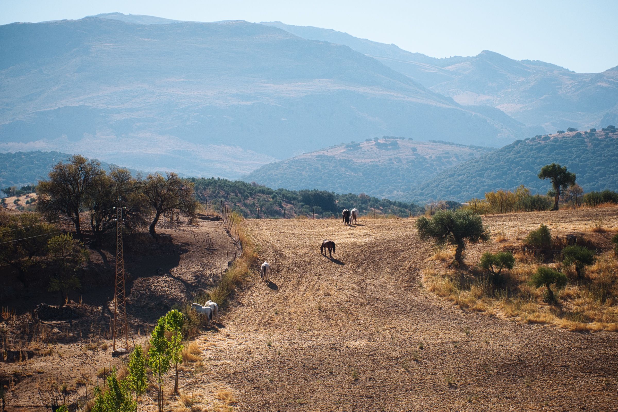
Но нам нужно было двигаться дальше. Наша следующая цель была всего в 130 км, совсем рядом. Так что день обещал быть лёгким.


Первая часть пути пролегала через холмы.
Но затем пейзаж изменился: холмы уступили место бескрайним полям, дорога выровнялась и расширилась. Мы прибавили скорость и вскоре добрались до Севильи (Sevilla).
Севилья
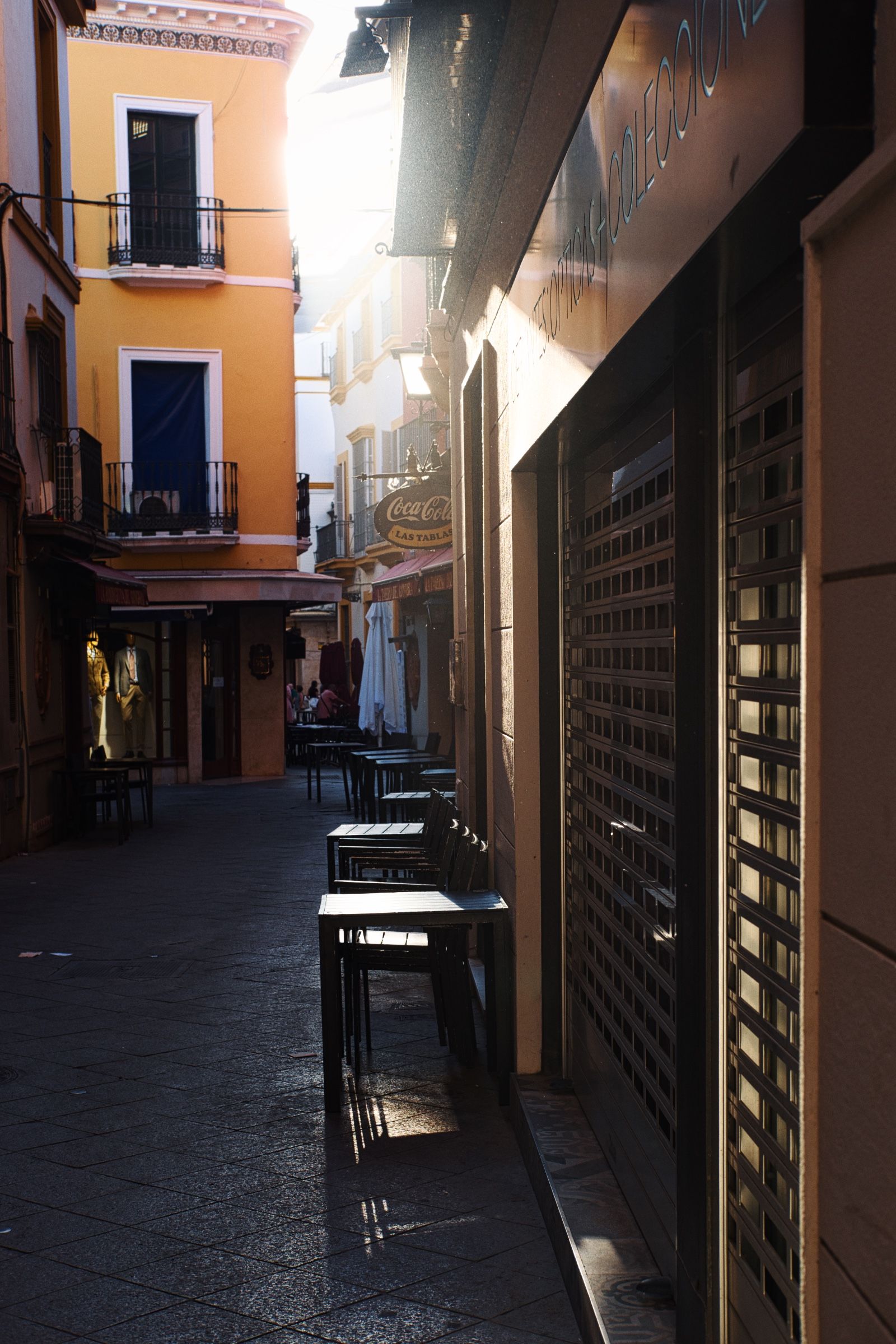
Было уже за полдень, и на улице стояла сильная жара. Все, естественно, было закрыто, на улицах почти никого не было, шла сиеста.
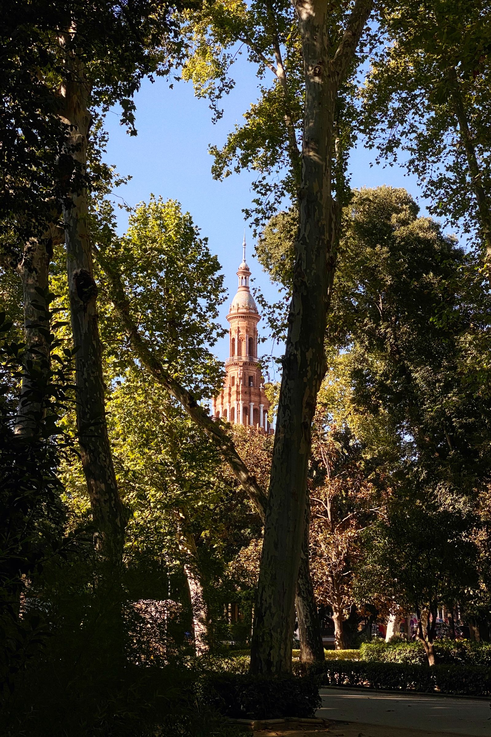

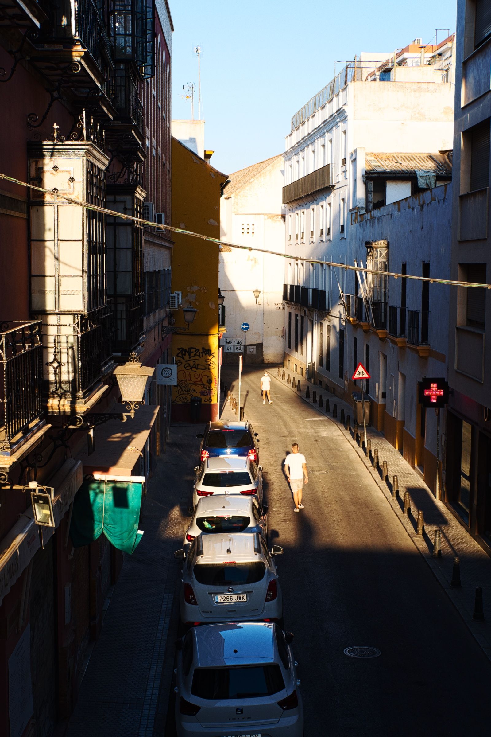
Но через несколько часов жара спала, и мы наконец смогли пойти погулять по улицам Севильи.

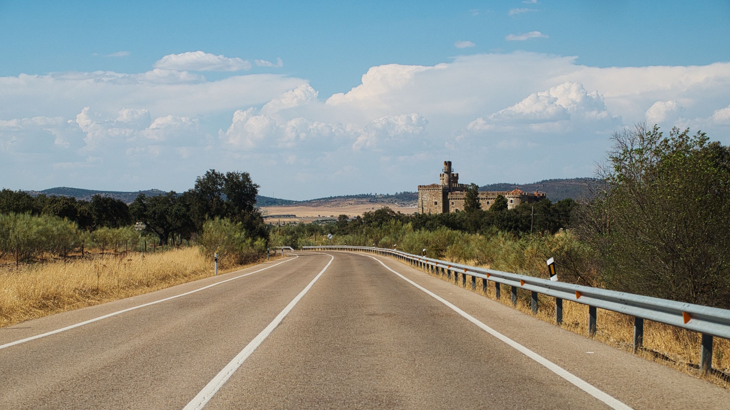
Ruta de la Plata 🏛️
На следующее утро, после плотного завтрака и кофе, мы снова выдвинулись в дорогу. Но дорога в этот раз была особенной.
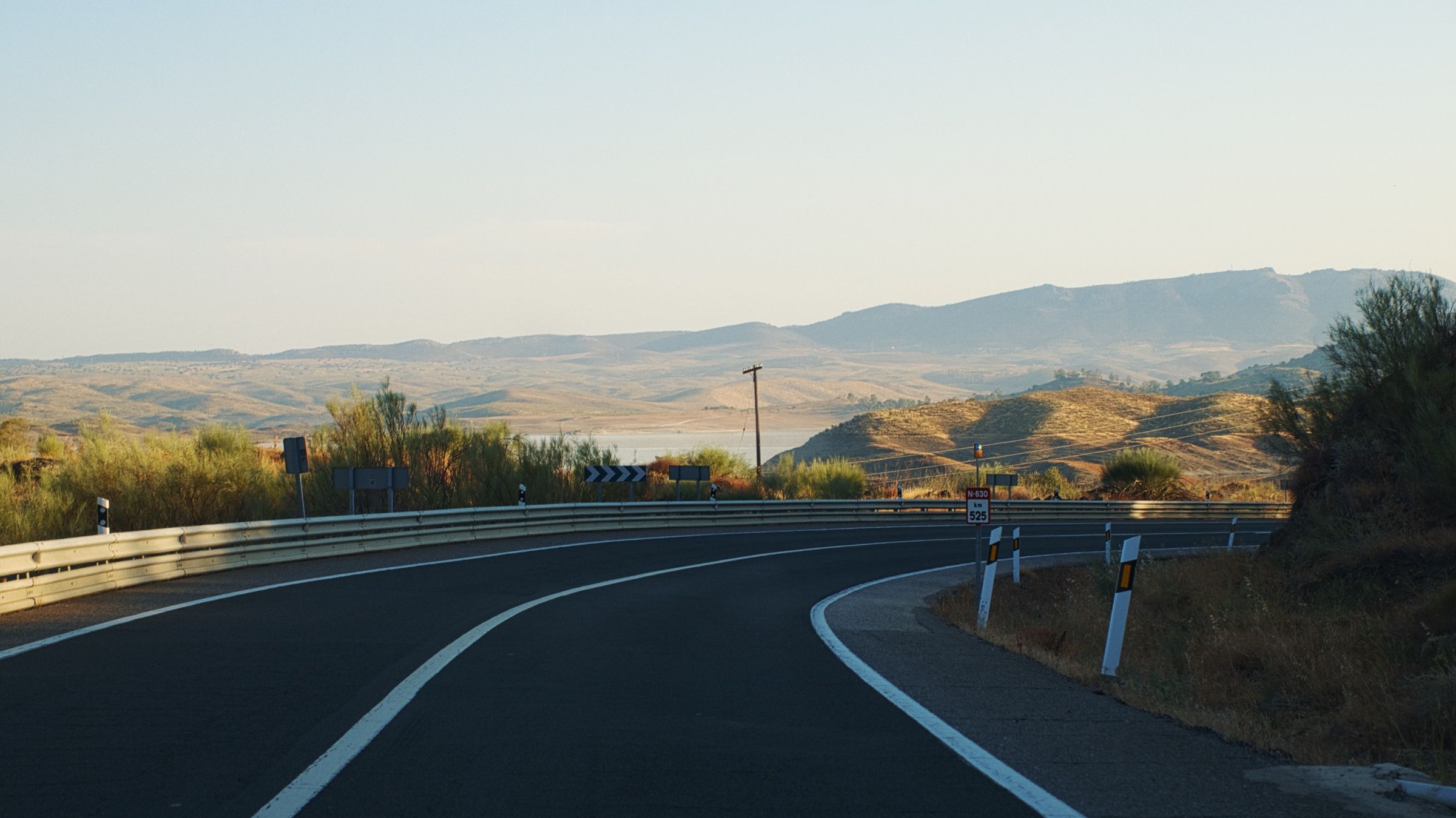
Официально она называется N-630, но за этим номером скрывается историческая дорога, известная как Via de la Plata или Ruta de la Plata (рус. Серебряный путь).
Это древний торговый и паломнический путь, который пересекает западную часть Испании с севера на юг. N-630 (так же как и автомагистраль A-66) следует практически полностью вдоль этого пути, и многие участки дороги остались буквально такими же, как они были две тысячи лет назад. Дорога очень популярна среди путешественников, паломников и велосипедистов.
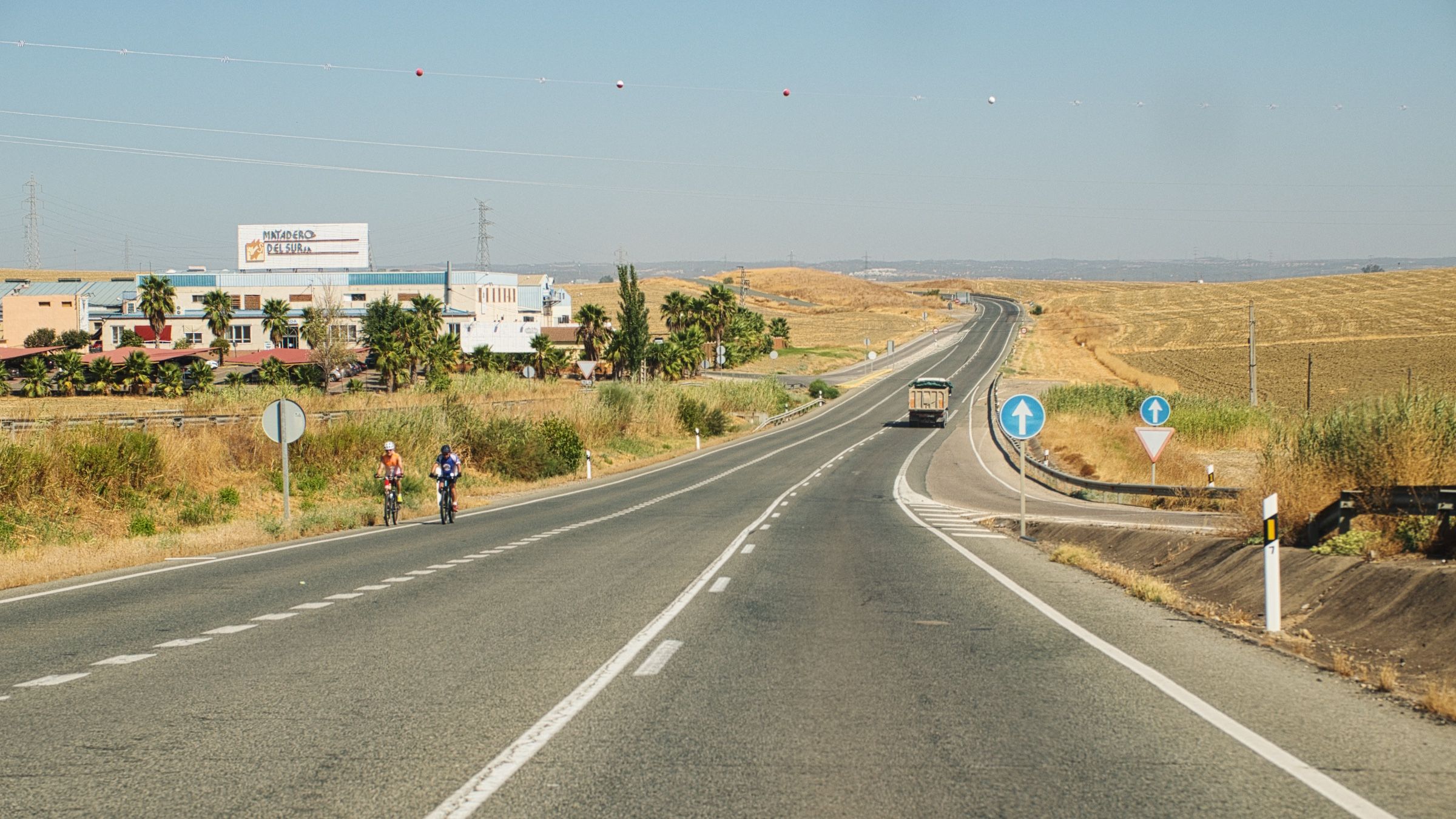
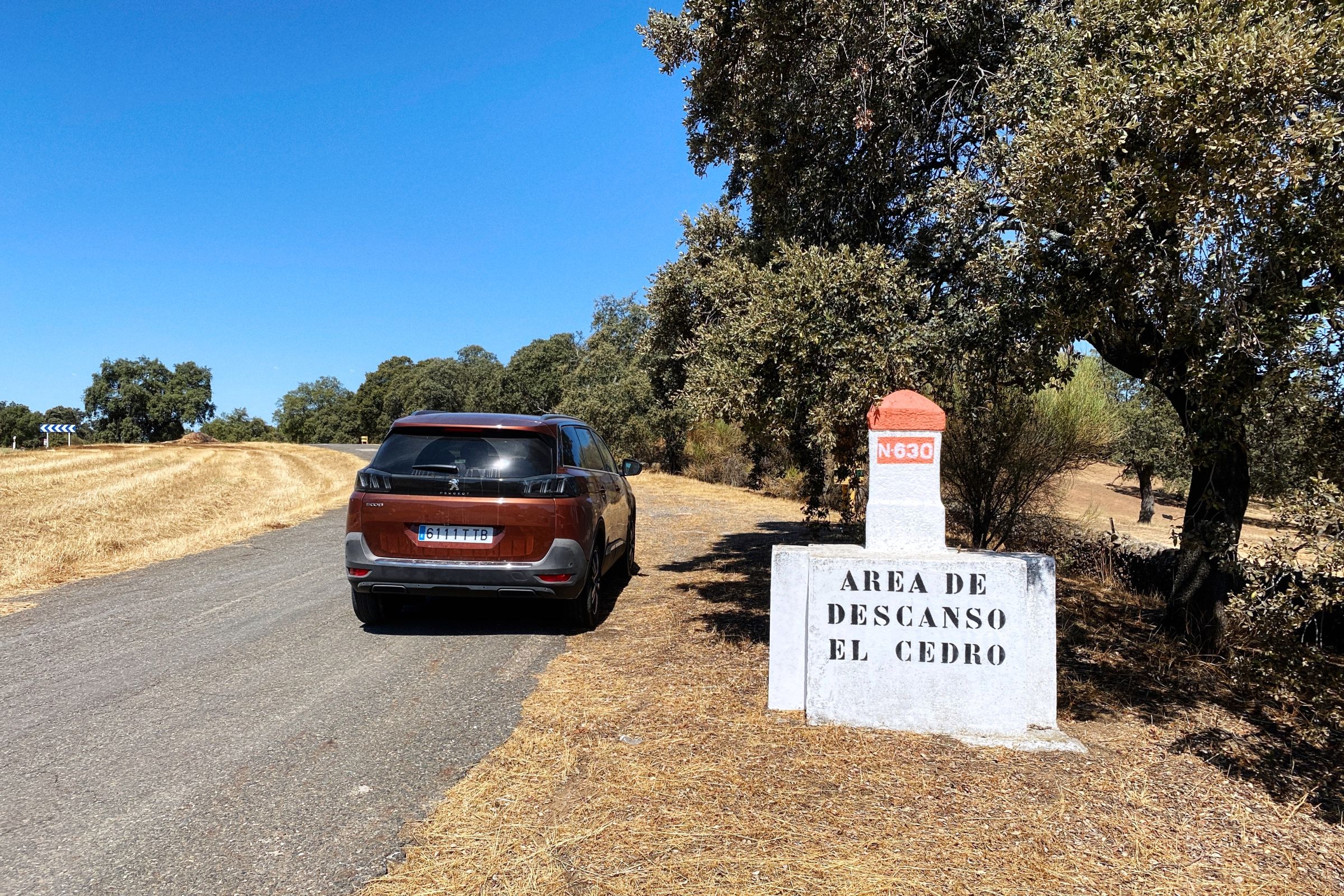
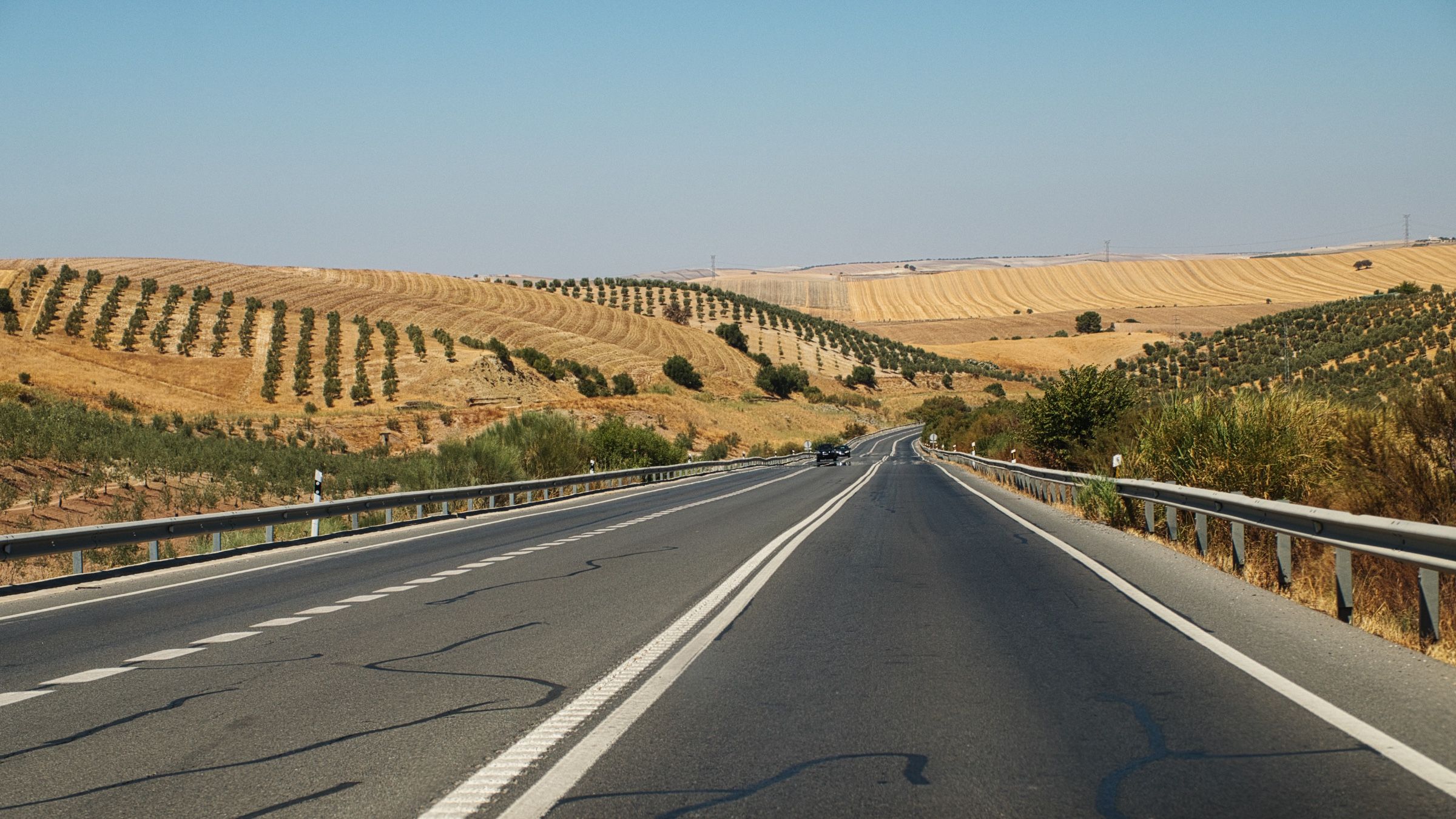
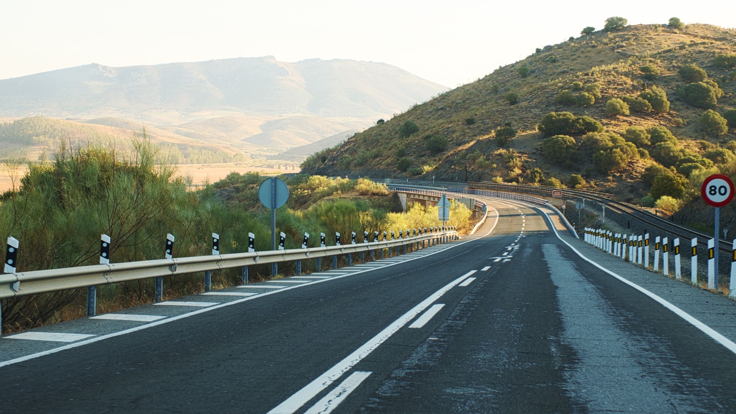
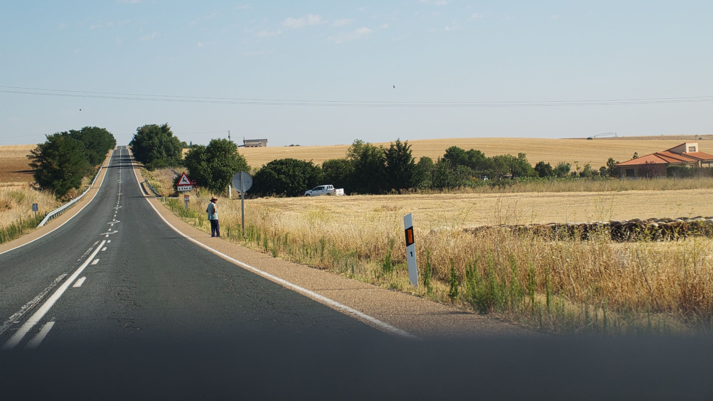
Сразу после Севильи дорога идет среди равнин и холмов. По пути даже встречаются старые места для отдыха со специально посаженными деревьями, дающими тень в которой можно укрыться от палящего солнца.

Спустя где-то час, после многих дней путешествия по Андалусии, мы наконец-то покинули этот регион и въехали в Эстремадуру.

Мы также определились с нашими планами на ночь. Мы нашли отличное место для палатки (по крайней мере так оно выглядело на карте) на берегу большого водохранилища и выставили его как конечную цель на тот день.
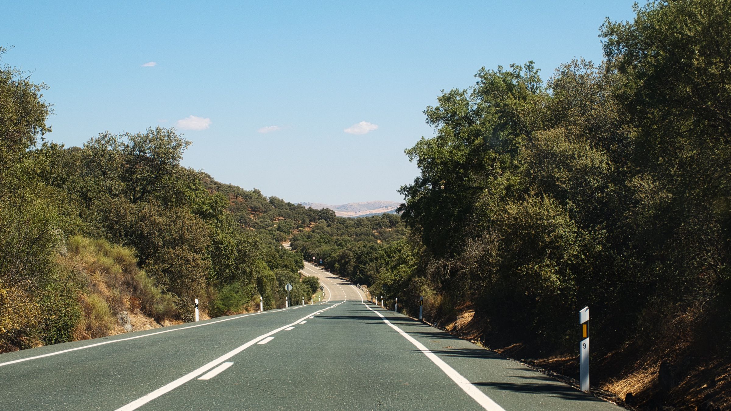

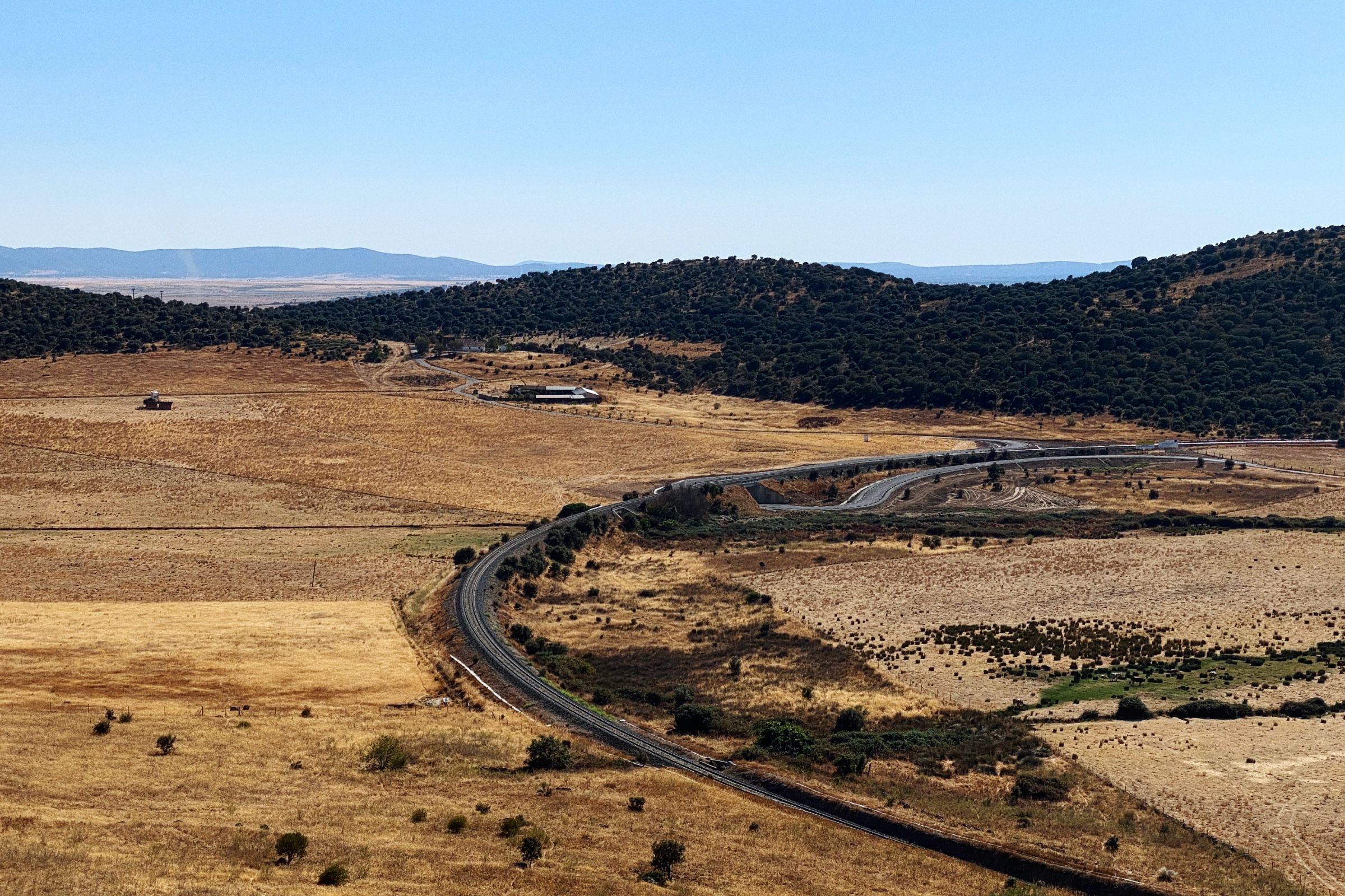
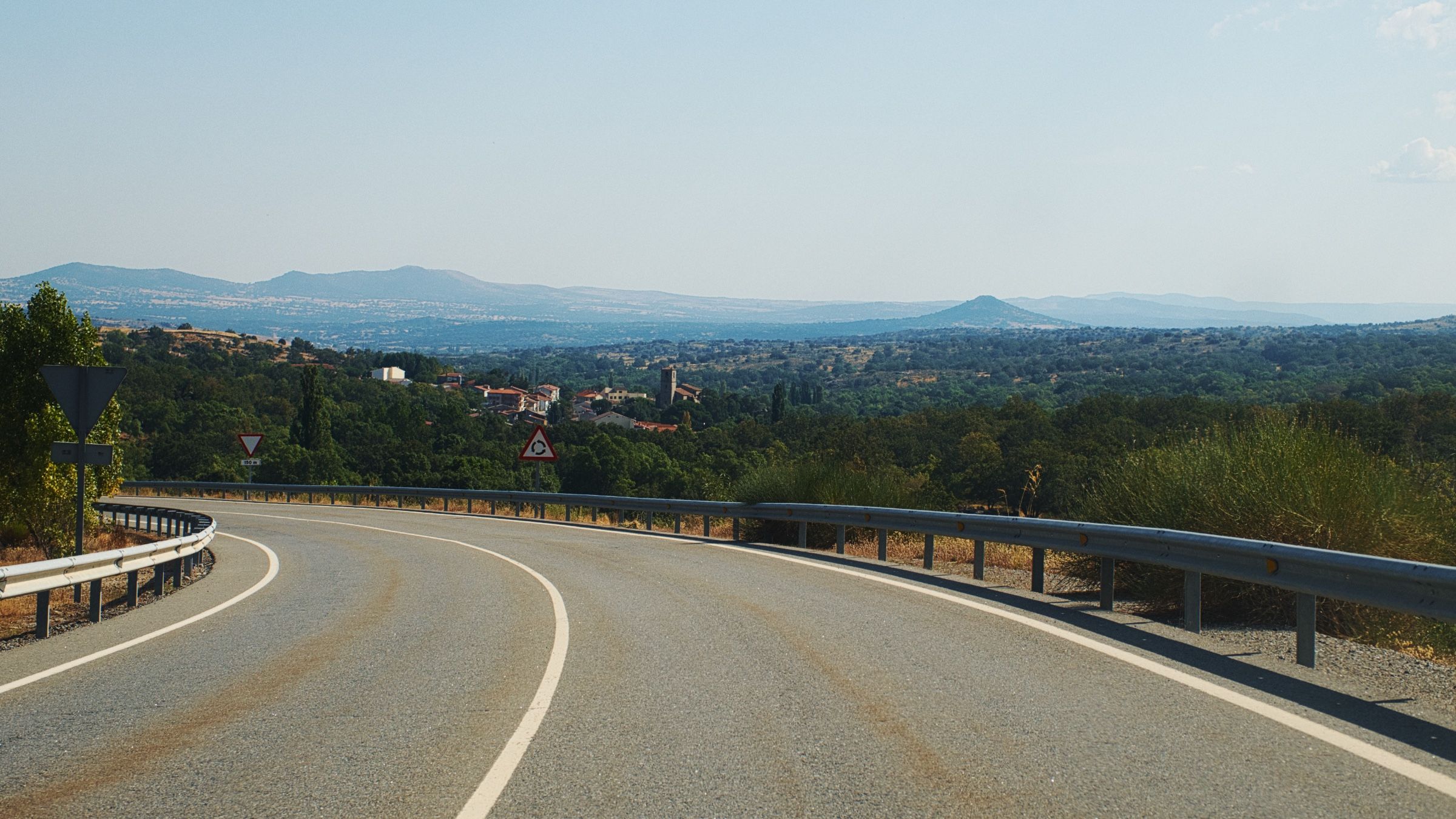
Так мы и ехали. Поля и равнины сменялись холмами, потом холмы снова уступали место равнинам, и так по кругу. Это может звучать скучно, но время от времени дорога за очередным поворотом открывалась таким потрясающим видом, что в этот момент мы понимали, оно того стоило.
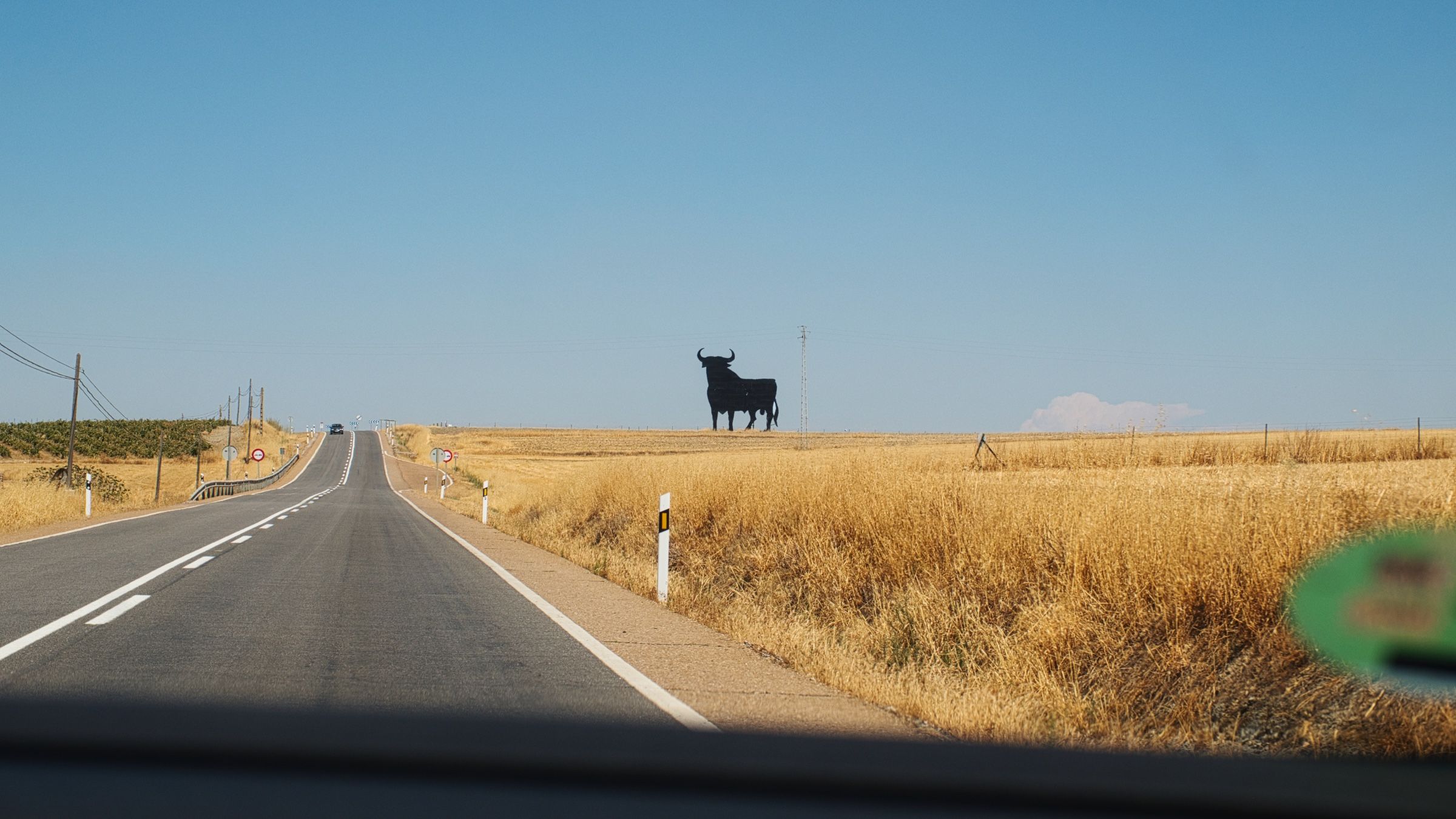
В какой-то момент мы заметили огромный силуэт быка на горизонте. Такой силуэт называется "Бык Осборна" или "El Toro de Osborne" по-испански. И их довольно много в Испании. Обычно их устанавливают вдоль дорог и на вершинах холмов. Сначала это была просто рекламная акция для испанской компании Osborne Group, но потом они стали целым культурным феноменом.
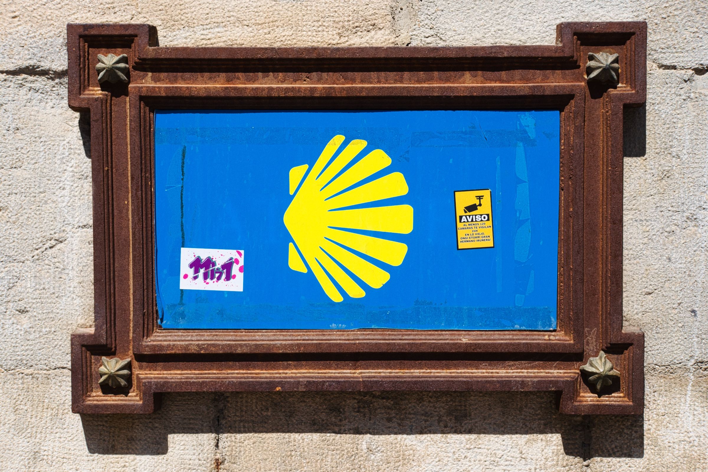
Двигаясь по N-630, мы обратили внимание на необычный дорожный знак – желтую ракушку на синем фоне. Это эмблема "Camino de Santiago", сети паломнических маршрутов.

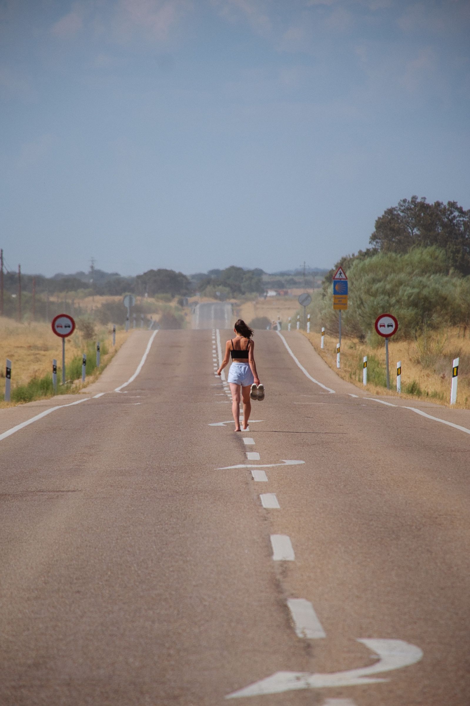
На самом деле, его можно встретить много где в Европе. Если присмотреться, вы увидите этот знак во многих городах и на многих пеших и вело маршрутах в самых разных странах. И все они указывают и ведут к одной цели, к городу Сантьяго-де-Компостела (Santiago de Compostela) на северо-западе Испании.
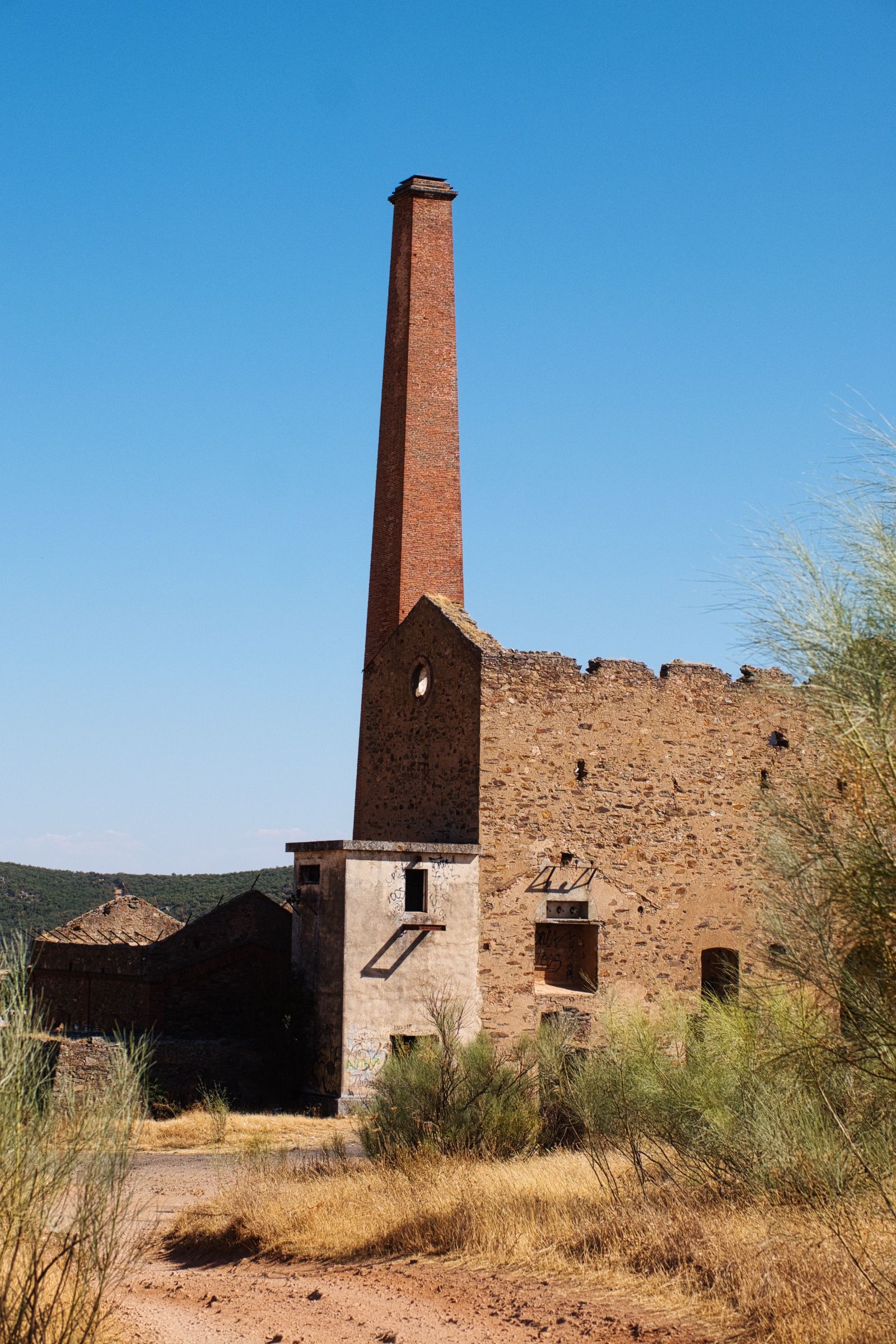
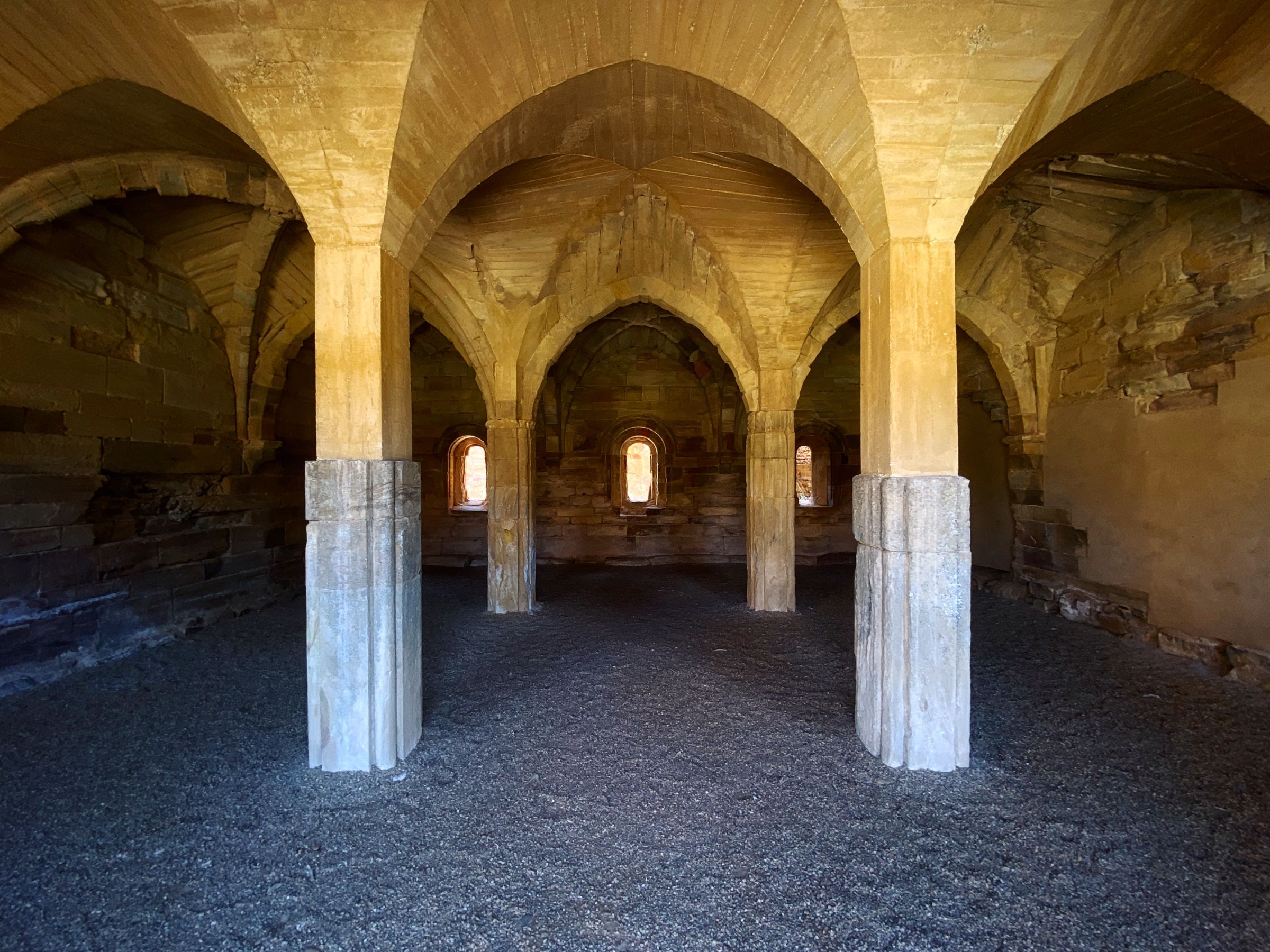
Затем мы решили заехать к еще одной заброшенной шахте Mina de la Esmeralda (когда-то тут добывали изумруды) недалеко от города Касереса. От самой шахты осталось немного — всего несколько зданий, большинство из которых почти полностью разрушены. Но вот с холма где располагалась шахта открывались красивые панорамные виды на окрестности.
Мы были уже не так далеко от нашего финального пункта назначения – примерно в часе езды.
Водохранилище Алькантара 🏕️
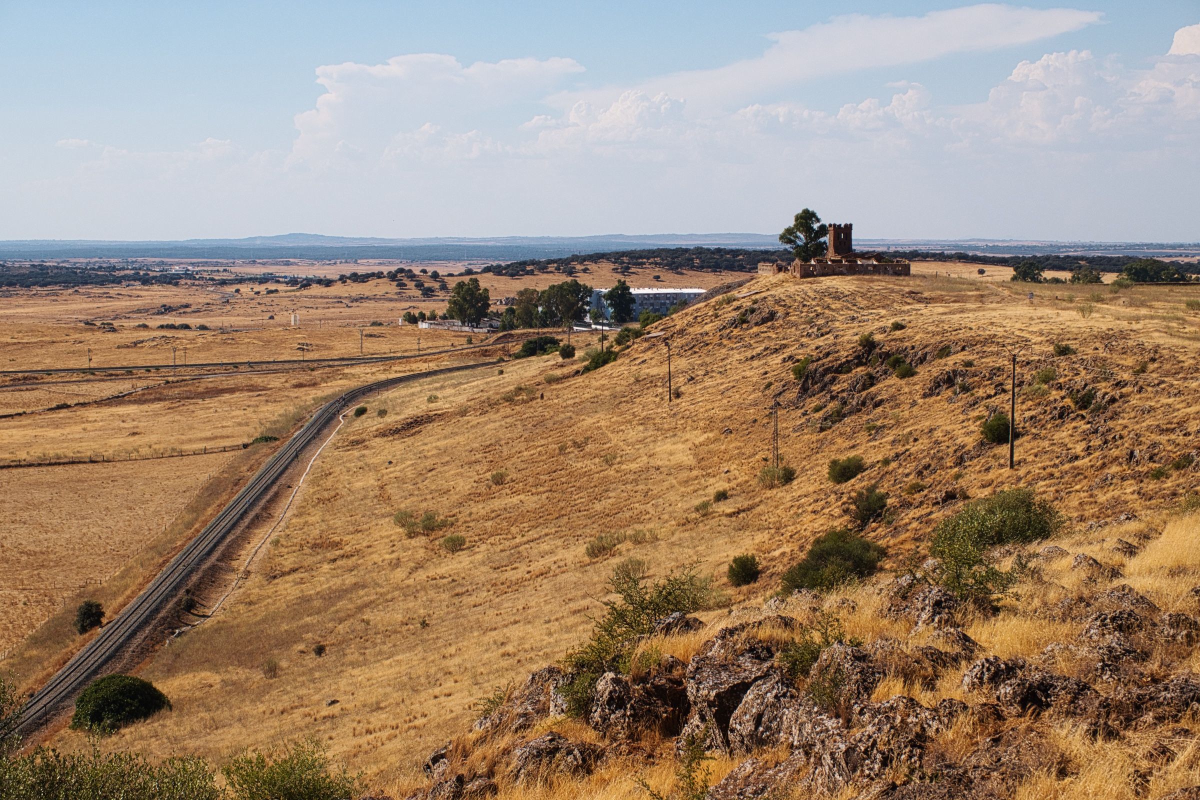
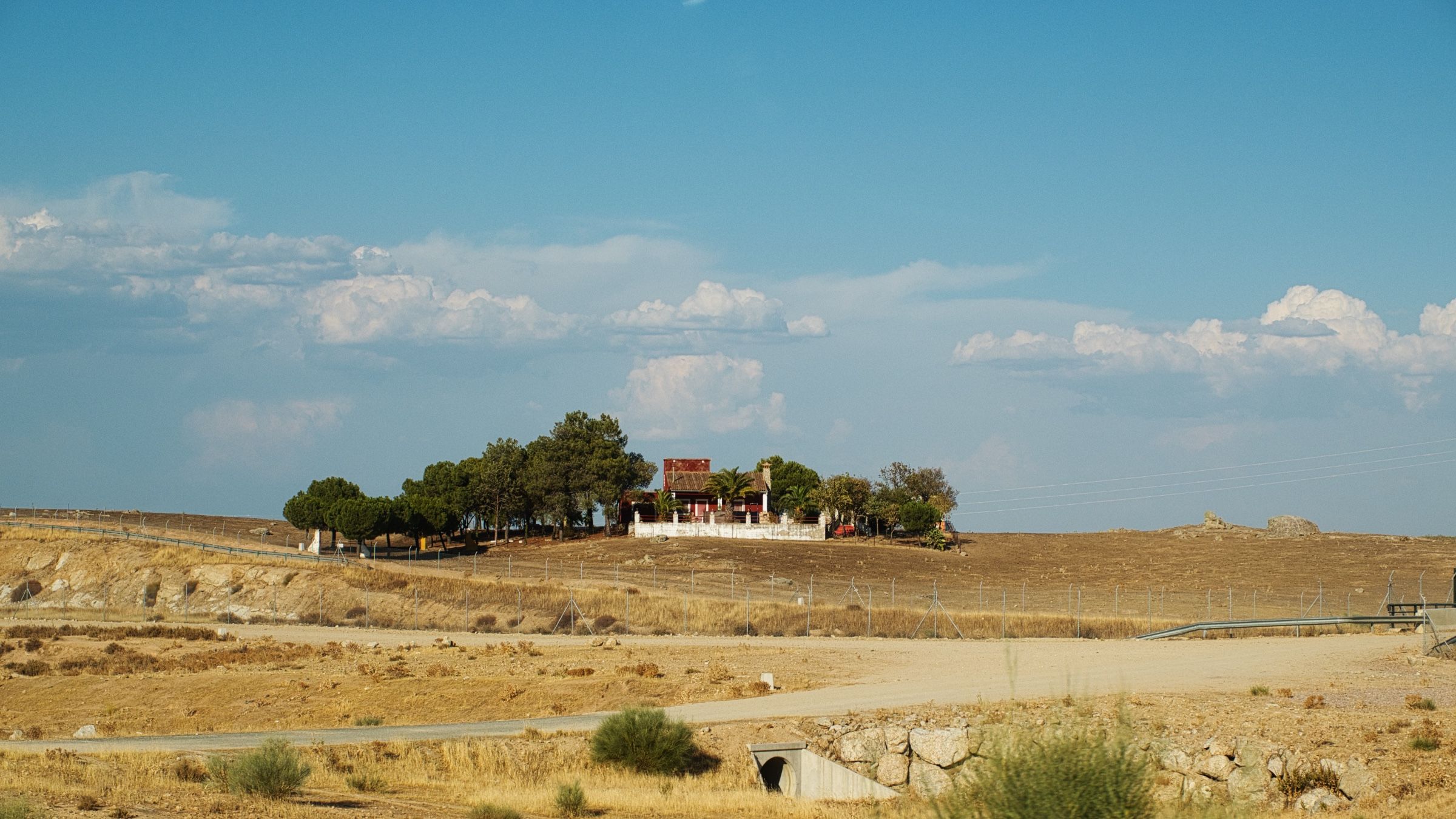
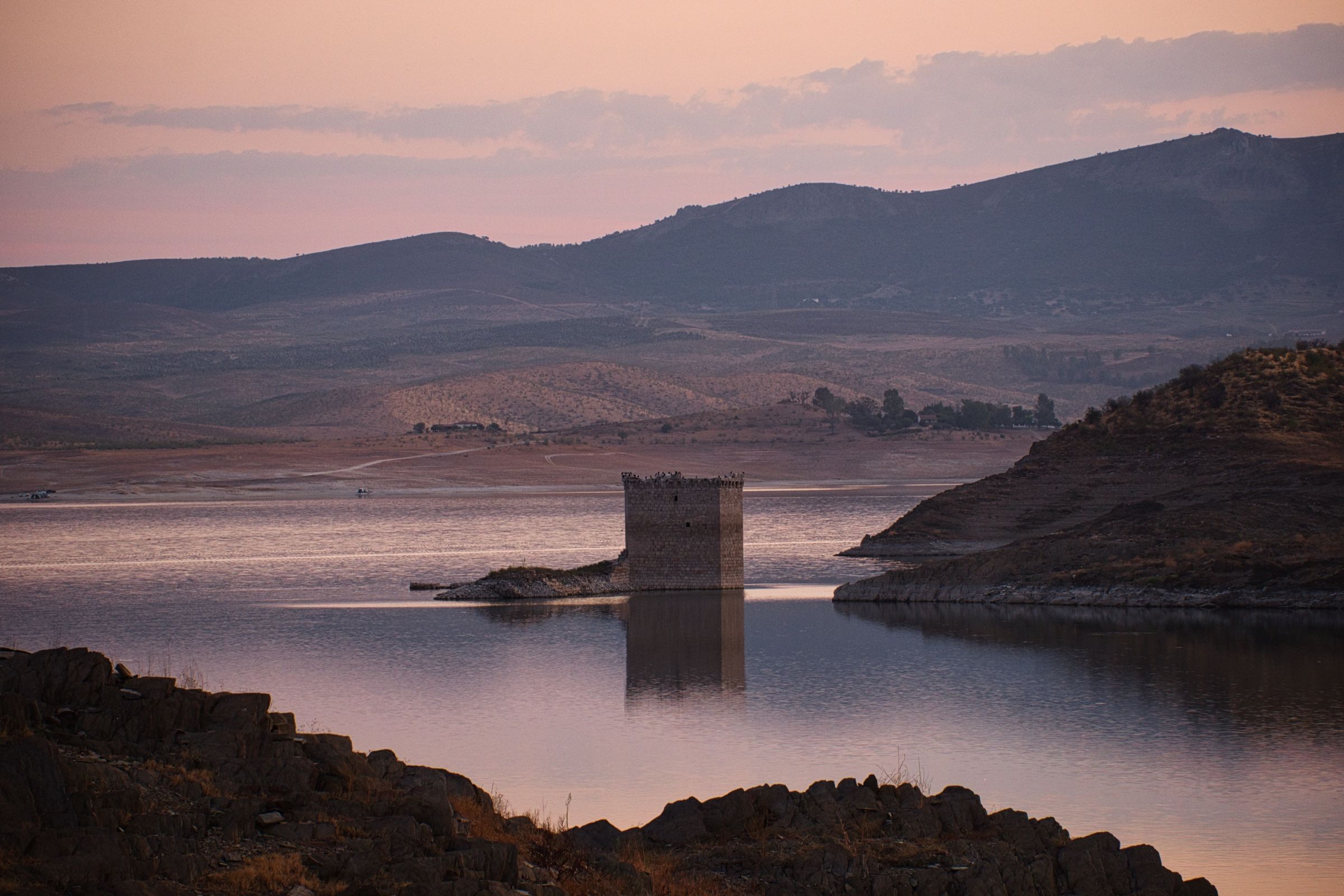
Когда солнце уже начало приближаться ближе к горизонту, мы добрались до очень красивого водохранилища Алькантара (Embalse de Alcántara). Мы нашли там неплохое тихое место, где можно поставить палатку и откуда можно было бы наслаждаться окружающими пейзажами.
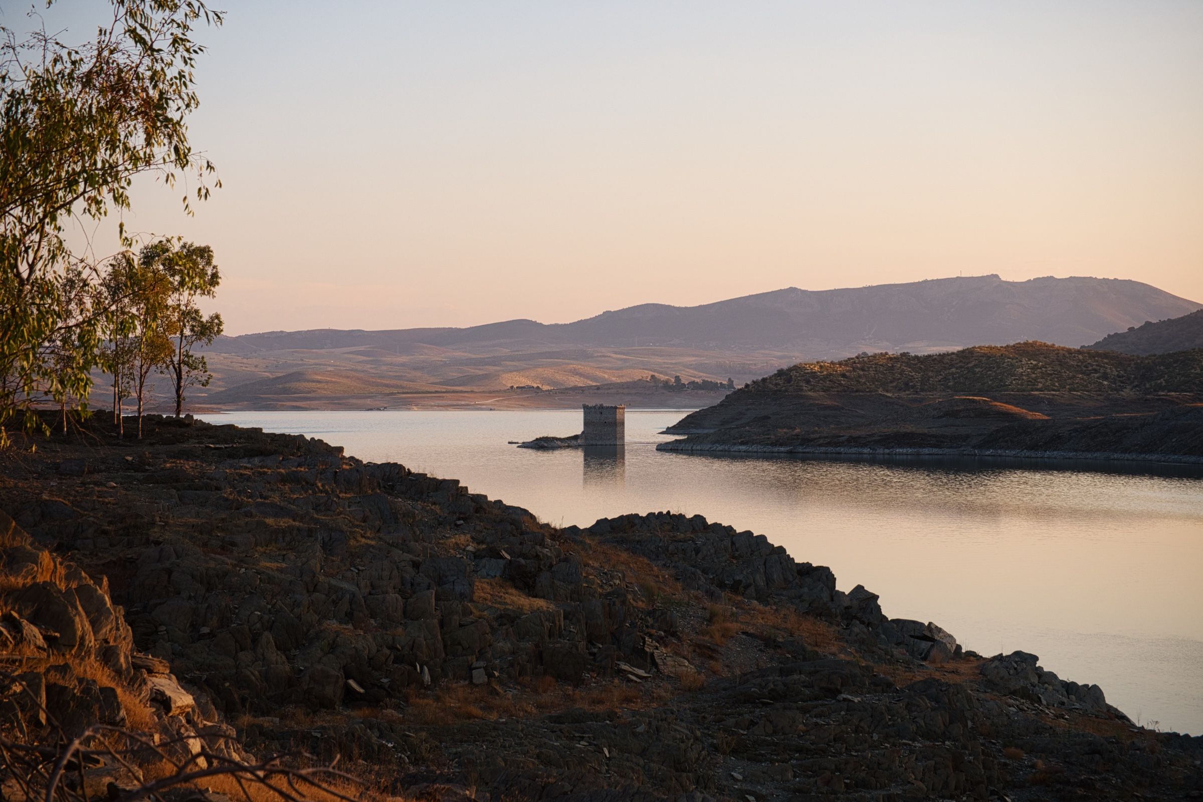
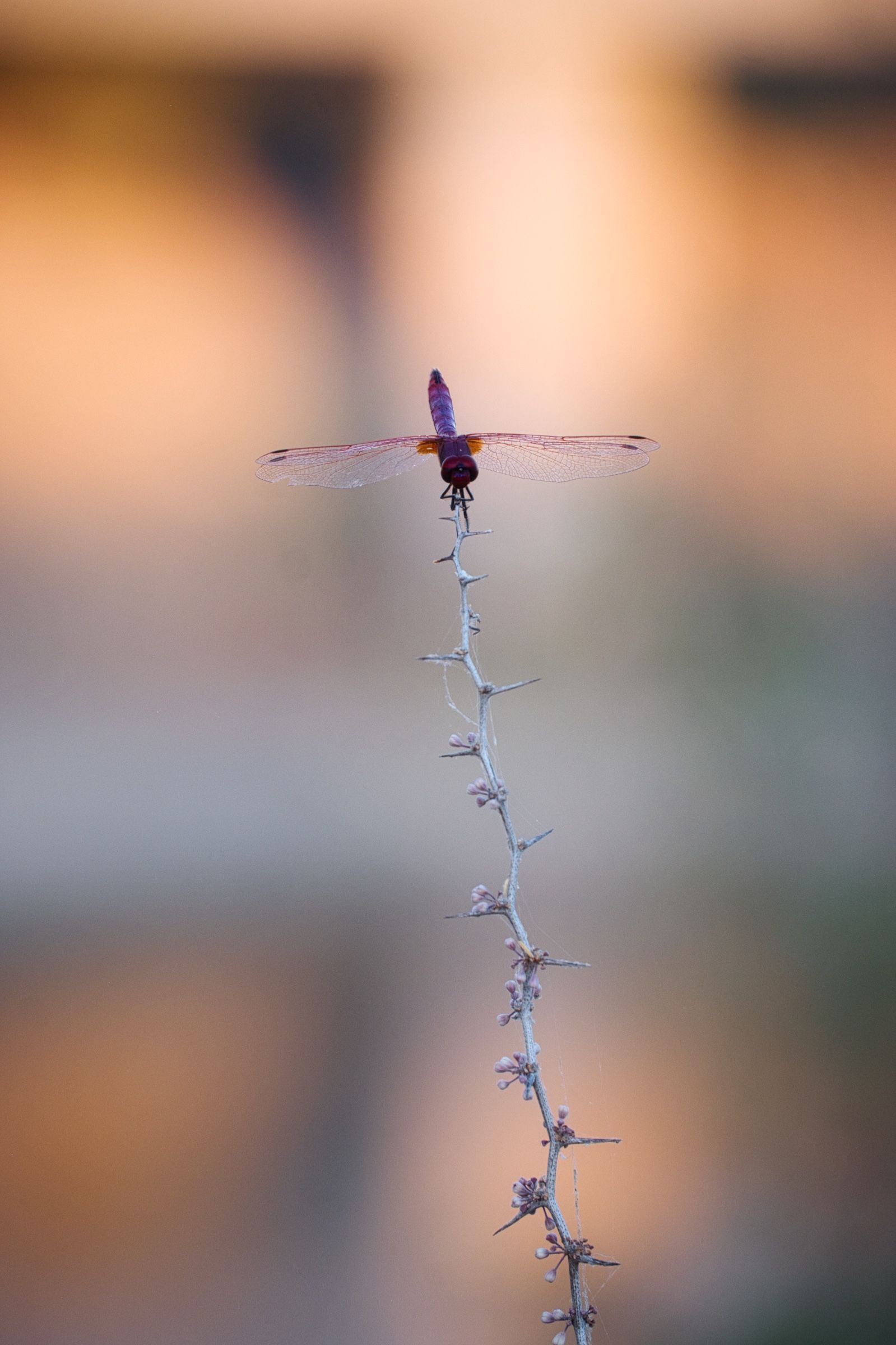
А ещё, у противоположного от нас берега находился затопленный замок Floripes. Вернее его руины, выступающие из воды. Все это конечно только добавляло загадочности и какой-то магии этому месту.

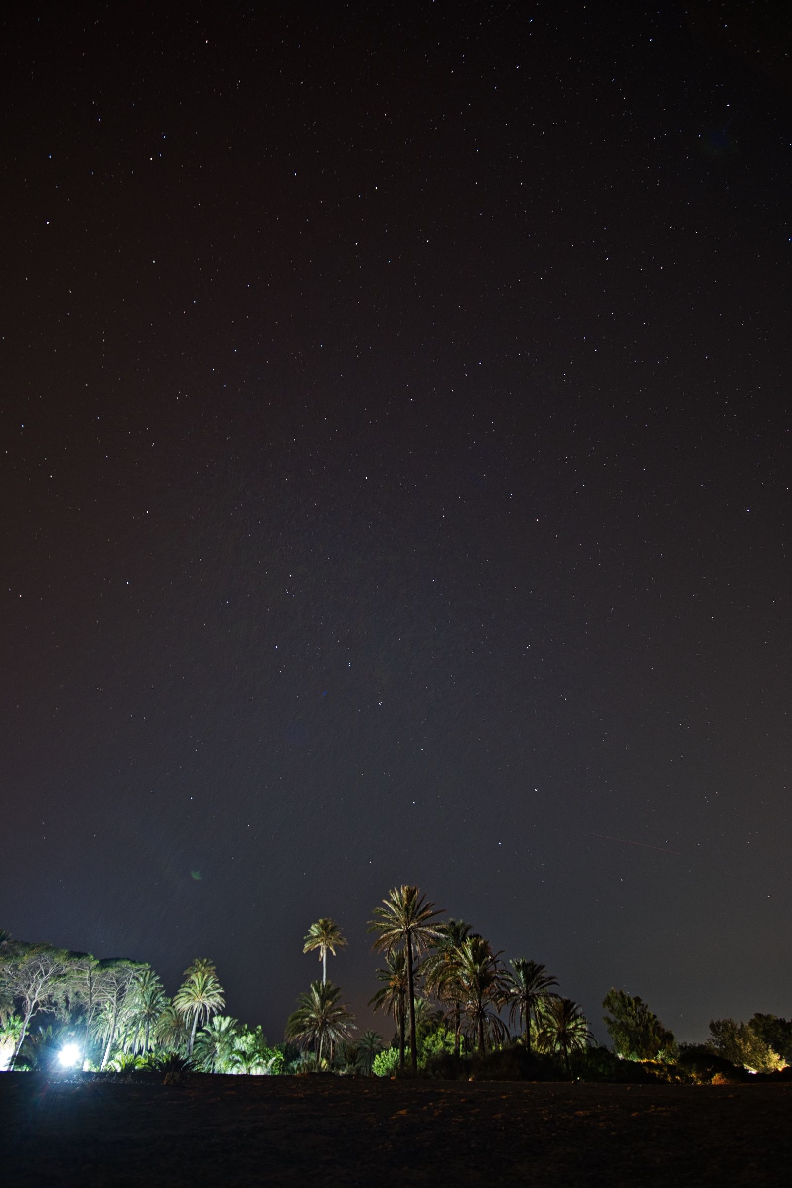
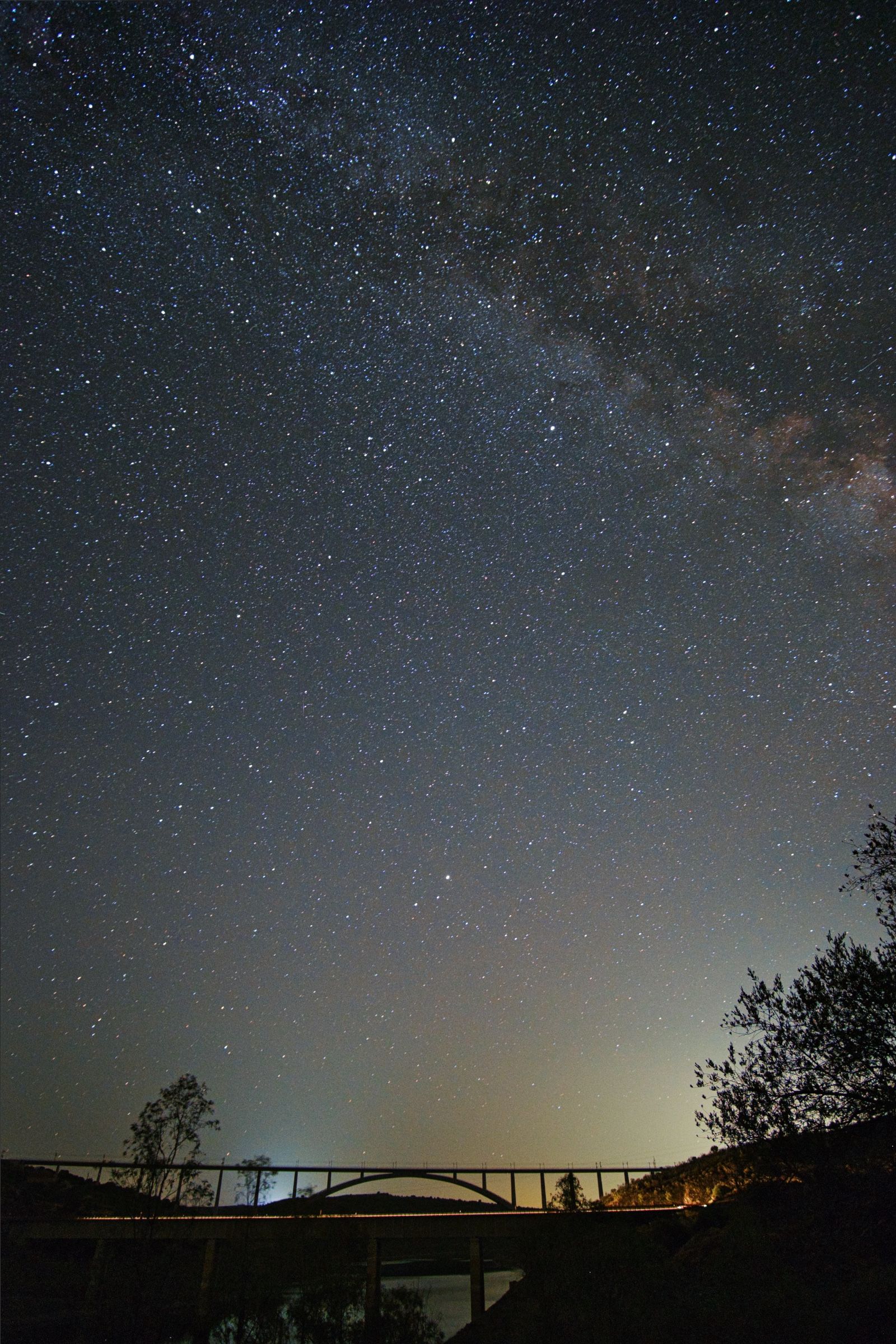
Когда уже полностью стемнело, в небе над водохранилищем начали потихоньку появляться звезды и в какой-то момент оно уже полностью было покрыто тысячами мерцающих точек.

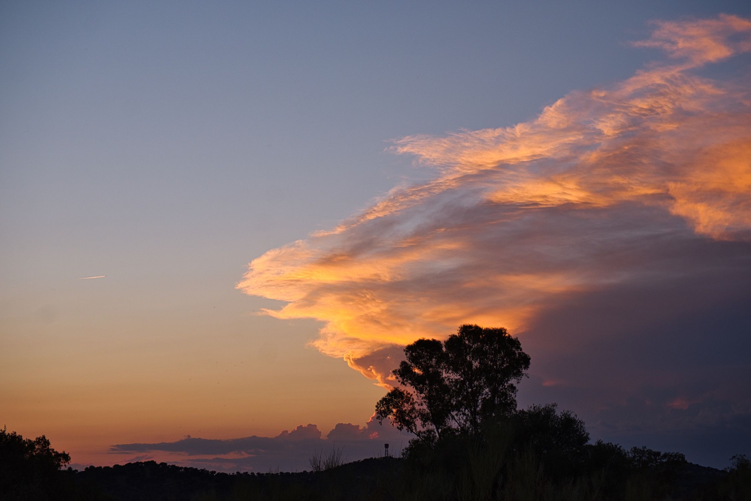
В предвкушении нового дня мы проснулись очень рано, ещё до восхода солнца. И по мере того как сумерки рассеивались, небо окрашивалось в разнообразные оттенки розового, золотого и фиолетового.
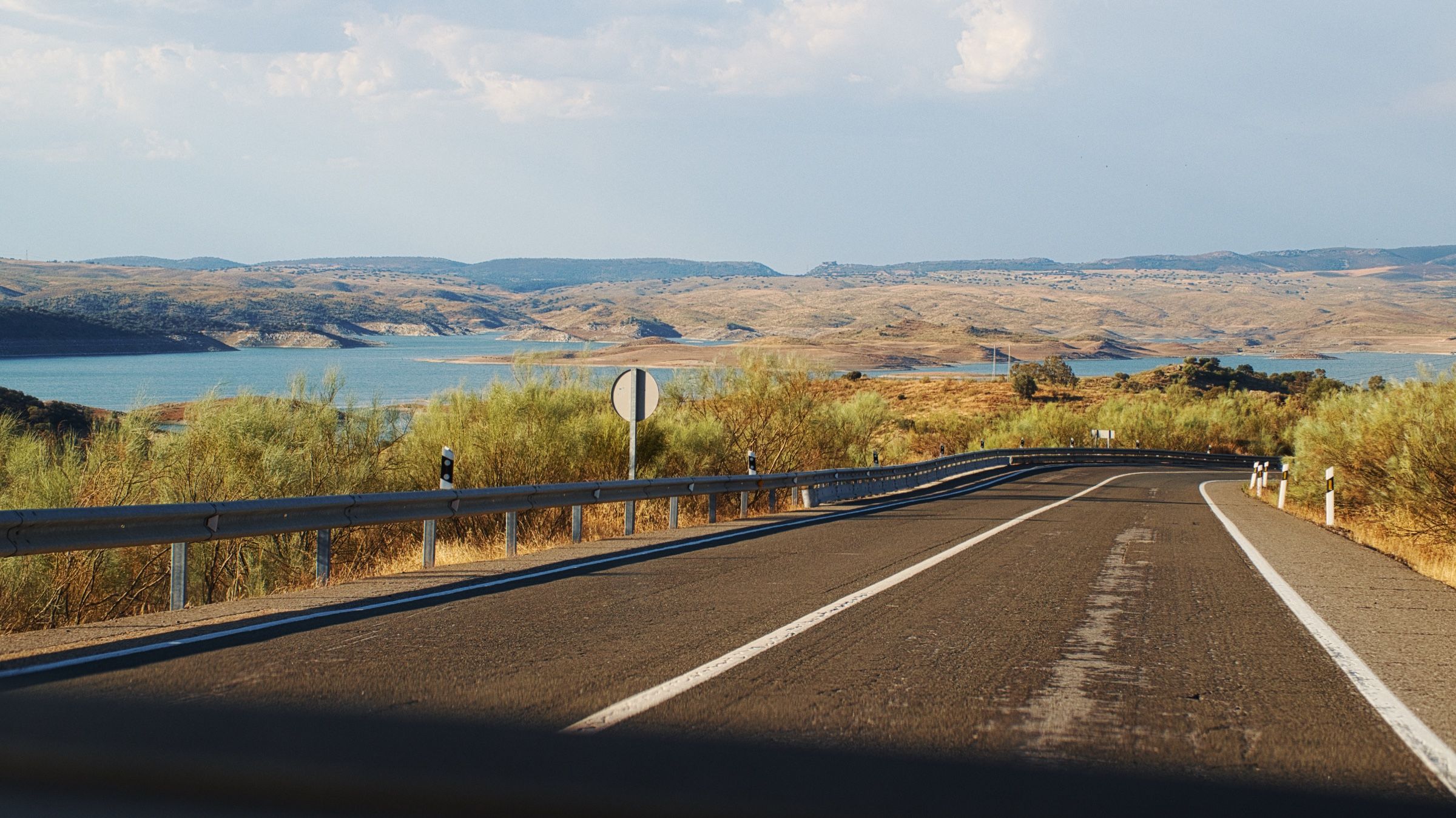
Попив кофе и позавтракав, мы снова отправились в путь. Солнце только начинало подниматься над горизонтом, и дорога была ещё совершенно пустой.
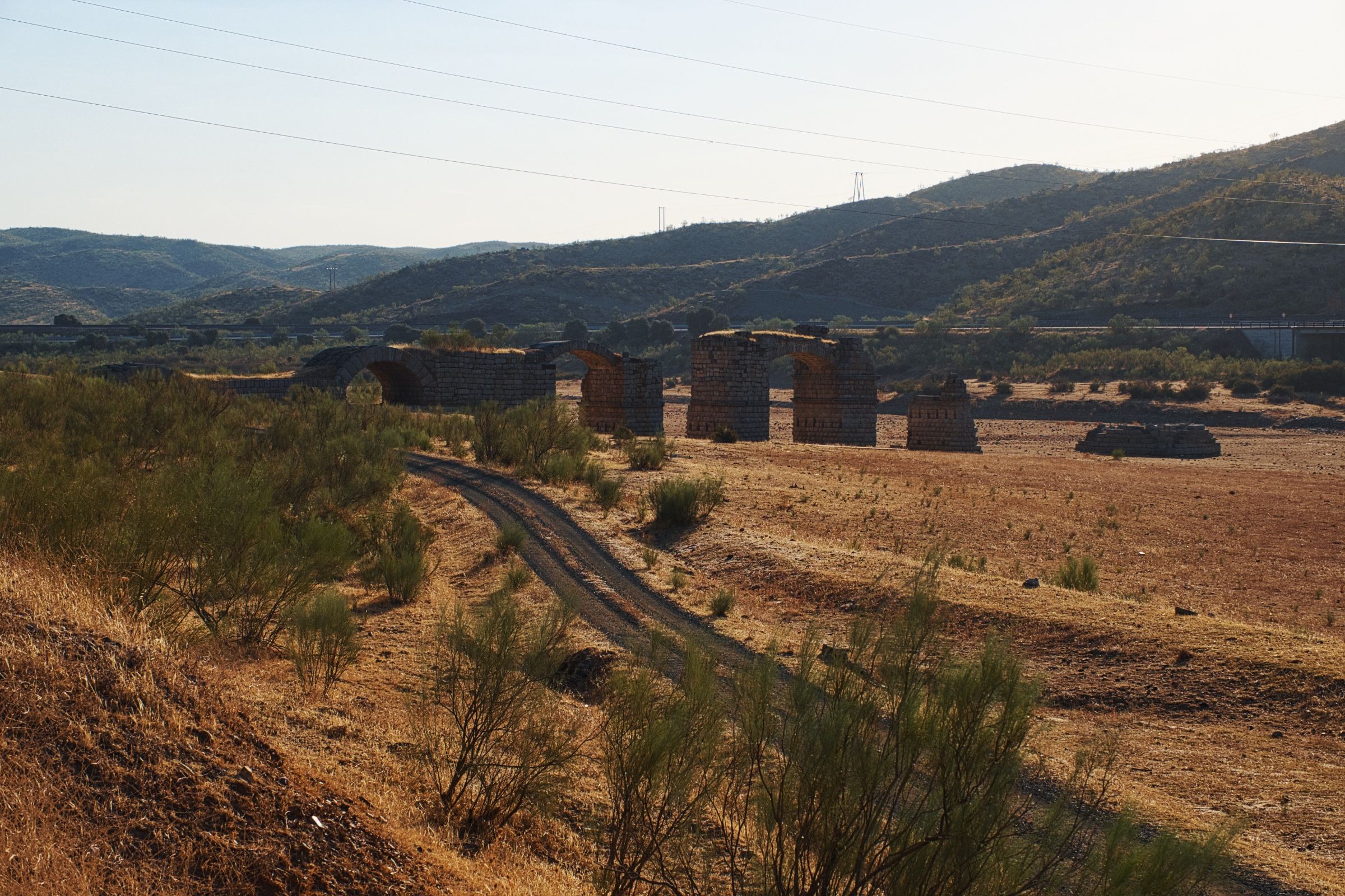
Всего в нескольких километрах от нашей стоянки мы наткнулись на руины старого римского моста – Puente de Alconetar.

После короткой остановки мы вновь продолжили путь.

Вскоре мы пересекли очередную границу между регионами и въехали в Кастилия-Леон – самую большую по площади провинцию Испании.
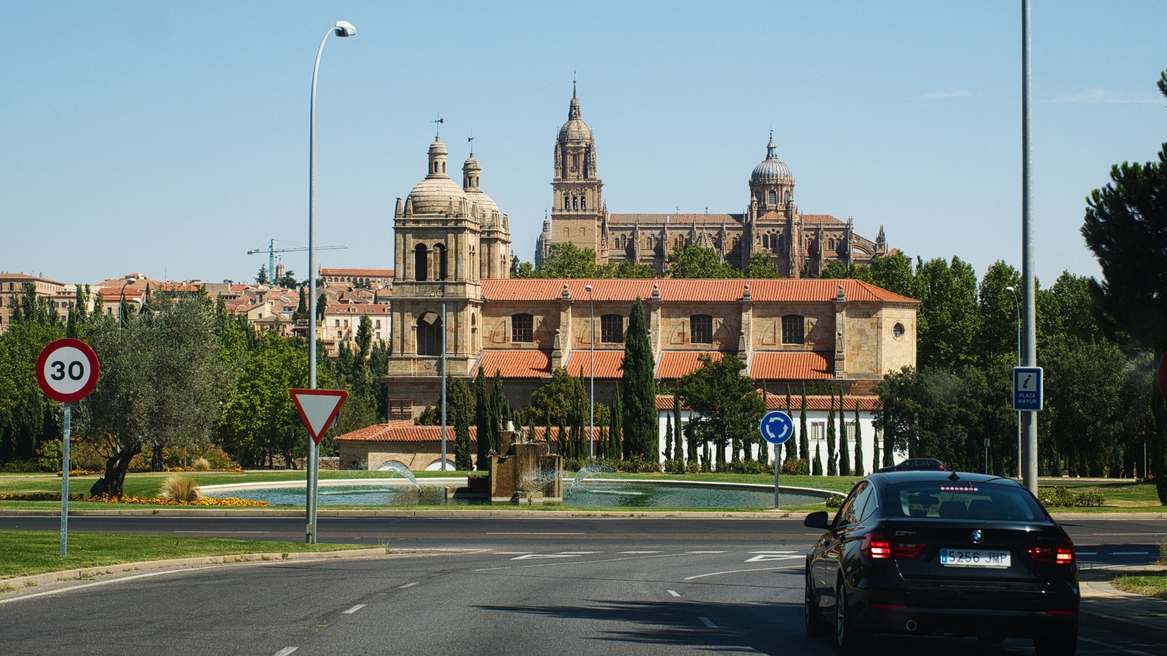
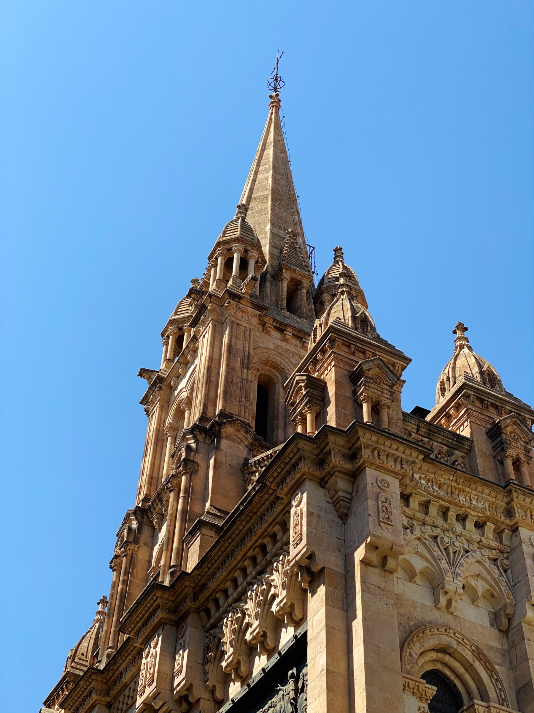
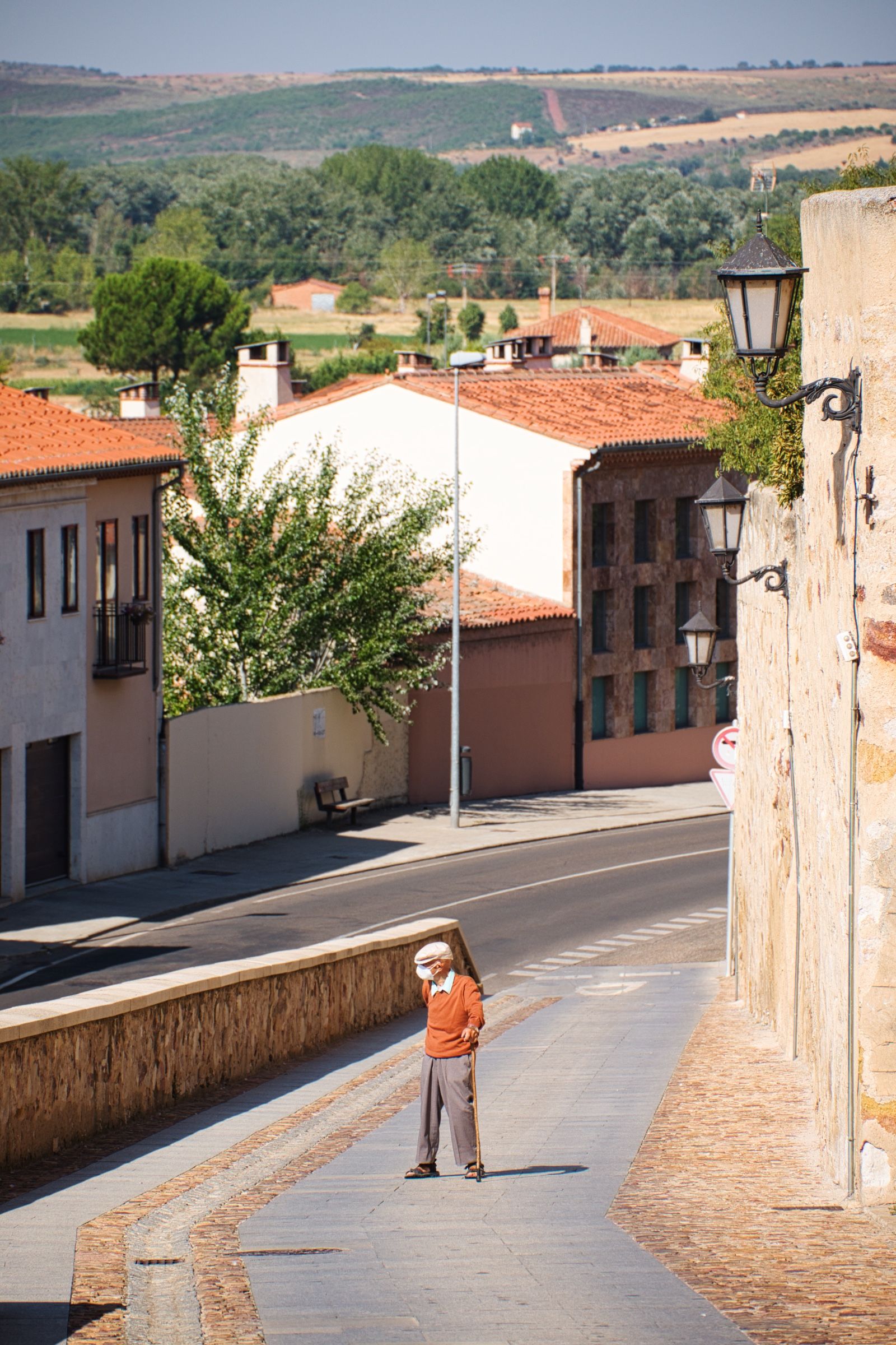
Саламанка
Следующим городом на нашем пути была Саламанка (Salamanca). Поскольку прошлой ночью нам не удалось как следует выспаться в палатке, мы решили дальше уже не ехать в этот день и остановились в отеле.

На следующее утро мы продолжили наш путь.
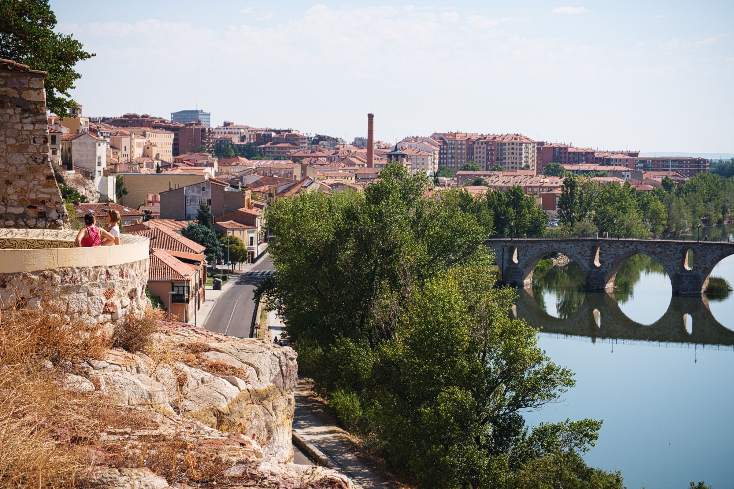
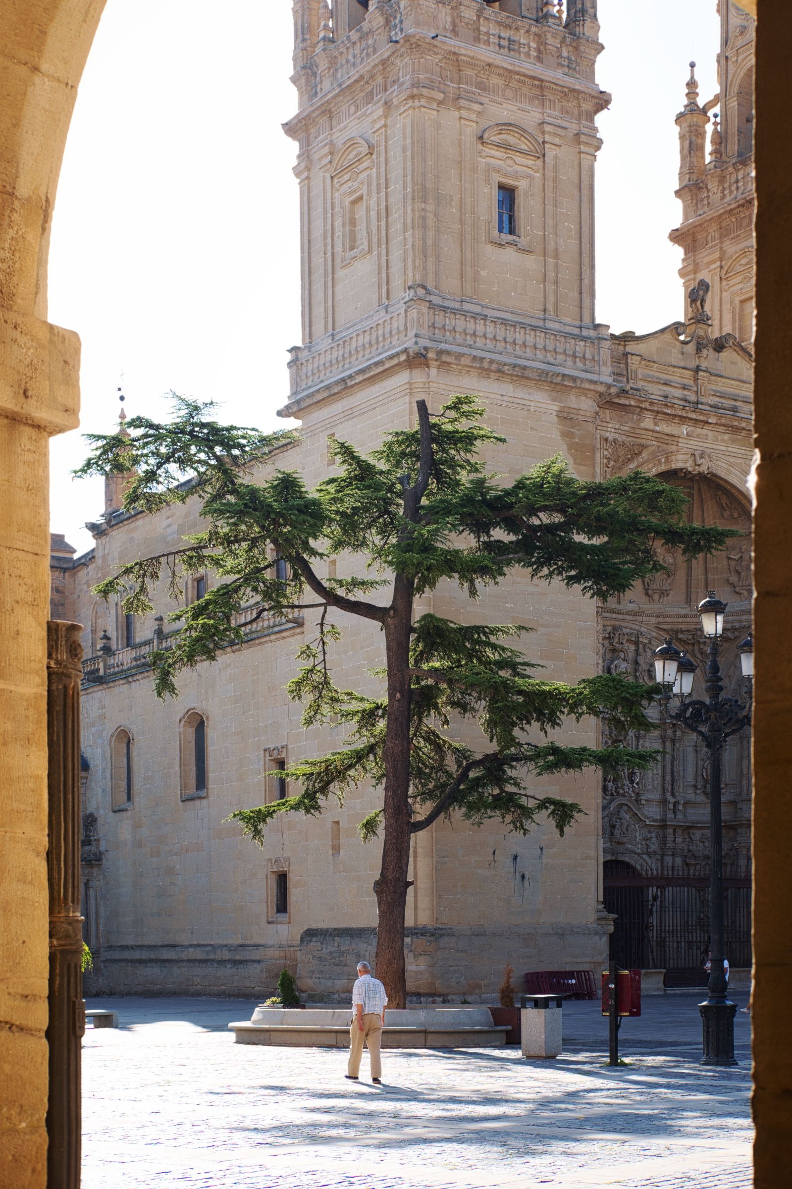
Замора
Всего в часе езды от Саламанки, все так же по N-630, мы добрались до небольшого городка Замора (Zamora).
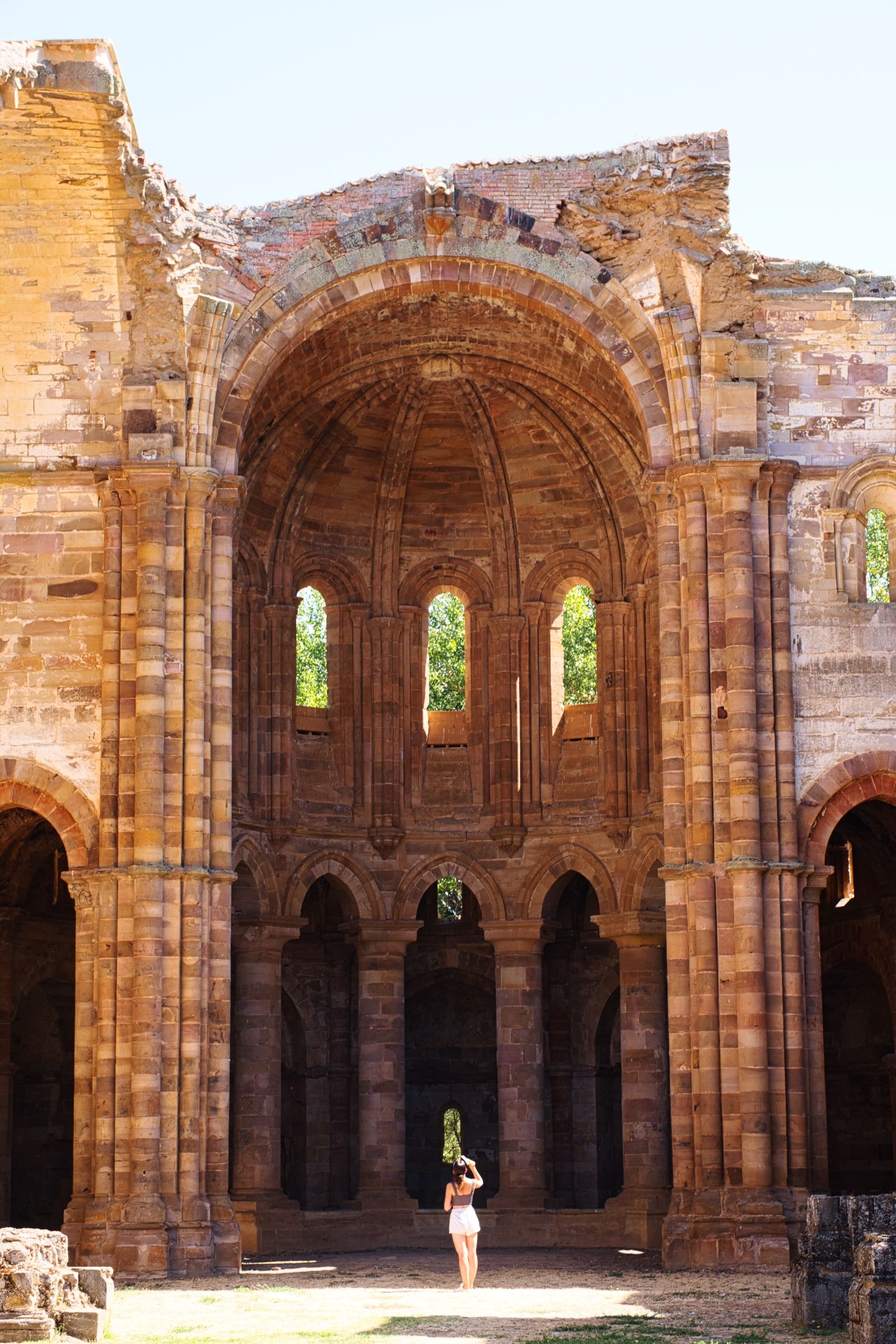
После Заморы мы решили сделать небольшой крюк и заехать посмотреть старые римские руины, расположенные в стороне от главной дороги.


Потом мы двинулись дальше и еще через несколько километров, мы впервые увидели настоящий испанский лес!


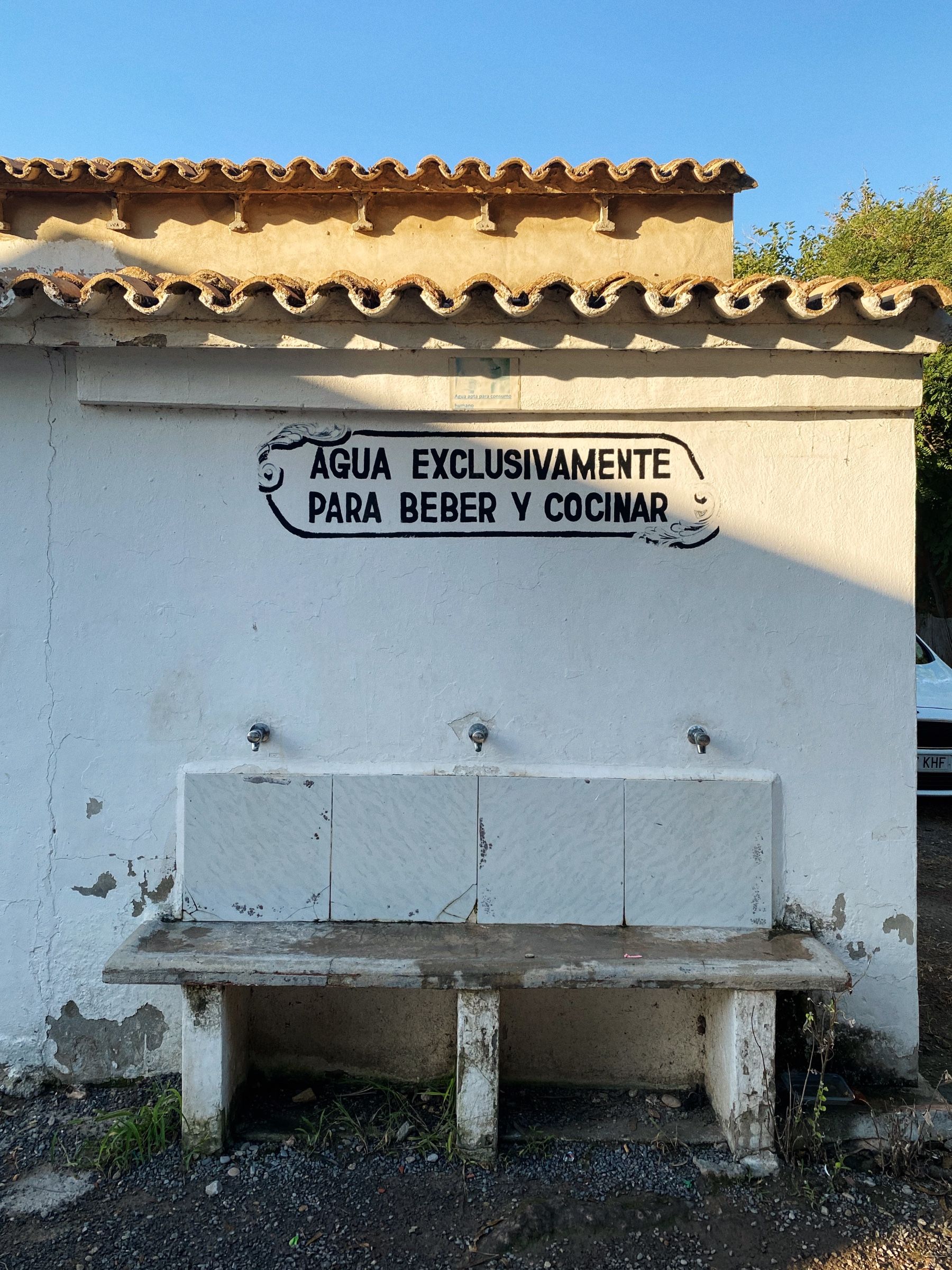
Дальше мы решили сделать перерыв на кофе и нашли для этого прекрасную смотровую площадку со скамейкой и надписью "Самая красивая скамейка" 😁.

Продолжая путь, мы добрались до города Леон, где остановились на обед. Пообедав мы отправились дальше и уже вскоре на горизонте стали появляться большие горы.


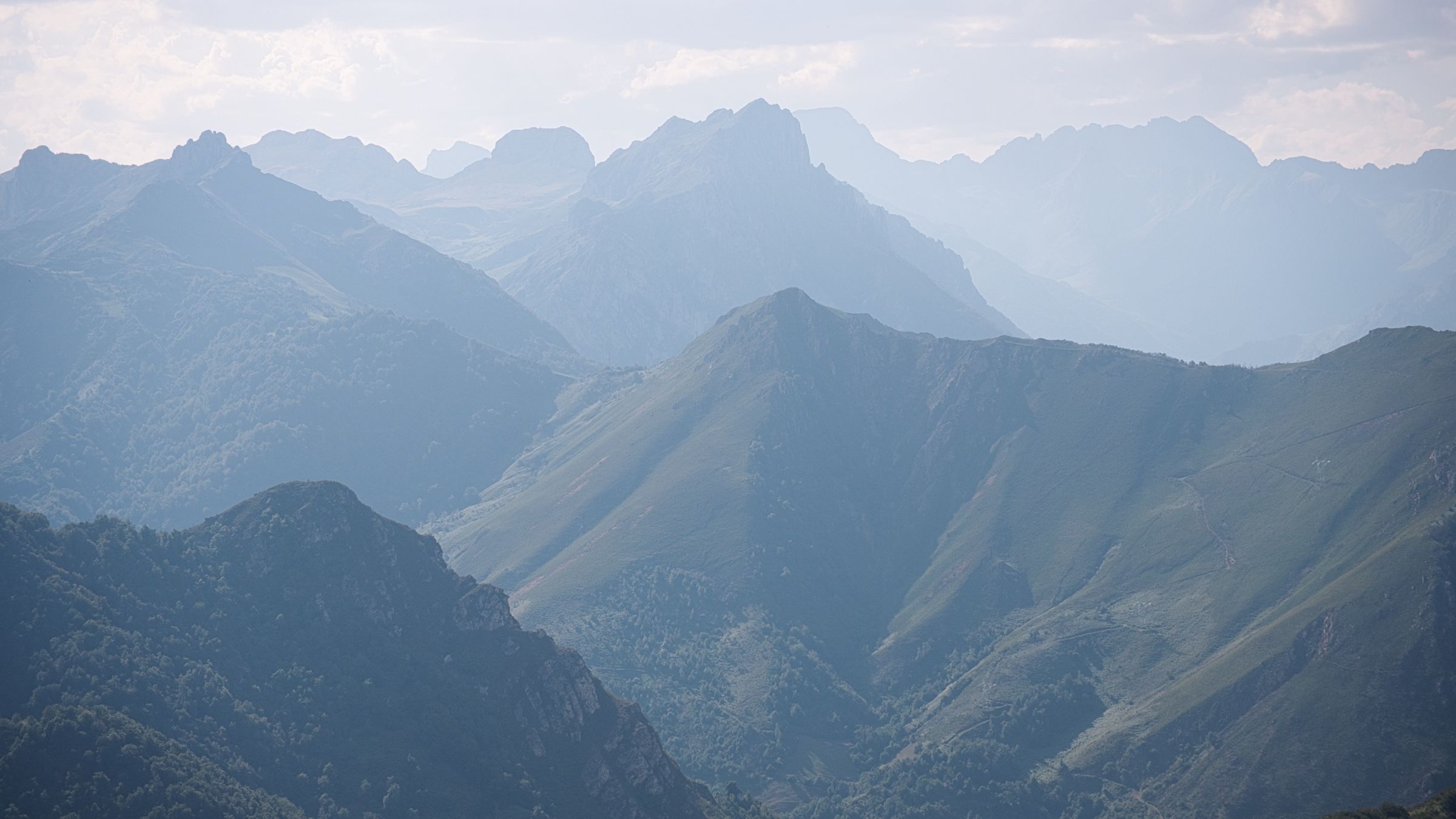
Кантабрийские горы ⛰️
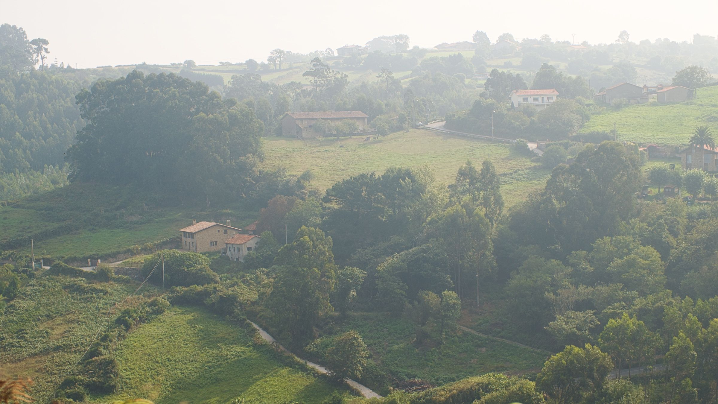
Добравшись по крутой извилистой дороге к самой высокой точке перевала, мы наконец-то увидели острые пики окружающих его вершин. Интересно, что в тот момент я думал, что мы проезжали через Пиренеи, но на самом деле это отдельная горная цепь, так как Пиренеи расположены дальше на восток, ближе к Франции.
Так же, мы пересекли границу региона Астурия и сразу от нее начался затяжной спуск к океану.
Хихон
Наконец, мы прибыли в город Хихон (Gijon). Здесь дорога N-630 заканчивалась, завершая большую и значительную часть нашего путешествия.


Атлантический океан 🌊
Мельком осмотрев город и заехав в магазин, мы направились к месту ночлега – кемпингу неподалеку, расположенному в красивой бухте на берегу океана!

Ужинали мы в тот день, естественно, с незабываемыми видами.
Через горы
Проснувшись на следующее утро, мы собрали палатку, в последний раз позавтракали на берегу океана и отправились в путь.
Нам нужно было снова переехать через горы, но на этот раз в противоположном направлении.


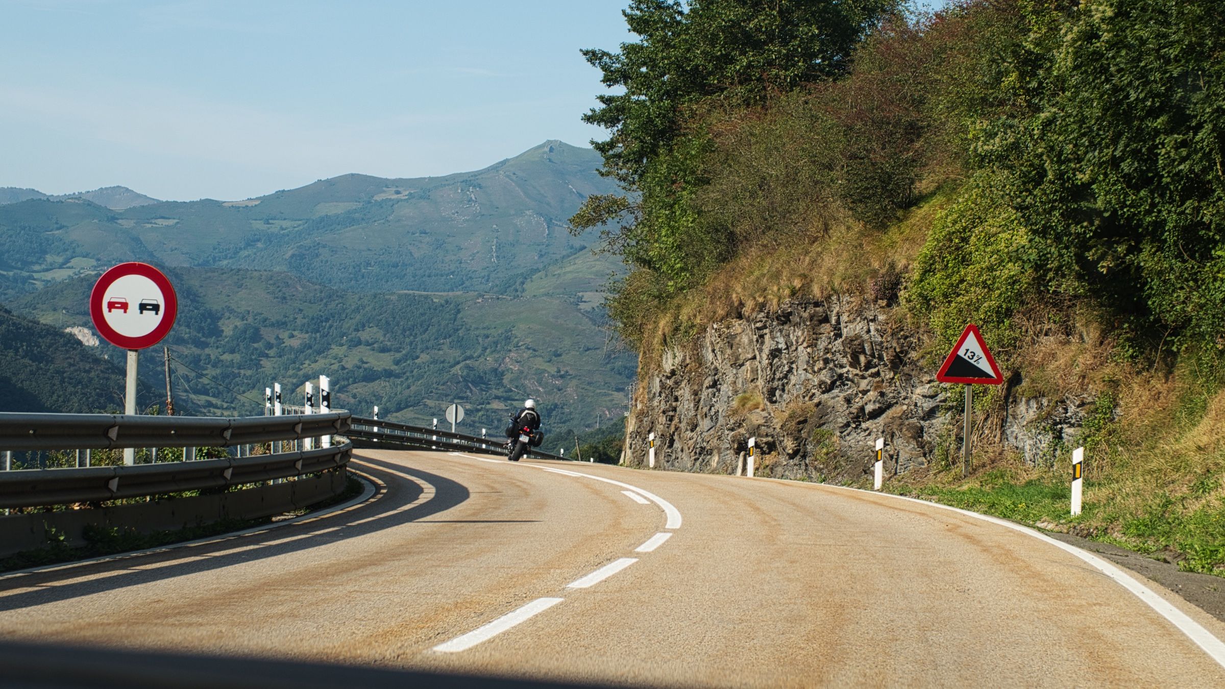
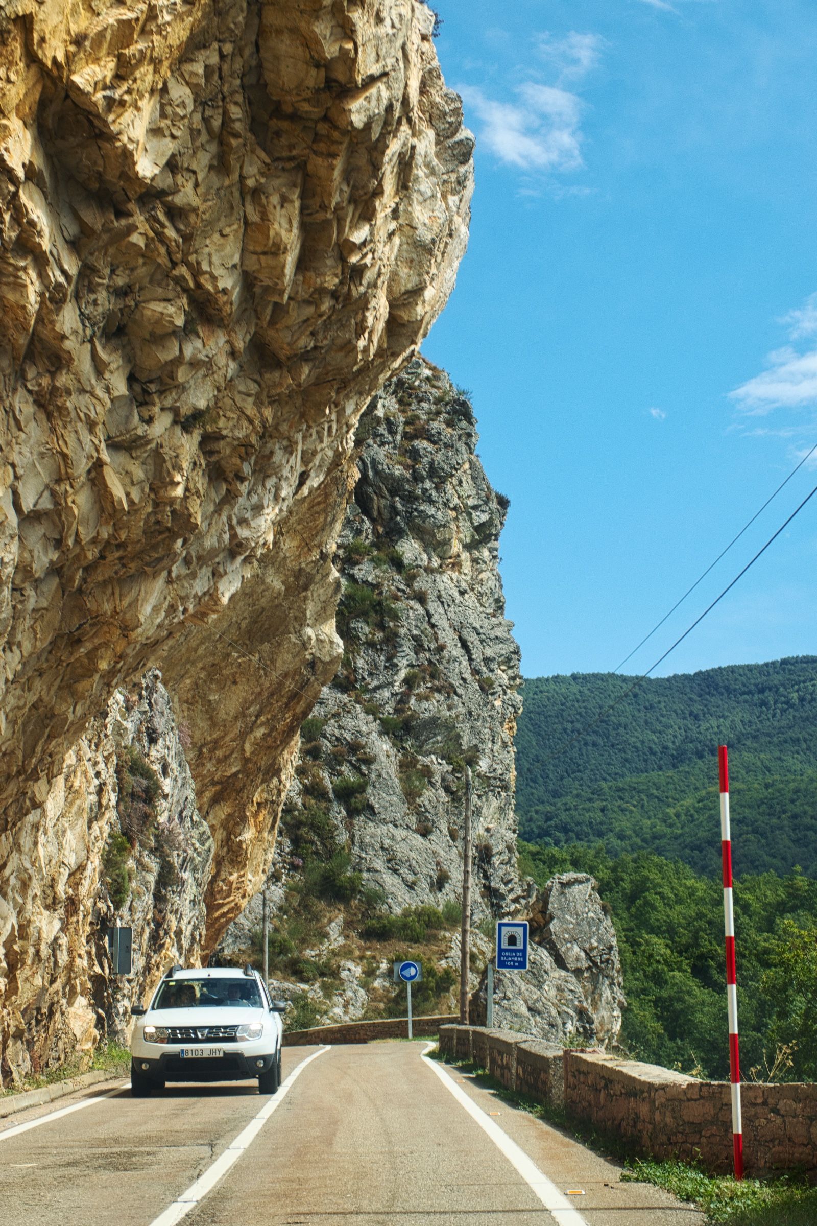
На этот раз мы решили ехать только по самым мелким дорогам. И, конечно, самой запоминающейся частью была дорога N-625, особенно тот участок, который проходит через ущелье Лос-Бейос (Los Beyos). Дорога на этом участке невероятно узкая и извилистая, а в некоторых местах над вами даже нависают отвесные скалы.
Рианьо
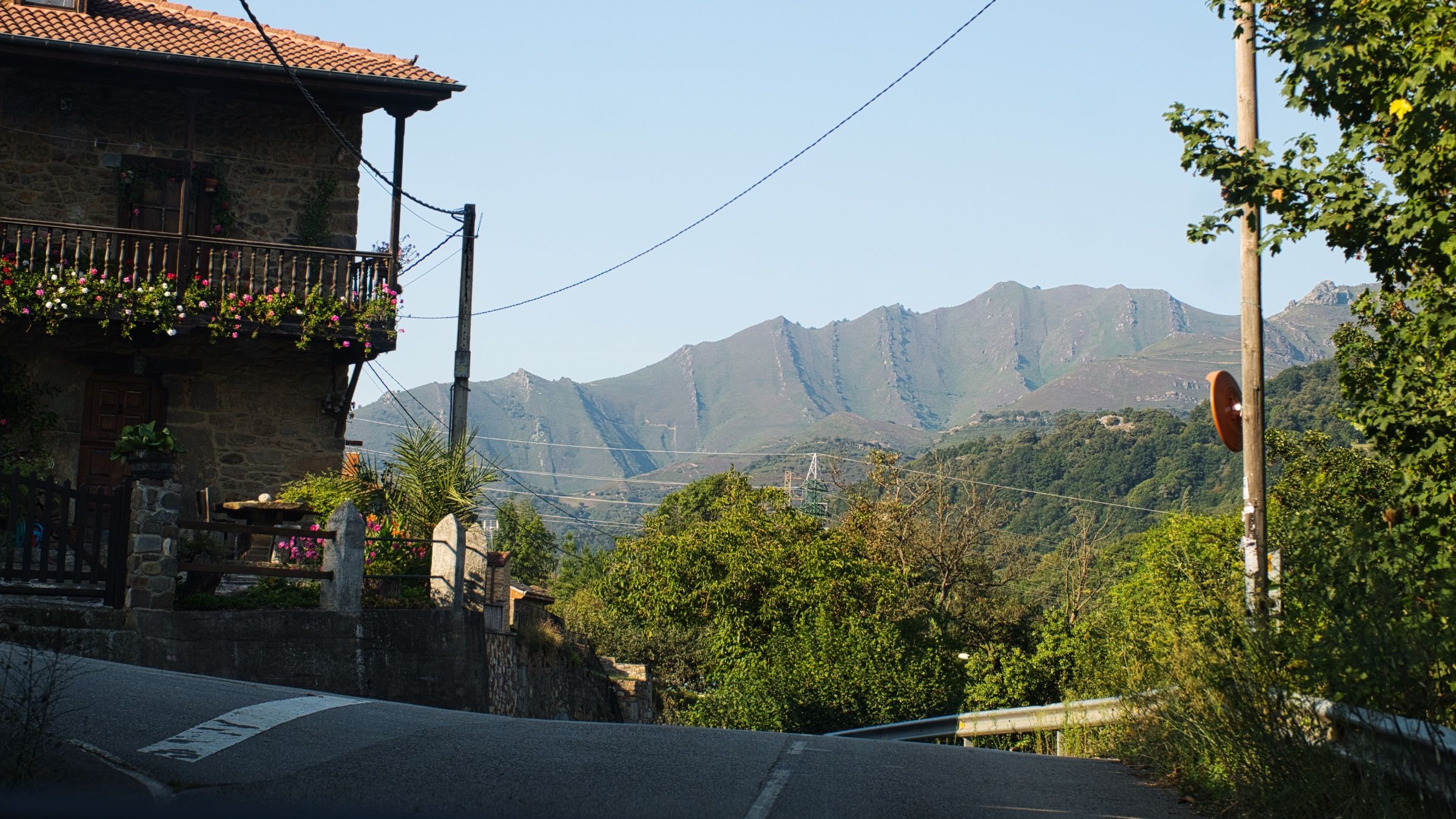
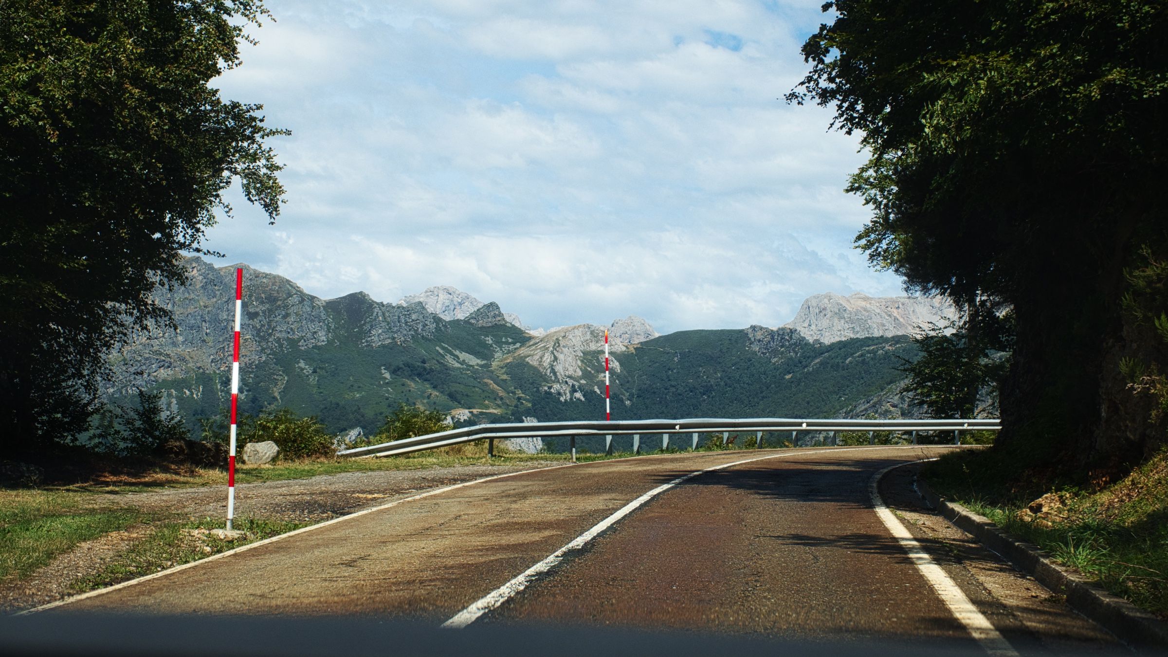
В конце концов, дорога приводит к небольшой деревушке Рианьо (Riaño) на берегу одноименного водохранилища, и окруженной массивными скалами. Мы, конечно же, не смогли удержаться, чтобы не остановиться там и не сделать небольшой перерыв на кофе.

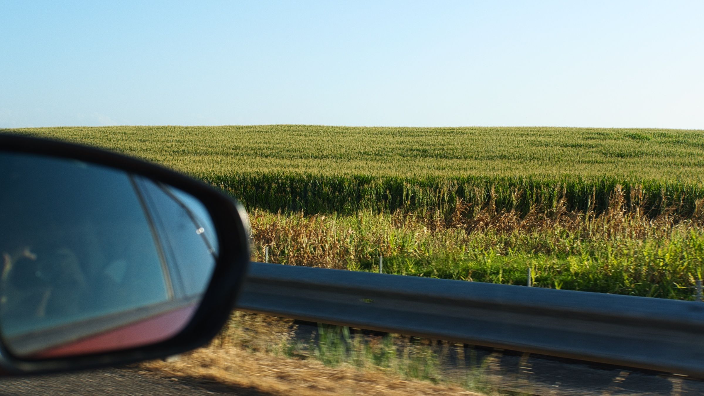
После небольшой паузы мы продолжили наше путешествие. Извилистые горные дороги постепенно сменились прямой дорогой, а пейзаж за нашим окном превратился из гор в бескрайние поля.

Почти весь остаток дня мы провели в машине, лишь изредка останавливаясь на заправочных станциях и в местах отдыха.

_xUKCkiRvg.svg)
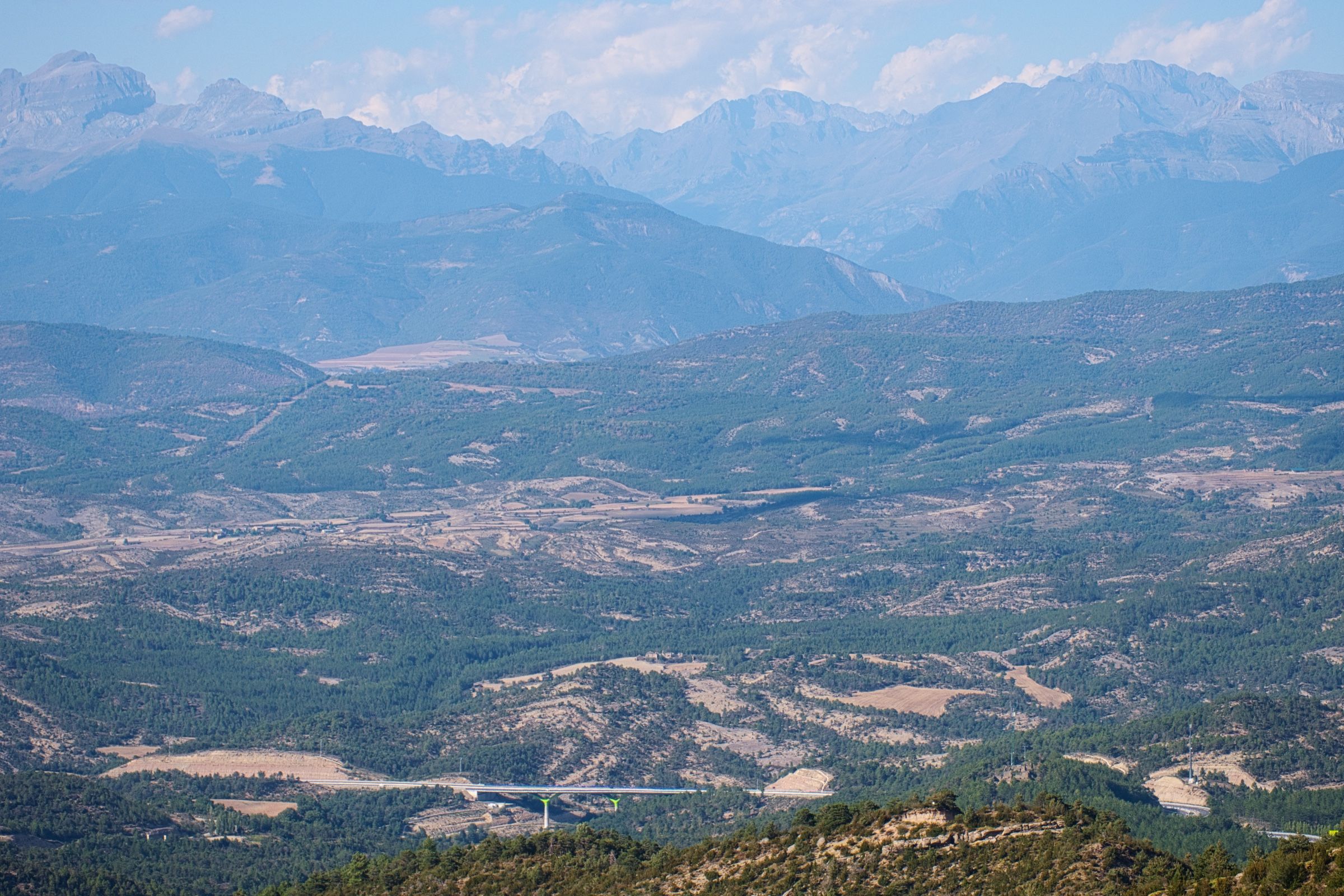
Иногда обширные поля сменялись пологими холмами, а на горизонте появлялись высокие пики Пиреней.
Почти к заходу солнца мы прибыли в Логроньо (Logroño), провинция Ла-Риоха (La Rioja). Здесь мы остановились только чтобы переночевать. На следующее утро мы намеренно отправились в путь пораньше и уже через пару часов были в Памплоне (Pamplona).
_Q4Tg6AKdw.svg)
Памплона
Памплона, расположенная на севере Испании, больше всего известна своими ежегодными забегами быков, во время которых быков выпускают на волю и они пробегают по центральным улицам города.

Мы не застали сам забег, он проходит в июле. Тем не менее, мы прекрасно провели время, прогуливаясь по узким улочкам старого города.

Назад в Барселону
Пообедав в Памплоне, мы продолжили наше путешествие.
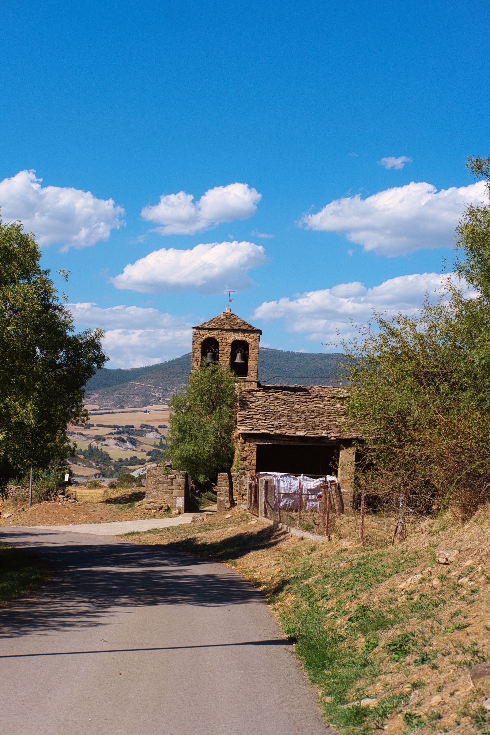
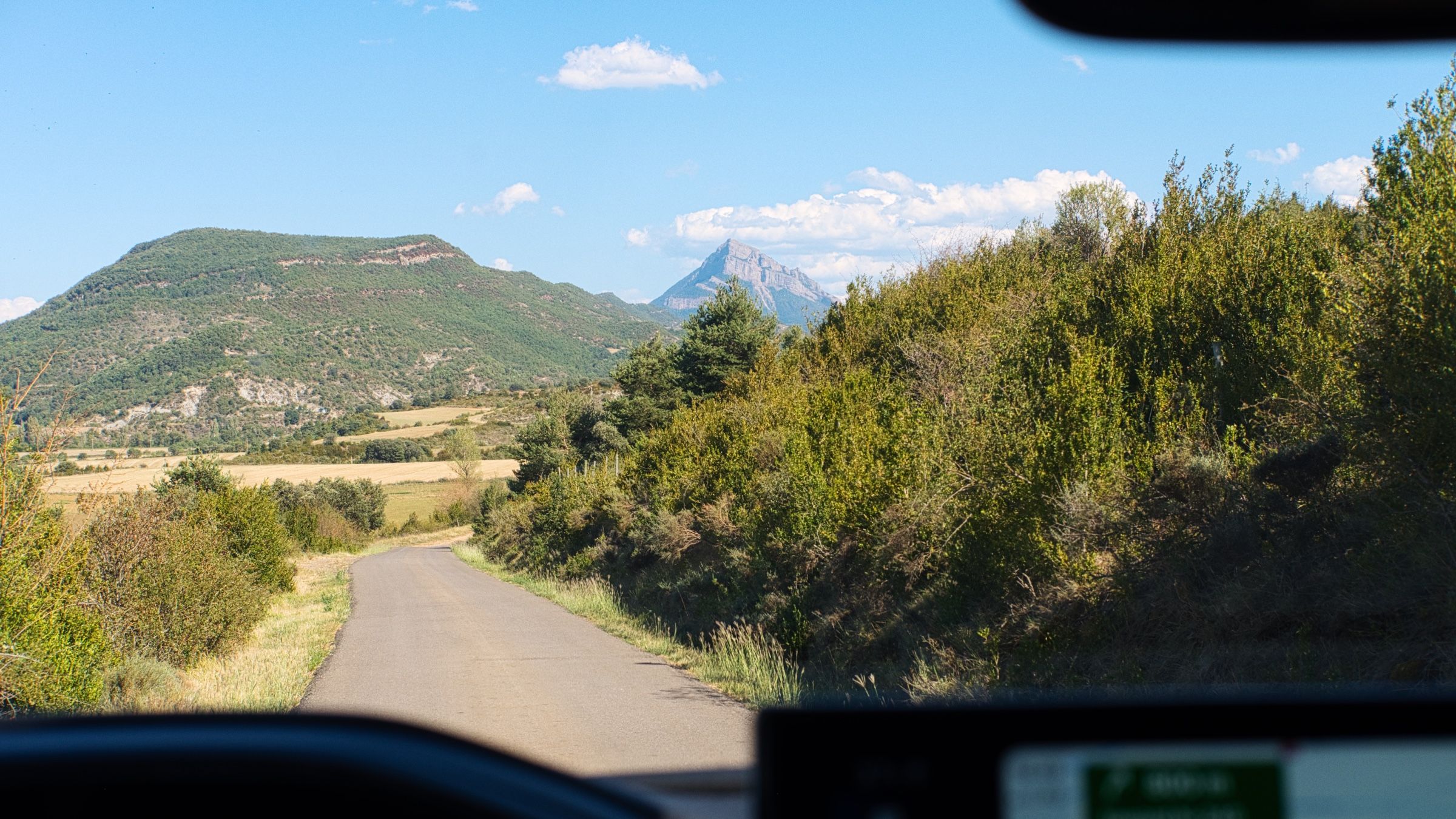
Выехав из города по магистрали, примерно через час мы снова свернули на небольшую дорогу N-240.

В тех местах N-240 довольно долго идет вдоль главного Пиренейского хребта, и по пути там открываются совершенно невероятные виды.
Наконец, вдоволь попетляв, мы опять вернулись на скоростную магистраль и направились в наш отель в городе Льейда (Lleida).
Льейда
Льейда была последним городом в этом путешествии, где мы остановились на ночлег.
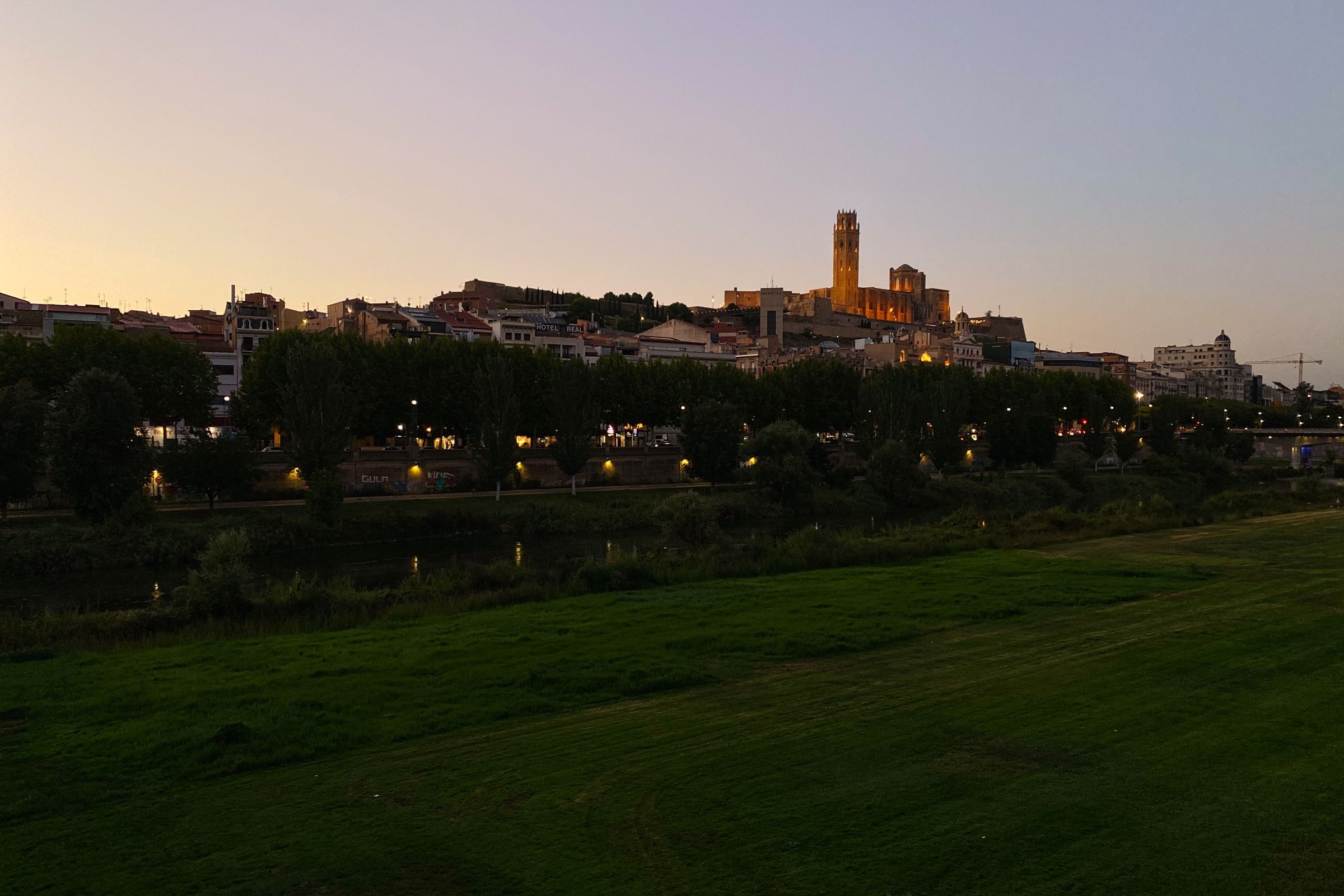
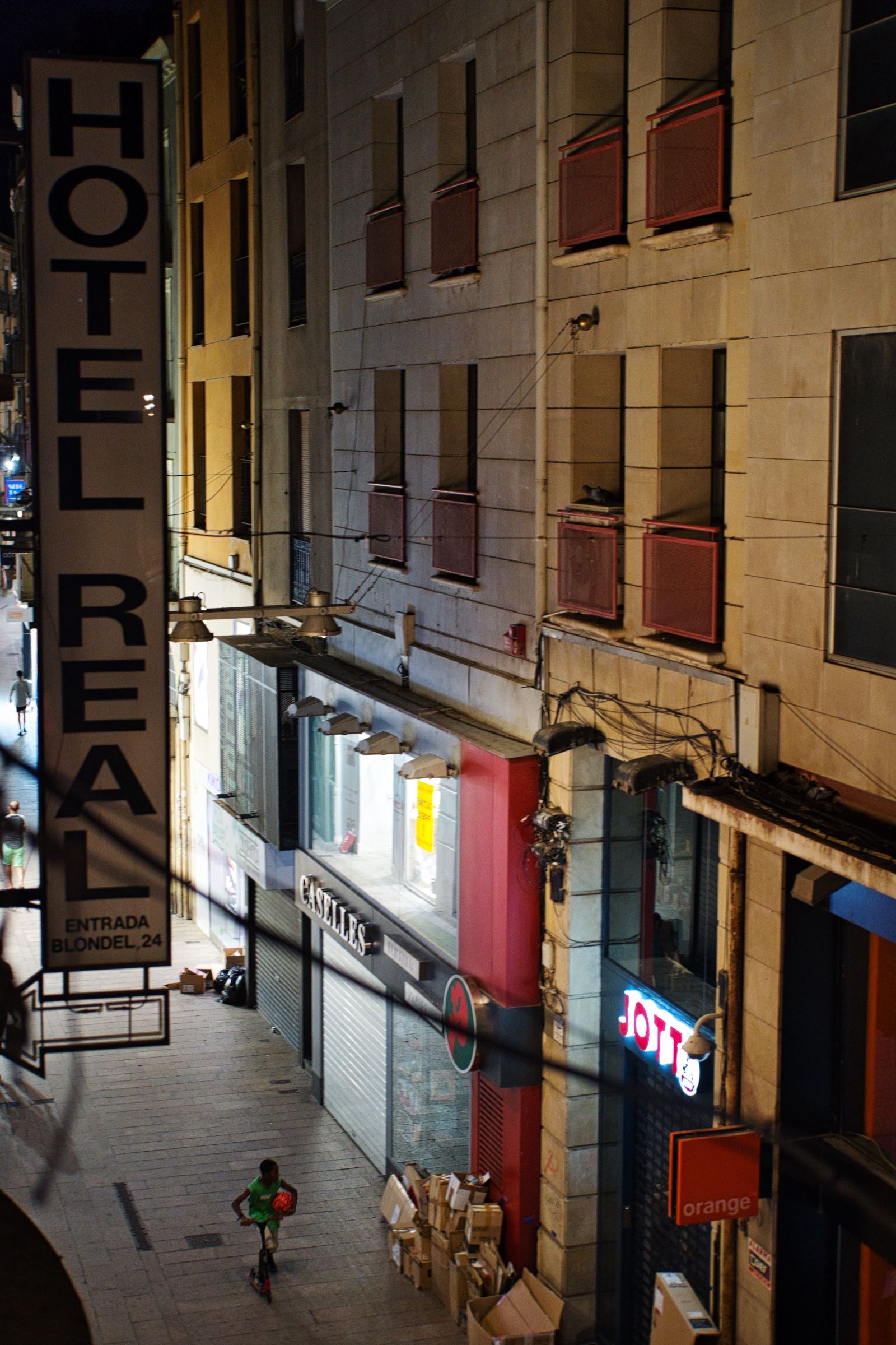
После небольшой вечерней прогулки по городу, мы нашли небольшой уютный ресторан, где мы и отпраздновали наш последний полноценный день в дороге.
На следующее утро, собрав вещи и позавтракав, мы направились в Барселону и довольно быстро добрались до аэропорта.
Впервые за долгое время пошел дождь, и пока мы сидели в самолете, ожидая взлета, небо стало полностью черным, и началась гроза...
3522 км по полям, пустыням и горам, 10 регионов (автономных сообществ) Испании, 7 ночей в отелях и 4 ночи в палатке.